
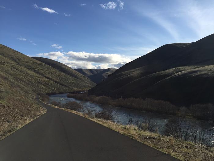
Lower Deschutes River Back Country Byway
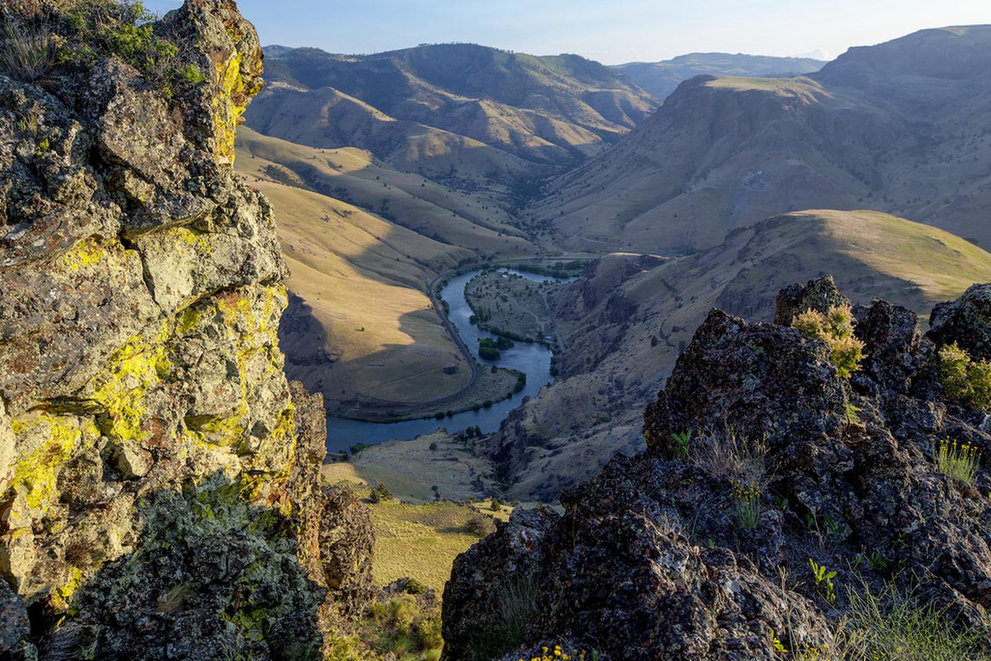
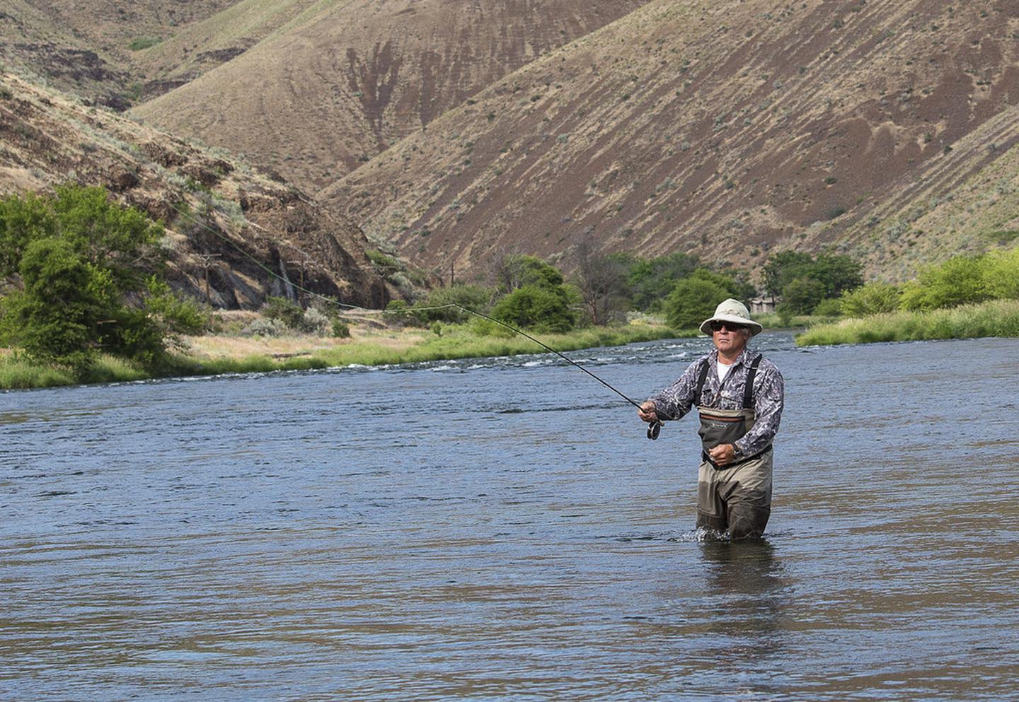
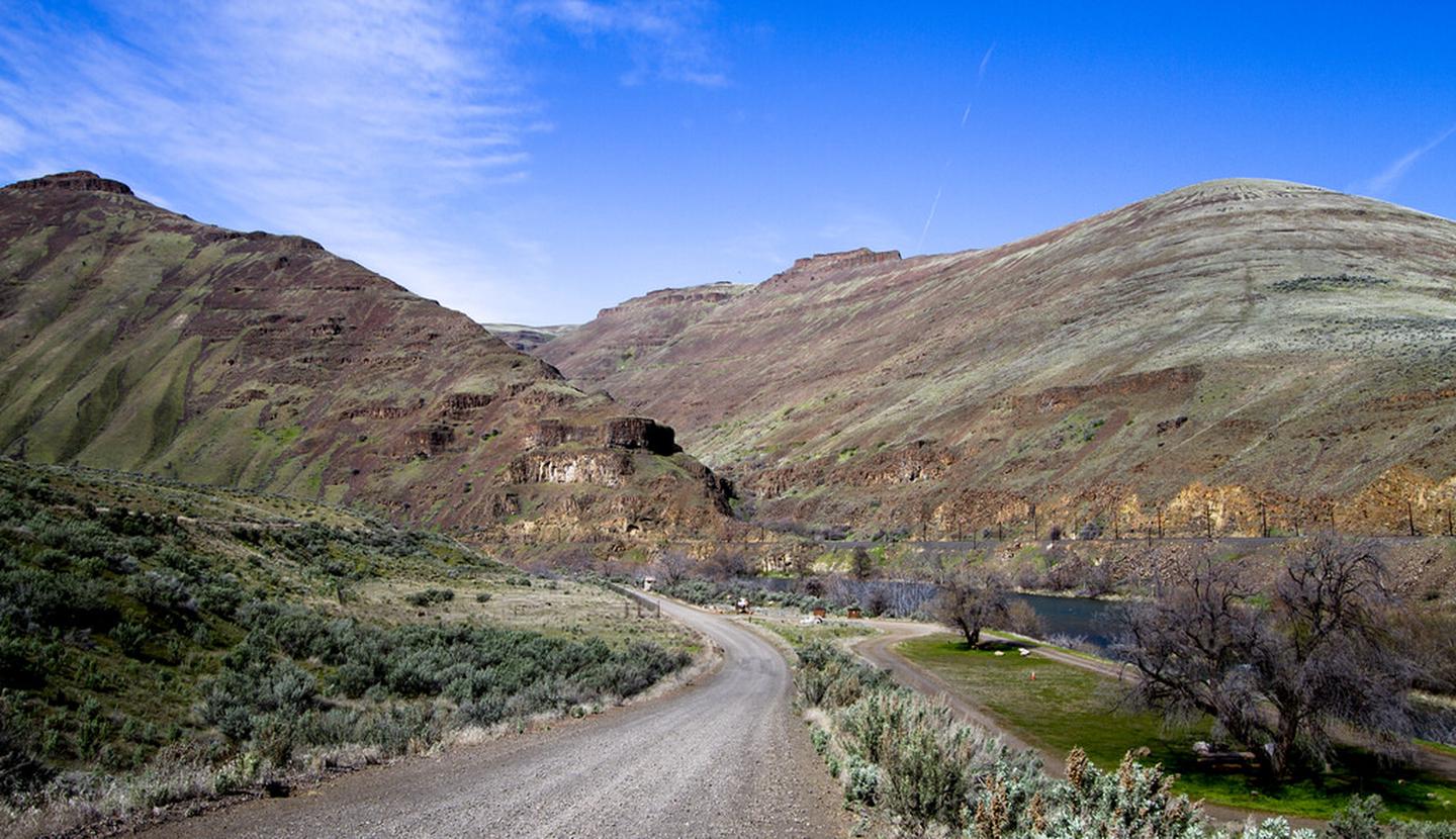
Spanning 32 miles along the east bank of the Lower Deschutes Wild and Scenic River, this back country byway offers close-up views of rapids and steep canyon country. Twelve paved miles originate from the hamlet of Maupin and connect to state highway 216 near Sherar’s Falls. The remainder of the byway is surfaced with high-standard gravel, suitable for passenger vehicles. Twenty-two developed recreation sites offer year-round river access including 4 boat launches, 7 day-use areas, and 10 campgrounds with 140 individual campsites and 21 group campsites. The byway terminates to the south at Locked Gate Day-Use Area and to the north at Macks Canyon Campground.
Know Before You Go:
- Cell phone service is limited or not available in most locations along the back country byway.
- Watch for bicyclists: portion of the paved section of road is a segment of Sherar's Falls Scenic Bikeway
-
Boater Passes are required year-round, for both day and overnight use, for anyone using a watercraft or any other floating device as a means of transport on the Lower Deschutes River. See the Boater Pass link elsewhere on this page for further information.
-
-
Developed recreation sites along the back country byway are available on a first-come, first-served basis.
- Locked Gate Day-Use Area
- Nena Day-Use Area
- Devil's Canyon Campground
- Long Bend Campground
- Harpham Flat Campground
- Wapinitia Day-Use Area
- Maupin Section Foreman House Historic Site
- Oasis Campground
- Grey Eagle Day-Use Area
- Blue Hole Campground
- Lower Blue Hole Day-Use Area
- Oak Springs Day-Use Area
- Surf City Day-Use Area
- White River Campground
- Sandy Beach Day-Use Area
- Buckhollow Day-Use Area
- Pine Tree Day-Use Area
- Twin Springs Campground
- Oakbrook Day-Use Area
- Jones Canyon Campground
- Beavertail Campground
- Rattlesnake Canyon Campground
- Macks Canyon Campground
Recreation and Cultural Sites South of Maupin, Oregon (ordered south to north)
Recreation and Cultural Sites North of Maupin, Oregon (ordered south to north)
Point of Interest:
Much of the back country byway was a former railbed, one of two whose owners feverishly competed for completion in the early 19th century. Today, the historic Section Foreman's House remains alongside the road just south of Maupin. Open seasonally, the building is restored to historically-authentic condition and offers interpretive displays and general river information.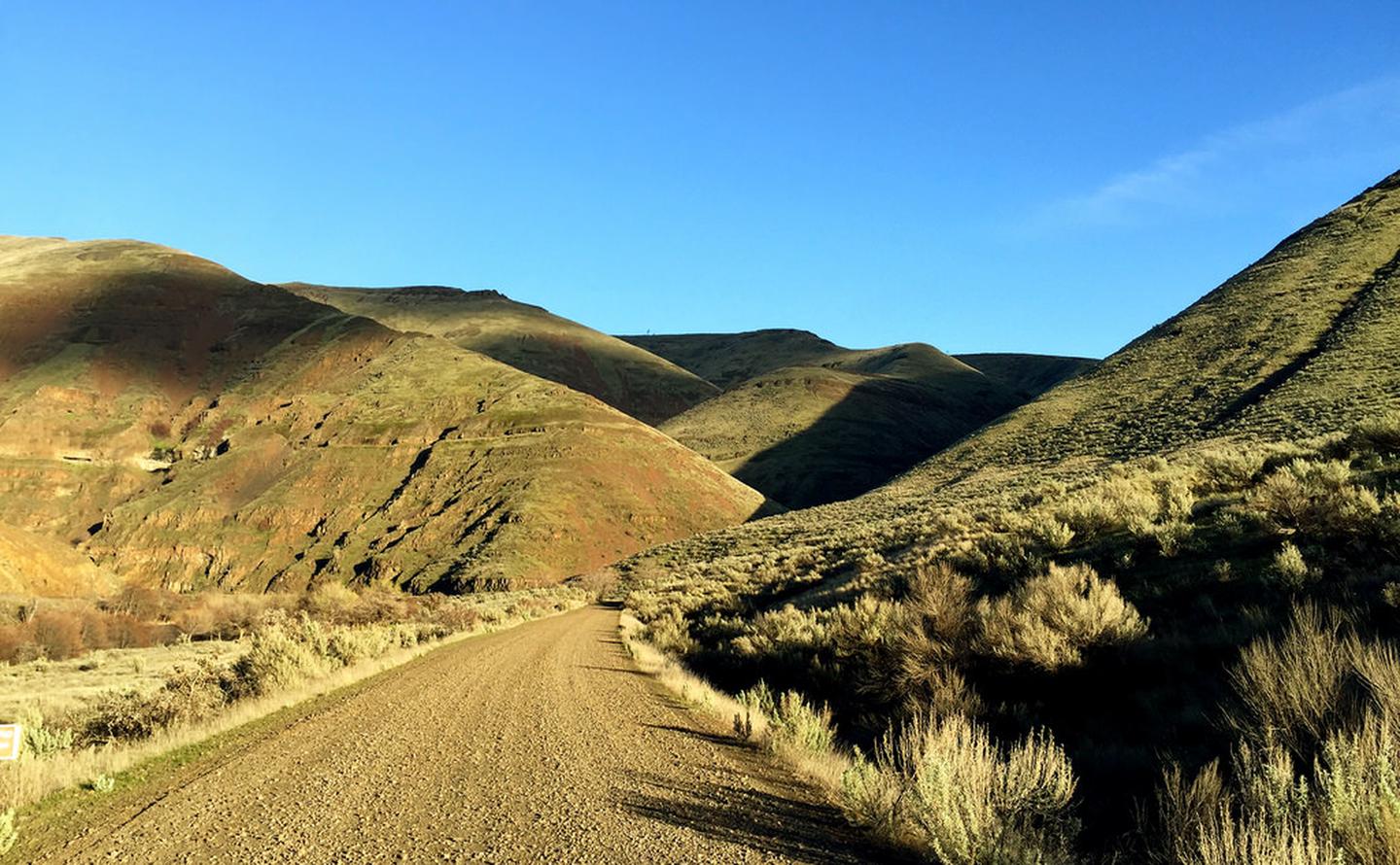
RecAreaDirections
From Maupin, Oregon: On the east side of the Deschutes River drive either direction on the Deschutes River Access road.
Open with Google MapMisc
| Stay Limit | 14 Days |
| Reservable | false |
| Keywords | |
| Map Link | |
| Contact Phone | |
| Contact Email |
Permits info
Facilities
Maupin Section Foreman House Historic Site Facility
The historic Maupin Section Foreman's House, known as the Depot House, is located 1/2 mile upriver from Maupin, Oregon on the east bank of the Lower Deschutes River. The house was constructed in 1910 by the Des Chutes Railroad Company, a subsidiary of the Union Pacific Railroad. It is a standard railroad design, commonly used at the time for housing in hot, arid climates. Designed with a wraparound porch, the Section Foreman could come home after a long day working in the hot temperatures of the canyon and relax under shade. On really hot nights, he could sleep outside as well. The property went into private ownership when the Des Chutes Railroad was abandoned in the I 930's. The BLM acquired the property in 1968. It was listed on the National Register of Historic Places on November 29, 2006, based on its association with railroad construction in the early I900's. The building was restored in the mid 2010s using the original Union Pacific color scheme.
Know Before You Go:
- The Maupin Section Foreman's House is unstaffed but visitors are welcome to visit the site.
- Visit other nearby BLM recreation sites along the adjacent 32-mile long Lower Deschutes River Back Country Byway
