
Arrowrock Reservoir
Arrowrock Reservoir is formed by Arrowrock Dam which is part of the Boise Project. The Reservoir is managed by the Boise National Forest, (Boise National Forest map). This 18 mile narrow canyon reservoir of 3,150-acres has limited access to 60 miles of shoreline. Boating, canoeing, windsurfing, and fishing are the major recreation activities at Arrowrock, located east of Boise. The reservoir is only 30 minutes from Boise and provides access to the city's nearest national forest. Fish species include rainbow trout, kokanee, yellow perch, whitefish, and the protected bull trout. Season open year-round. Reservoir acre feet and total reservoir capacity and cubic feet/second release rates for rivers below Boise & Payette River Basins reservoirs and select river locations are updated daily and graphically provided. Site offers: vault toilets, boat ramps and dock, parking, and dispersed camping.
RecAreaDirections
Follow Idaho 21 to Mores Creek Bridge, about 18 miles, then take the road to the right to Arrowrock Dam.
Open with Google MapMisc
| Stay Limit | |
| Reservable | false |
| Keywords | |
| Map Link | |
| Contact Phone | |
| Contact Email |
Permits info
Important Information
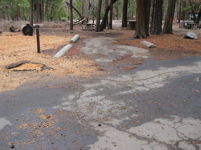
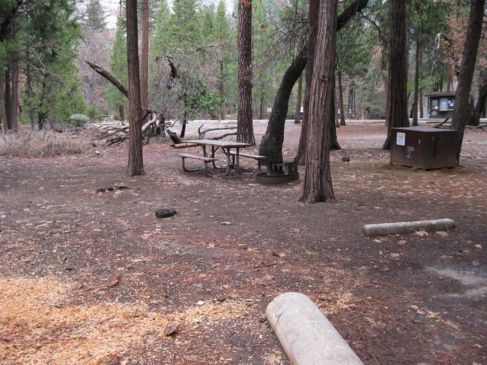
Non-motorized boat accessible, or two mile hike in. Has two bear boxes which can each accommodate one typically sized cooler. Do not bring more food than can fit in the bear boxes. This site has a fire grate which allows campfires unless restricted under high fire danger.
Facilities
no data available
