
Cheney Reservoir
Cheney Dam and Reservoir, features of the Wichita Project, are on the North Fork of the Ninnescah River about 6 miles north of Cheney and 24 miles west of Wichita, Kansas. The site is at the common intersection of the boundaries of Kingman, Reno, and Sedgwick counties with portions of the dam lying in all three. Nearest main highway, U.S. 54. Nearest major city, Wichita. The lake has approximately 9,500 water surface acres, 7,400 land acres and 67 miles of shoreline. Accessible from numerous roads. Several boat ramps, camping facilities. Predominate species include crappie, catfish, and striped bass. Current Reservoir Levels
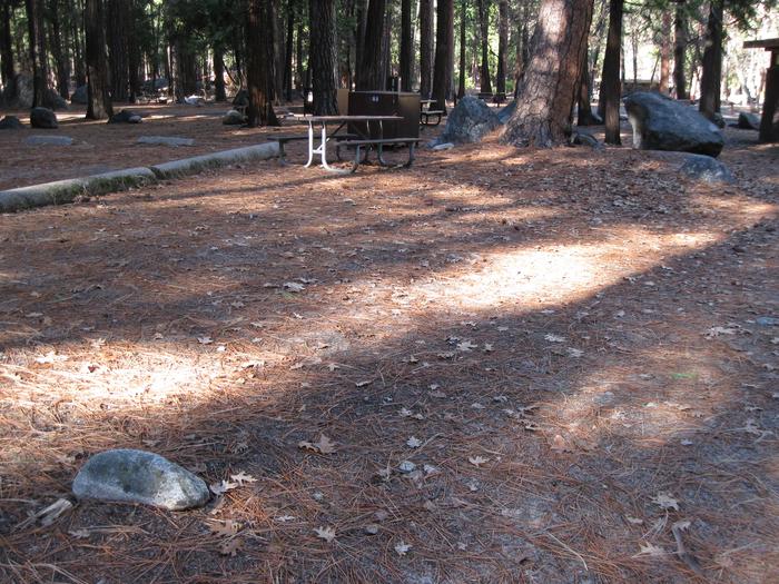
Campsite
Campsite 209
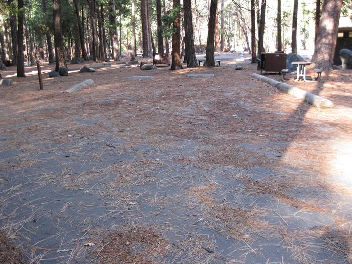
Parking Pad
Parking Pad 209
RecAreaDirections
From Wichita, take U.S.Highway 54 west to 251 north.
Open with Google MapMisc
| Stay Limit | |
| Reservable | false |
| Keywords | |
| Map Link | |
| Contact Phone | |
| Contact Email |
Permits info
Facilities
no data available
