
Apache Trail Historic Road
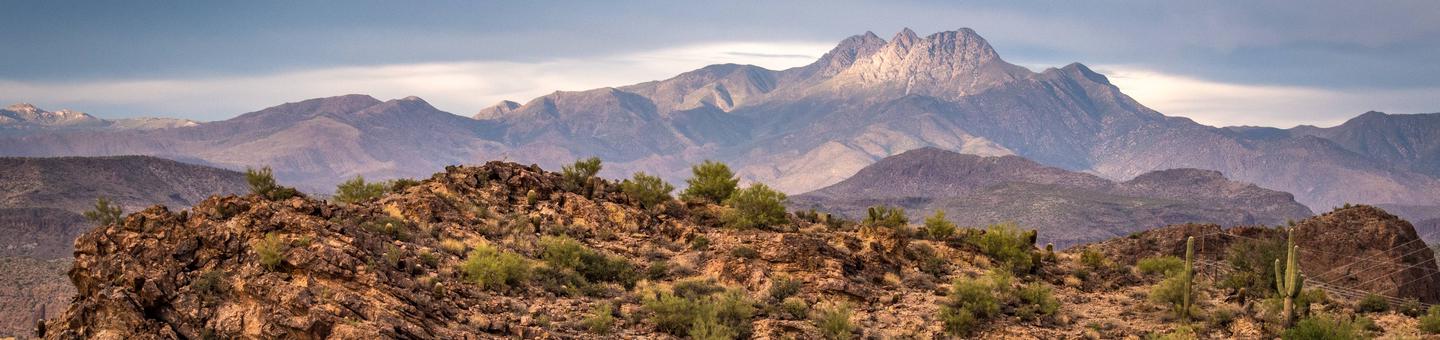
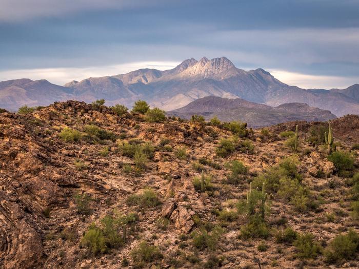
This historic road covers some of the most rugged terrain in Arizona. The land surrounding the road rises steeply to the north to form the Four Peaks Wilderness Area and to the south to form the Superstition Wilderness Area. Steep-sided canyons, rock outcroppings and magnificent geologic formations are all along the road. Water played a major role in creating the beauty of the area, and it also provides numerous opportunities for recreation. Fish Creek Canyon is perhaps the most awe-inspiring section. The road hangs on the side of this high-walled canyon and winds its way along tremendous precipices that sink sheer for hundreds of feet below.
RecAreaDirections
Navigating the Byway:
The road itself:
The Apache Trail Historic Road travels northeast from Apache
Junction on State Route 88 near the Salt River and ends once it
meets State Route 188.
How to get to the road:
From Phoenix, travel south on Interstate 10 and turn east on US
Route 60. At Apache Junction head north on State Route 88, the
Scenic Road.
Misc
| Stay Limit | |
| Reservable | false |
| Keywords | |
| Map Link | |
| Contact Phone | |
| Contact Email |
Permits info
Facilities
no data available
