
Arkansas Scenic 7 Byway
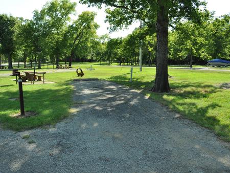
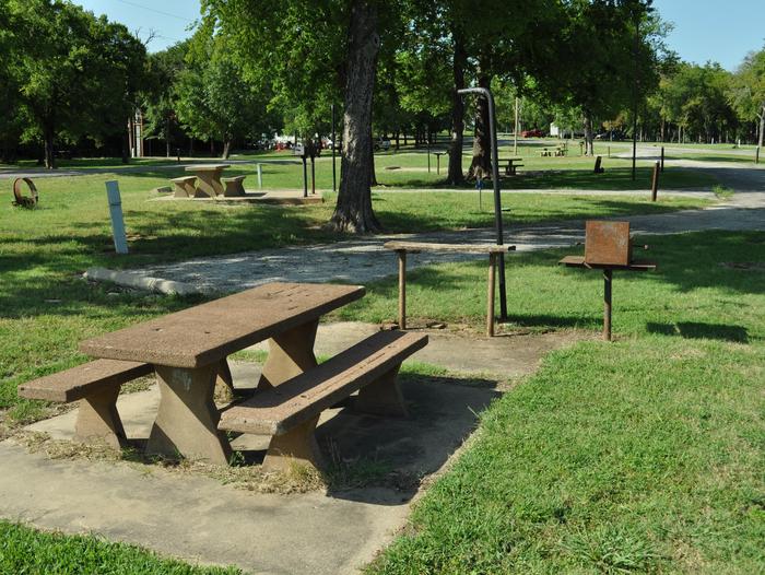
The "Scenic 7," Arkansas State Highway 7, runs from the Louisiana state line near El Dorado, Arkansas to Diamond City, Arkansas near the Missouri state line. Approximately 60 miles of the highway that passes through the Ozark and Ouachita National Forests has been designated by the US Forest Service as part of the National Forest Scenic Byways system. Distinctive mountain scenery and outstanding fall colors can be enjoyed while traveling through the Ouachita and Ozark Mountains on the Scenic 7 Byway. There are numerous recreation areas providing opportunities to camp, hike, mountain bike, canoe, and ride horses along or within a few miles of the highway.
Visit the interpretive trail at the site of the Hollis Civilian Conservation Corps (CCC) Camp or stop by the campground at South Fourche. These sites are located along Scenic 7 north of Jessieville. Along this stretch of highway you can also enjoy the Ouachita Trail, Iron Springs picnic and camping area, and the Jessieville CCC interpretive site.
RecAreaDirections
Navigating the Byway:
Driving the Byway
Arkansas Scenic 7 starts at the border of Louisiana and proceeds north. The National Forest Scenic Byway consists of the portion within the Ouachita National Forest. The state designated piece continues past the forest to end at the Missouri-Arkansas state border.
Open with Google MapMisc
| Stay Limit | |
| Reservable | false |
| Keywords | |
| Map Link | |
| Contact Phone | |
| Contact Email |
Permits info
Facilities
no data available
