
Carson Pass Highway (Route 88)
Stretching from the Sacramento Valley of California to the Carson Valley in Nevada, this 58-mile byway winds its way through the western slope of the Sierra Nevada, reaches the summit at Carson Pass, and ends up on the eastern slope of the Sierra Nevada.
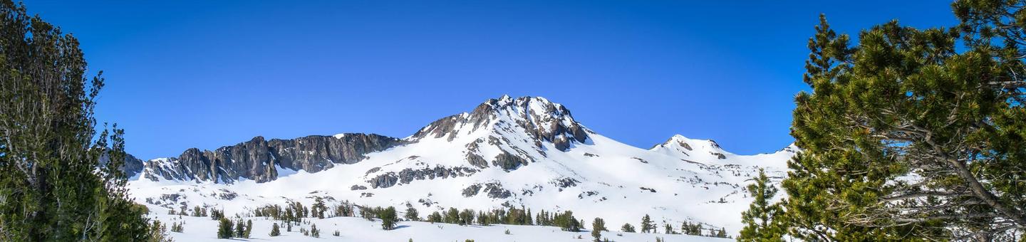
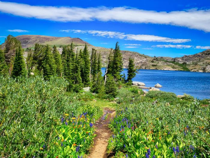
One of the most visually dramatic of the trans-Sierra highways in California, you will witness views of ragged volcanic skylines, cool green meadows, mountain lakes framed by timber-covered slopes, adventure-filled rock valleys, and distant mountain peaks.
Outdoor lovers can go camping, boating, or fishing at one of the many lakes and recreation areas along this route. Winter recreation is just as fantastic: try snowmobiling, sledding, cross-country or downhill skiing. Wilderness areas provide hikers and backpackers with opportunities to get close to nature and check out interpretive signage along the way.
RecAreaDirections
Navigating the Byway:
This byway starts at Dew Drop on Highway 88. Follow Highway 88 east to Woodfords. This byway is a well-marked and easy-to-travel route.
Open with Google MapMisc
| Stay Limit | |
| Reservable | false |
| Keywords | |
| Map Link | |
| Contact Phone | |
| Contact Email |
Permits info
Facilities
no data available
