
Cow Creek Tour Route
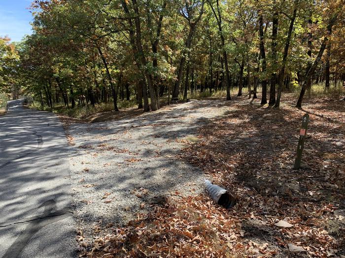
The Cow Creek Back Country Byway follows lower Cow Creek as it winds its way through the coastal mountains of southwestern Oregon. The road offers an alternate route for travelers from Interstate 5 by forming a loop that begins and ends at mileposts 80 (Glendale) and 103 (Riddle). Along the route are quaint farms and ranches, grand forests, large rock outcroppings, and beautiful spring waterfalls. Visitors may also spot mines and tailings that remain from the last operating nickel smelter in the continental United States, Glenbrook Nickel, which closed in 1998. The byway also follows the original Oregon and California railroad, constructed during the 1870’s. Two steel girder bridges built in 1905 are still in use today while Tunnel No.1, built in 1883, is still visible but no longer in use.
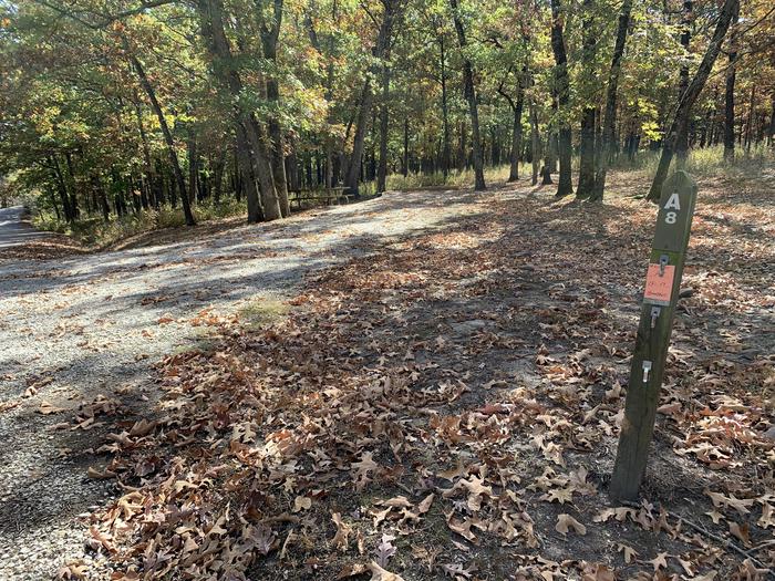
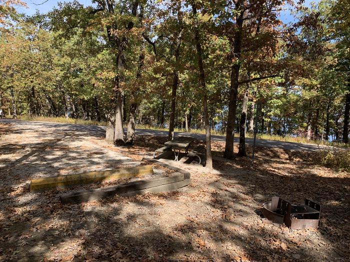
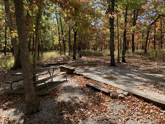
Depending on the season, you can see a plethora of wildflowers, the bright reds and yellows of autumn and spawning salmon and steelhead. An overnight campground, day-use/picnic area, interpretive stops and a recreational gold panning area afford travelers options to explore the history and beauty of the area at your own pace.
RecAreaDirections
Navigating the Byway:
The route starts at Exit 103, 21 miles south of Roseburg. The route loops toward the west and ends when it joins I-5 at Exit 80, 18 miles north of Grants Pass.
Open with Google MapMisc
| Stay Limit | |
| Reservable | false |
| Keywords | |
| Map Link | |
| Contact Phone | |
| Contact Email |
Permits info
Facilities
no data available
