
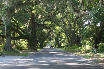
Edisto Island National Scenic Byway
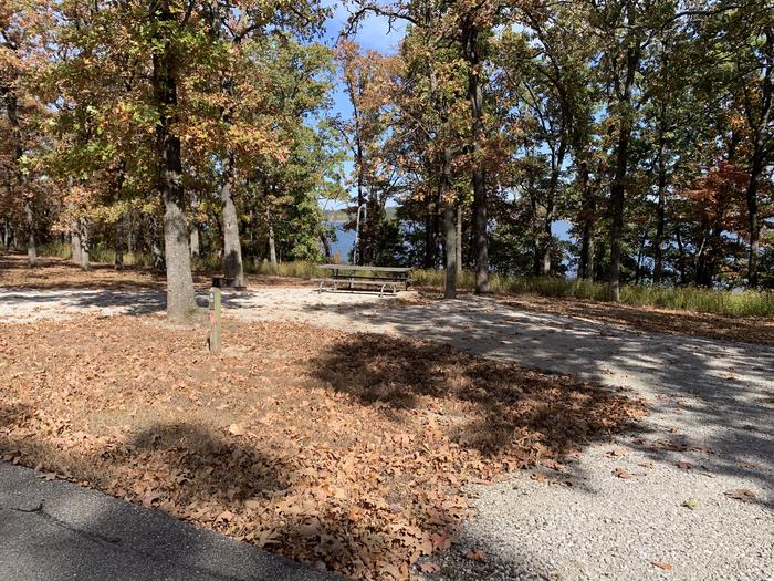
Drive the Edisto Island Scenic Byway and enjoy the peaceful barrier Edisto Island provides from the hectic 21st Century world of today. The route traverses salt marsh, creeks, maritime forests, farm fields and historic churches from the Intracoastal Waterway to the Atlantic Ocean. Stop at a roadside stand and buy a handmade sweetgrass basket, fill it with fresh local produce at a roadside market and fresh seafood dockside. Go for a picnic on the beach, keeping an eye out for dolphin and horseshoe crabs. Go shelling. But most of all, take your time and breathe deep: this “Edis-slow ramble” is a visual delight, with much that will soothe the spirit and awaken the senses.
Fill up your camera with memories of the exquisite landscape, like McKinley Washington Jr. Bridge, a photographers' favorite, or Dawhoo Landing. The wide array of greens and blues will create the perfect setting for your family portrait or Holiday card."
Enjoy real local flavor at any of the roadside stands along the byway. Local produce and products will entice even the most frugal of travelers with their distinct regional symbolism and influence. Pick out deliciously grown produce and take a piece of the byway with you.
At the end of the day spread out on Edisto Beach and feel the water caress during it's journey of life. Think back on your experiences and check out those great pictures! Make sure to come back soon! The byway is calling.
RecAreaDirections
Navigating the Byway:
* The byway starts at the McKinley
Washington, Jr., Bridge, about 6 miles from the intersection of SC 174 and SC 162.
* Follow SC 174 south to Edisto Beach for 17 miles.
* The byway ends at Edisto Beach, near the main entrance to Edisto State Beach State
Park and the intersection of SC 174 and Palmetto Blvd.
Misc
| Stay Limit | |
| Reservable | false |
| Keywords | |
| Map Link | |
| Contact Phone | |
| Contact Email |
Permits info
Facilities
no data available
