
Guanella Pass Road
This well-settled road leap-frogs the steep divide between the South Platte and Clear Creek watersheds, passing through a succession of distinct environments. The lower elevations are green and wet, with thick stands of spruce, fir, aspen, and pine rising along cascading creeks. Higher up, the streams snake through broad meadows, succoring thirsty mammals, nesting birds, and the industrious beaver, The road crests well above the timberline, where every spring the grasses and flowers stubbornly renew, and the fragile tundra thaws and blossoms.
RecAreaDirections
Navigating the Byway:
Take I-70 west of Denver to Exit 228 in Georgetown. Follow the signs from the Gateway Visitors Center. The byway follows first NM 381 and then NM 62 for 23 miles and ends in Grant.
Open with Google MapMisc
| Stay Limit | |
| Reservable | false |
| Keywords | |
| Map Link | |
| Contact Phone | |
| Contact Email |
Permits info
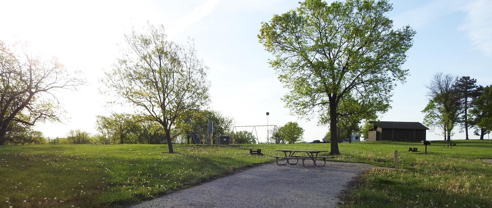
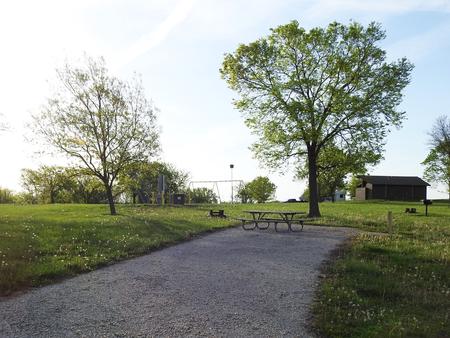
Facilities
no data available
