
Lewis and Clark Back Country Byway
Almost 200 years ago Meriwether Lewis and William Clark stood high on a ridge-line that divides the continental waters and began the discovery of the Pacific Northwest. Welcome to the homeland of Sacajawea.
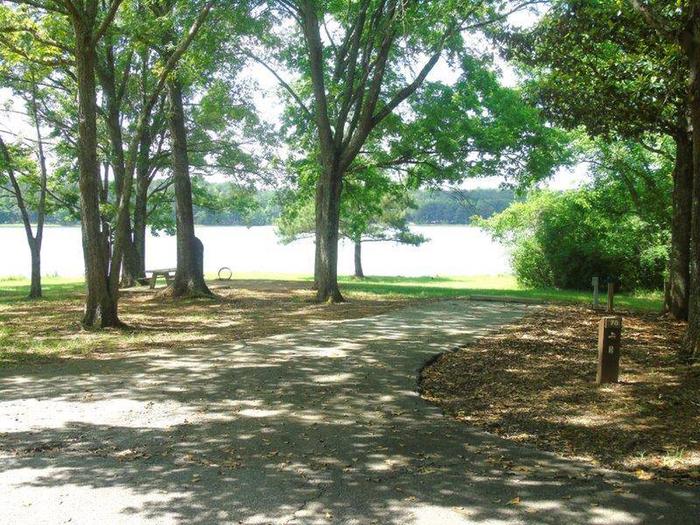
Stands of fir and pine trees, high-mountain meadows and rolling, jade-colored hills look much the same today as when the famous explorers journeyed to the crest of Lemhi Pass in 1805.
As you travel the Lewis and Clark Back Country Byway, you'll experience spectacular vistas overlooking the homeland of the Native American Shoshone. Gaze westward from Lemhi Pass upon the immense Salmon River and Rocky and Lost River mountain ranges. The pine and fir forests, deep canyons, and rolling foothills look much the same today as when the Lewis and Clark Expedition crossed Lemhi Pass two centuries ago.
RecAreaDirections
Navigating the Byway:
The byway begins just east of the Tendoy Store intersection, about 20 miles south of Salmon, ID, along Highway 28. At 3.5 miles, turn right on the Warm Springs Wood Road to start the ascent along the byway into the Bitterroot Range. At 23 miles the byway loops back, heading west along Agency Creek Canyon before ending back at Tendoy.
For a tour guide brochure go to: “The Lewis and Clark Backcountry Byway and Adventure Road Brochure” at: http://www.blm.gov/id/st/en/info/publications.2.html
Misc
| Stay Limit | |
| Reservable | false |
| Keywords | |
| Map Link | |
| Contact Phone | |
| Contact Email |
Permits info
Facilities
no data available
