
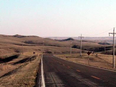
Native American Scenic Byway
The byway crosses the reservations of four tribes of Lakota Sioux: Crow Creek, Lower Brule, Cheyenne River, and Standing Rock. Its many memorial markers, monuments, museums, and sacred sites commemorate the heritage of the Sioux Nation and help you hear history from the Native American point of view.
RecAreaDirections
Getting to the Byway:
Bismarck, ND
* Take Memorial Hwy. west to Mandan.
* Follow ND-1806 south to Standing Rock Indian Reservation where the byway begins.
Sioux Falls, SD
* Take I-90 west to Main St. in Chamberlain.
* Drive north on Main St. into town where the byway begins.
Navigating the Byway:
###Native American Scenic Byway - SD###
This route begins on Interstate 90 near Exit 265. Simply cross the Missouri River at Chamberlain-Oacoma and follow the signs along the byway to learn more about this area. For example, in the South Dakota state capital city of Pierre, you can find the visitors information center located near the waterfront and receive information about the byway.
####From Chamberlain to Fort Pierre####
* Begin on I-90 near Chamberlain and continue across the Missouri River to Oacoma.
* At Oacoma, take the I-90 Loop to South Dakota (SD) 50.
* Follow SD 50 to BIA 4 and continue on BIA 4 to Fort Thompson.
* From Fort Thompson, take SD 47 to BIA 5 and proceed on BIA 5 to Lower Brule.
* Proceed on BIA 10 to SD 1806, and then continue on SD 1806 to US Highway 83 at Fort Pierre.
####Fischer's Lilly Park Spur####
* Follow US 83 north until you reach the junction of Route 1806.
* A 2.5 mile connecting spur along Route 1806 will take
you to Fort Pierre Chouteau.
####From Fort Pierre Chouteau to North Dakota####
* Return down Route 1806 to Fort Pierre, then turn right onto US Route 14.
* Continue for 38 miles to the junction of SD Route 63, and
turn right.
* Travel north along Route 63 for 46 miles until you reach the junction of Highway 212.
* Turn right onto Highway 212, and continue for 43 miles. You will pass through the towns of Eagle Butte, Parade, Ridgeview, and La Plant.
* Turn left onto BIA Route 7 and continue north for 30 miles.
* Turn right onto BIA Route 4 and continue for eight miles to the junction of SD Route 20.
* Turn right onto SD Route 20 and continue for six miles to the junction of Highway 12.
* Turn right onto Highway 12, and continue for three miles to the junction of Route 1806.
* Turn left onto Route 1806 and continue for 31 miles to the border of South Dakota, where the byway ends.
###Native American Scenic Byway - ND###
The Native American Scenic Byway - North Dakota is found in Sioux County, south-central North Dakota. The corridor lies entirely within the boundaries of the Standing Rock Indian Reservation, and follows the Missouri River.
* The North Dakota section of the byway begins at the ND/SD border, heading north on Route 1806.
* Just before Fort Yates, Route 1806 intersects with Route 24. At this intersection, get off Route 1806 and continue north on Route 24.
* Continue through Fort Yates.
* Just before the town of Cannonball, Route 24 again intersects with Route 1806. Get back on Route 1806 heading north.
* Continue on Route 1806 through Cannonball.
* The north edge of Standing Rock Indian Reservation marks the northernmost end of the byway.
Misc
| Stay Limit | |
| Reservable | false |
| Keywords | |
| Map Link | |
| Contact Phone | |
| Contact Email |
Permits info
Facilities
no data available
