
Valles Caldera National Preserve
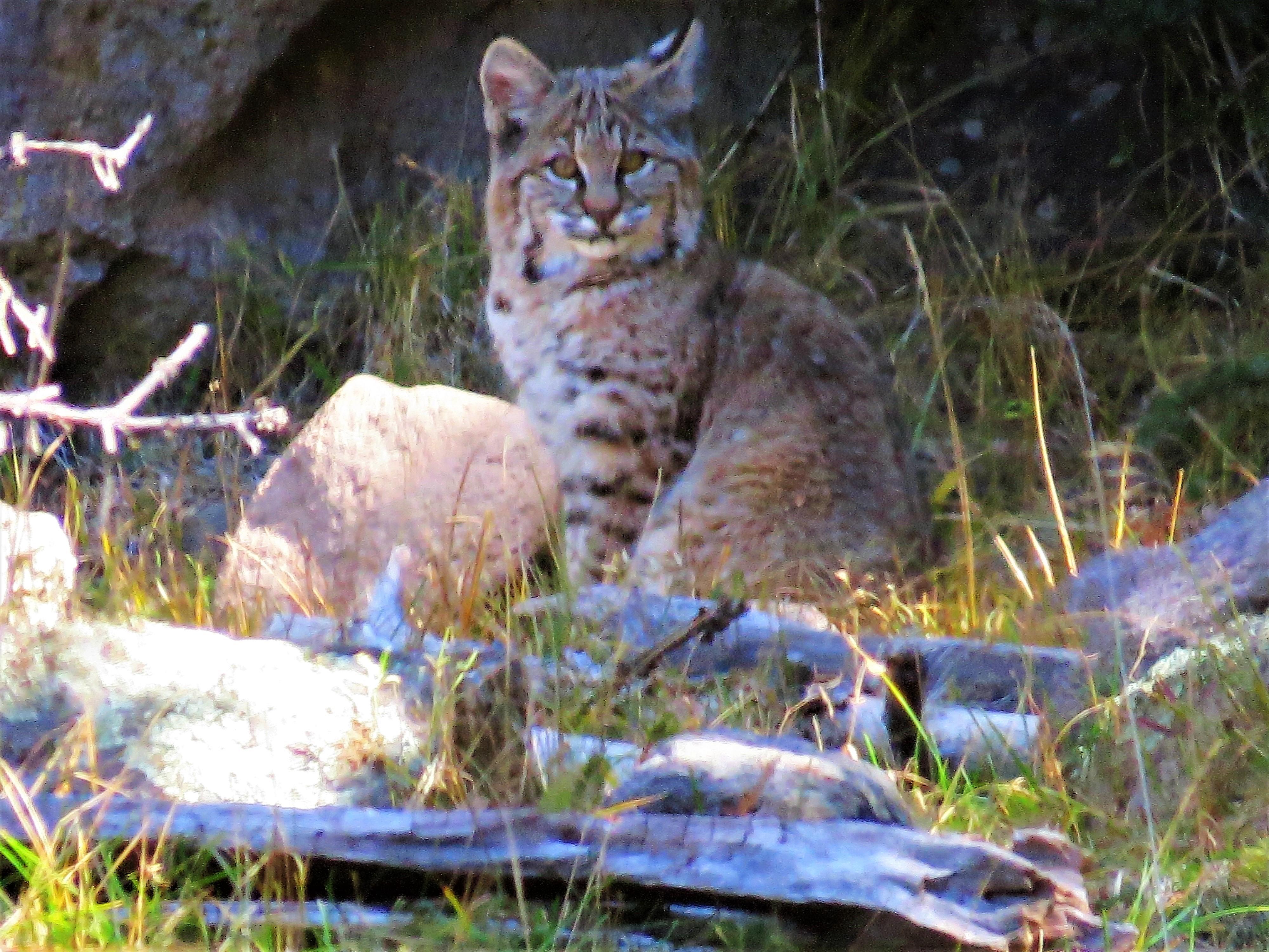
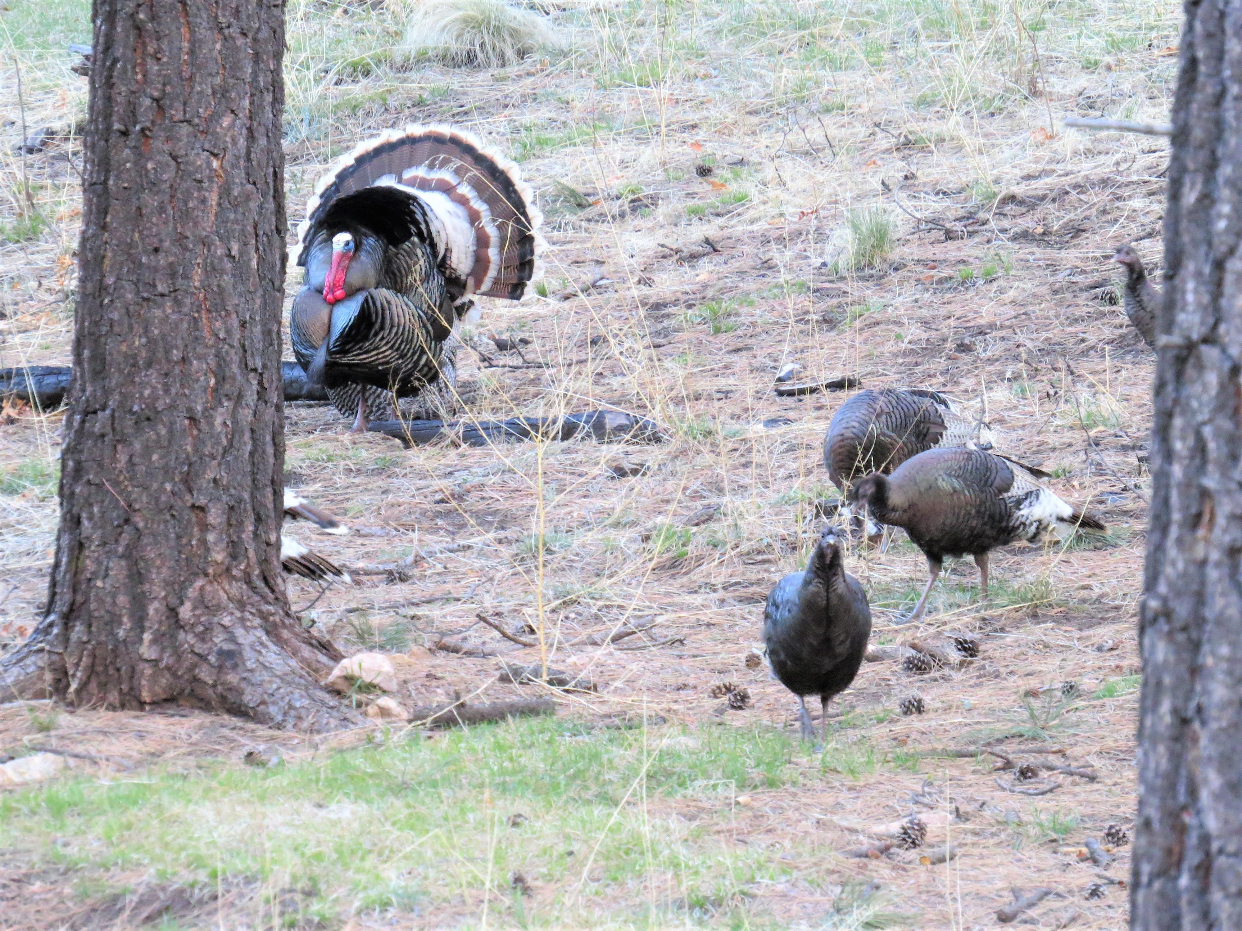
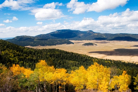
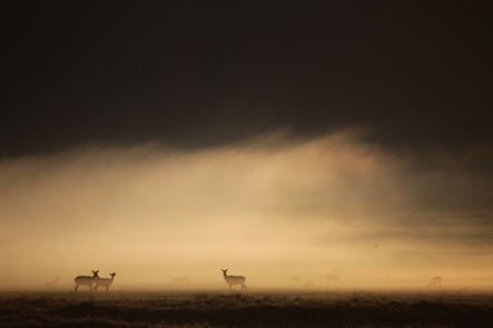
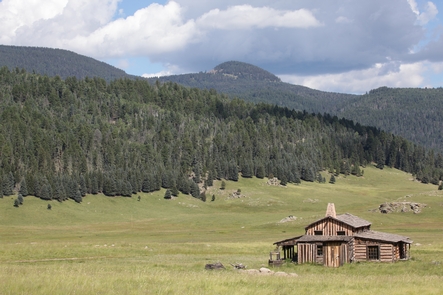
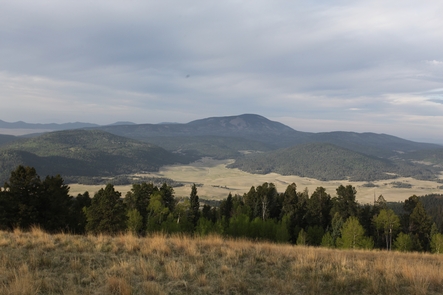
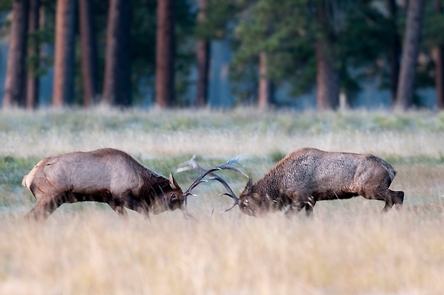
About 1.25 million years ago, a spectacular volcanic eruption created the 13-mile wide circular depression now known as the Valles Caldera. The preserve is known for its huge mountain meadows, abundant wildlife, and meandering streams. The area also preserves the homeland of ancestral native peoples and embraces a rich ranching history.
RecAreaDirections
From Jemez Springs, NM: Follow NM-4 north. The Preserve is about 22 miles from Jemez Springs. Look for the Main Gate and signs at Mile Marker 39.2.
From Los Alamos, NM: Take Trinity Drive to Diamond. Take a left on Diamond, then a right on West Jemez Road to the intersection with NM-4. Take a right [away from Bandelier National Monument], following the highway up and into the Jemez Mountains. The Preserve is 18 miles up NM-4 from Los Alamos. Look for the Main Gate and signs at Mile Marker 39.2.
Open with Google MapMisc
| Stay Limit | |
| Reservable | false |
| Keywords | |
| Map Link | |
| Contact Phone | |
| Contact Email |
Permits info
Facilities
Ranger Station Visitor Center
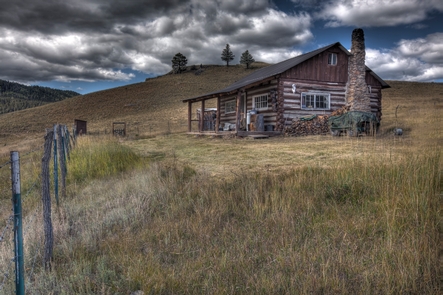
Located on the edge of the historic cabin district, the log cabin has basic exhibits and a sales area offering park-related clothing, gifts, books, and a few snacks and beverages. The building is NOT accessible and there are NO public restrooms in this building.
Entrance Station Facility
The Entrance Station is your first stop in Valles Caldera National Preserve. Rangers are available to answer questions, issue backcountry vehicle permits, and issue fishing permits. Preserve-related items are for sale. Two accessible, unisex, vault-toilet restrooms are available across the parking lot.
