
Ice Age Floods National Geologic Trail
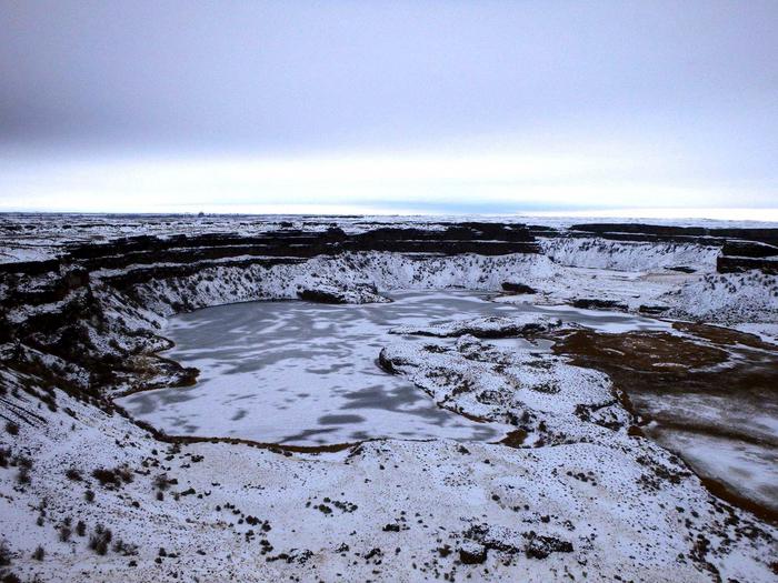
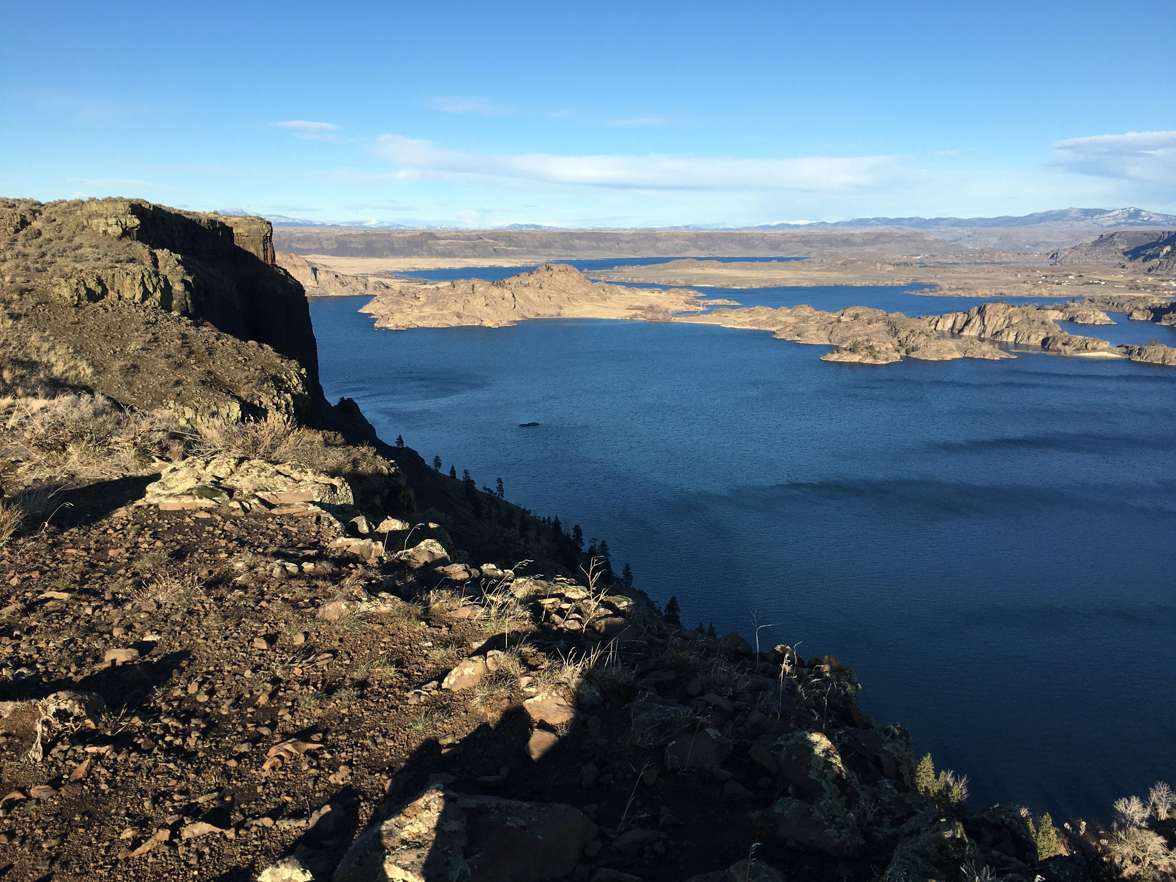
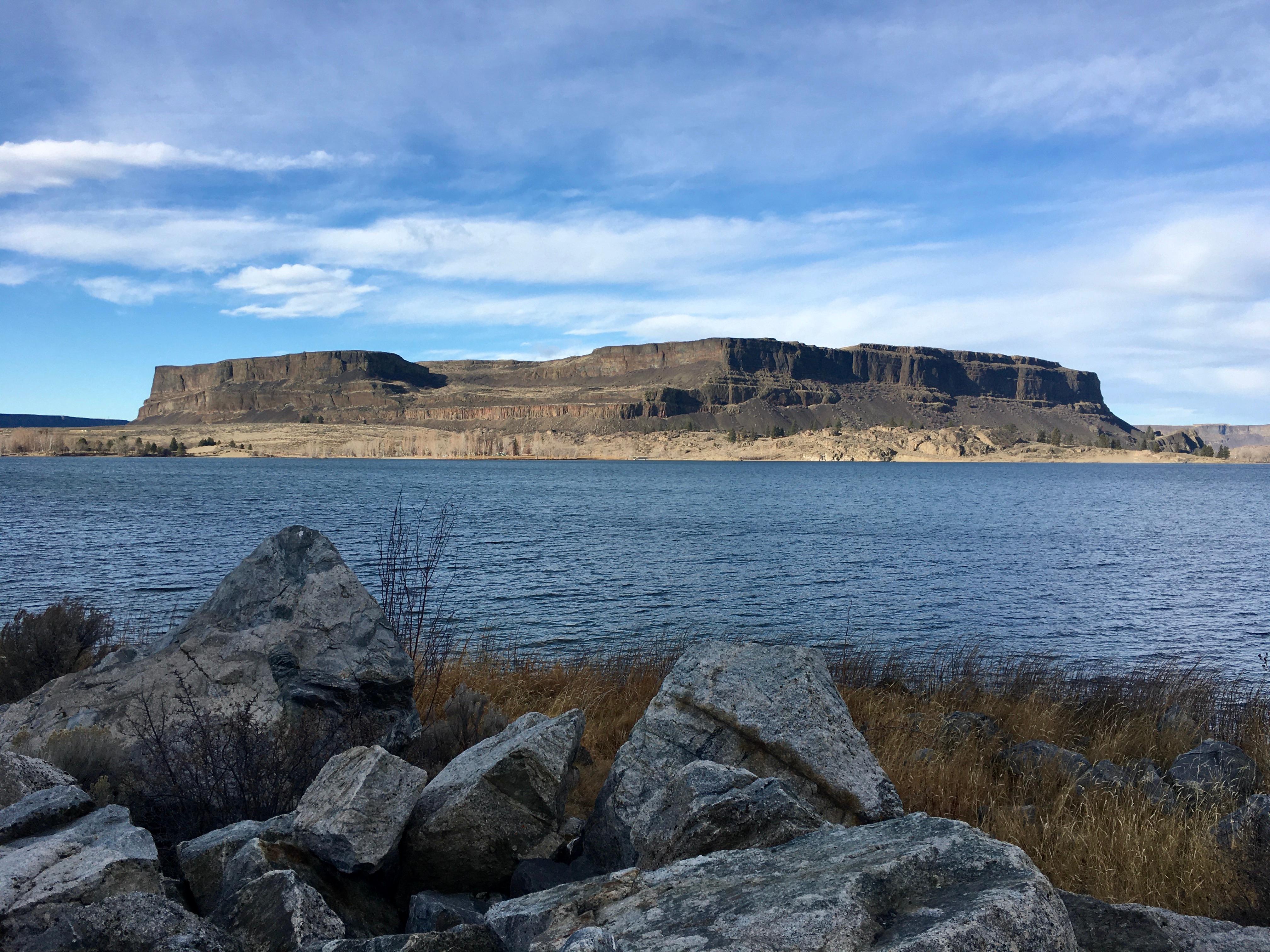
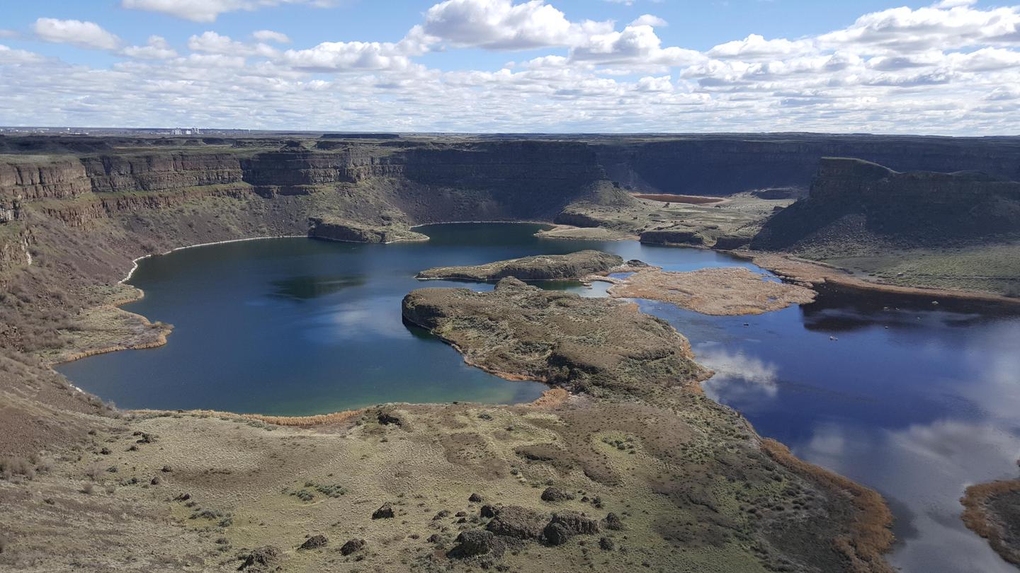
At the end of the last Ice Age, 18,000 to 15,000 years ago, an ice dam in northern Idaho created glacial Lake Missoula stretching 3,000 square miles around Missoula, Montana. The dam burst and released flood waters across Washington, down the Columbia River into Oregon before reaching the Pacific ocean. The Ice Age Floods forever changed the lives and landscape of the Pacific Northwest.
RecAreaDirections
To Trail Headquarters from Spokane
Take I-90 West At Exit 277, merge onto US-2 toward Davenport/Fairchild AFB/Spokane Airport Just past Wilbur, turn right onto WA-21 Stay left onto Highway 174 Turn right onto WA-155 Stay on WA-155 past Grand Coulee Dam and into the town of Coulee Dam Cross the Columbia River and continue on WA-155 Turn right onto Crest Drive and follow up the hill. The HQ Office is located on the left
Open with Google MapMisc
| Stay Limit | |
| Reservable | false |
| Keywords | |
| Map Link | |
| Contact Phone | |
| Contact Email |
Permits info
Facilities
Fort Spokane Visitor Center and Museum Visitor Center
4/30/2020 During COVID 19 Fort Spokane Visitor Center will remain closed until further notice. Fort Spokane Visitor Center and Museum are the former guardhouse, located in the middle of historic Fort Spokane. The visitor center and museum are open seasonally, from Memorial Day to Labor Day of each year. The visitor center and museum may be opened upon request the rest of the year.
