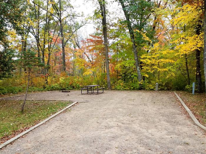
Upper Dickey Lake Trail
Upper Dickey Lake Trail runs westward about 6 miles, up the southern side of the Middle Fork of the Gulkana River, providing access to Dickey Lake. It is accessed by following Swede Lake Trail and then crossing the river. The majority of this trail lies within the Gulkana National Wild River corridor as well as the Tangle Lakes Archaeological District (TLAD) and users are required to stay on the designated trail. There is an undeveloped camp site at the trail end near Dickey Lake. The first sections of this trail are extremely wet and boggy. The trail begins to dry out at mile 2 and stays fairly dry until the end. Please stay on designated trails, which are marked with green dotted signs. Red dotted signs within the TLAD are not open to motorized use, unless 6 inches of frozen ground or 12 inches of snow cover are present. This trail is recommended for motorized use due to wet sections near the start of the trail. Trail is 6 miles long.

RecAreaDirections
Open with Google Map
Misc
| Stay Limit | |
| Reservable | false |
| Keywords | |
| Map Link | |
| Contact Phone | |
| Contact Email |
Permits info
Facilities
no data available

 CuteCamper
