
Eagle Peak Wilderness Study Area
The Eagle Peak WSA is located in western New Mexico. It is characterized by rolling topography and broken by sandstone and basalt mesas and canyons. Volcanic features include large cinder cones and lava flows. Vegetation consists of grassland and piсon-juniper woodland.
RecAreaDirections
From Highway 60, drive approximately 20 miles west of Quemado to County Road A7/McKinley Ranch Road. Highway road signs at the intersection indicate a road to the town of Luna (County Road B7) to the south. Turn north (right) on County Road A7/McKinley Ranch Road which is immediately opposite of the road to Luna and drive north for approximately 2.8 miles. From this point, the WSA will be on your right for approximately 1.2 miles.
Open with Google MapMisc
| Stay Limit | |
| Reservable | false |
| Keywords | |
| Map Link | |
| Contact Phone | |
| Contact Email |
Permits info
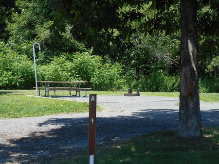
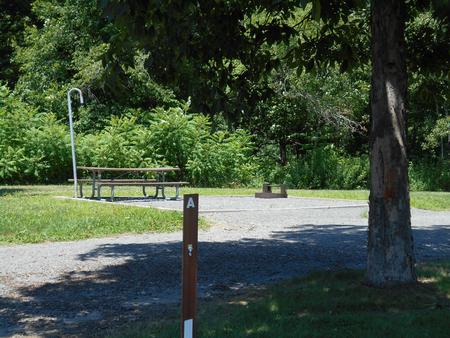
Facilities
no data available
