
Oregon, Mormon Pioneer, California & Pony Express National Historic Trails Corridor
Four National Historic Trails (NHTs), the Oregon, Mormon Pioneer, California, and Pony Express, share the same corridor through central Wyoming known as the South Pass region. This portion of the trail corridor has special significance because it contains many miles of well-preserved trail and numerous nationally recognized sites. In addition, the landscape surrounding this segment looks virtually the same as it did 150 years ago when the first emigrants passed through the area.
The trails facilitated a major part of the westward expansion of the United States during the 19th century and area a major part of the colorful history of the Rocky Mountain west.
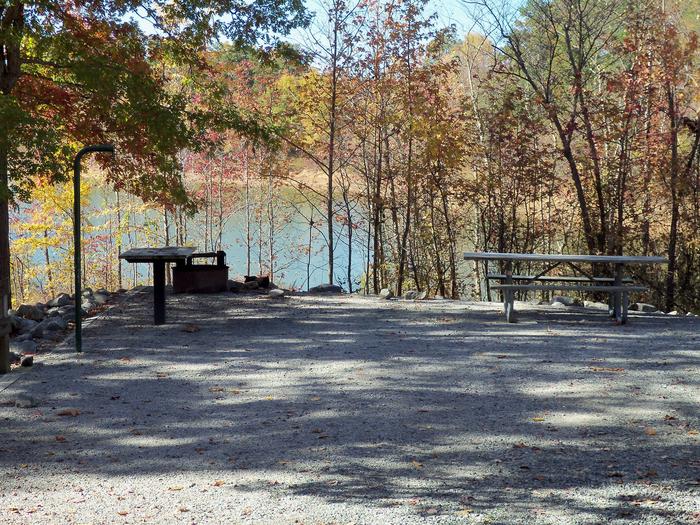
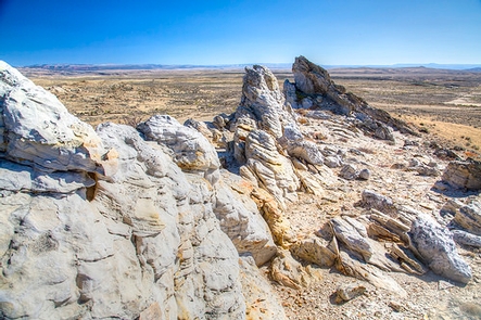
Important historical sites along the trail include Independence Rock, Devil's Gate, Split Rock, Ice Slough, Rocky Ridge, Willie's Handcart Disaster Site, South Pass and Parting of the Ways. In addition to the above, there are numerous state stops, telegraph stations, military posts and river crossings that played an important role in the history of the trails. Highway turnouts near many of the sites contain interpretive markers and provide excellent vantage points from which to view the trail corridor and the surrounding countryside.
While much of the NHT corridor in Wyoming is undisturbed, some portions have been improved and are now two-track or graded roads. Other portions have been obliterated by highway construction. However, visible trail remnants can be seen from Independence Rock to Farson, Wyoming.
RecAreaDirections
There are several ways to view the trail. Three highways traverse the segment's corridor. Highway 220 follows the corridor from Independence Rock to Muddy Gap Junction, Highway 287 follows it from Muddy Gap to Sweetwater Station, and Highway 28 parallels the segment from its crossing of South Pass to its end at Farson. In some places these highways cross the actual trails or closely follow them.
Open with Google MapMisc
| Stay Limit | |
| Reservable | false |
| Keywords | |
| Map Link | |
| Contact Phone | |
| Contact Email |
Permits info
Facilities
Devil's Gate Interpretive Site Facility
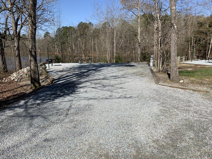
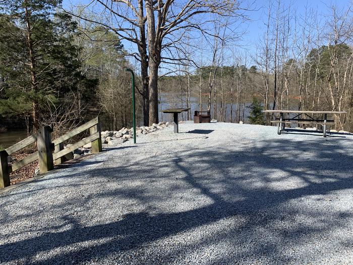
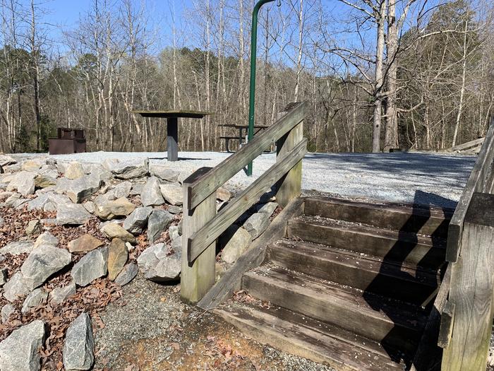
This remarkable cleft in the east end of the Sweetwater Rocks drew diary comments from many pioneers. Many walked and waded in the Sweetwater River through the gorge while their wagons followed the trail through the pass to the east, a route now followed by an access road to the historic Sun Ranch. A BLM interpretive site is located just south of the Gate giving details of the long and colorful history of the area. The hard-surfaced interpretive trail is ADA accessible. There are restrooms and trash collection.
Split Rock Interpretive Site Facility
As the dominant landmark of the Sweetwater Valley, the unmistakable "gun sight" notch in the summit of Split Rock aimed the emigrants directly at Great South Pass, still more than 75 miles to the west. A BLM interpretive site is at this location.
A second highway turn-out a few miles west offers a better (although reverse) view of the "split" and also a look at the Old Castle, a smaller landmark south of the Trail and highway.
The site has restrooms, trash collection and the hard-surfaced interpretive trail is ADA accessible.
South Pass Summit Facility
Location of the South Pass along the Continental Divide. This broad pass, the highest point on the trail, is at the summit of an almost imperceptible approach to the Continental Divide and was the key to the entire trail system. Every emigrant wagon train and handcart company that went westward rolled through this Pass. No other path offered a dependable supply of grass and water plus an easy grade to and through the mountains. This is a fee-free site. This site is ADA accessible.
