
Ferris Mountains
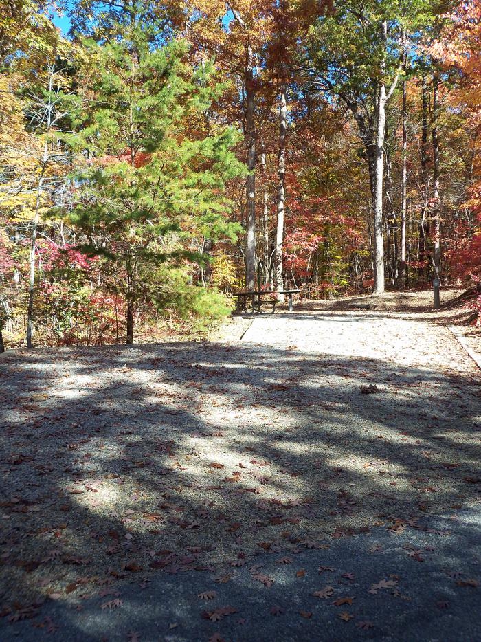
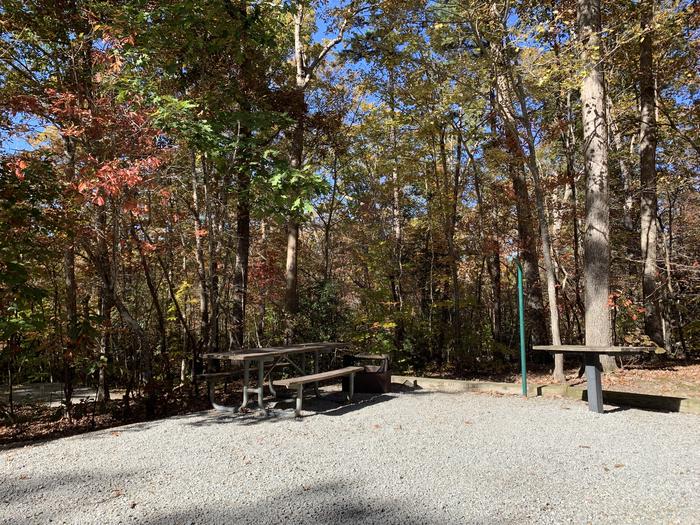
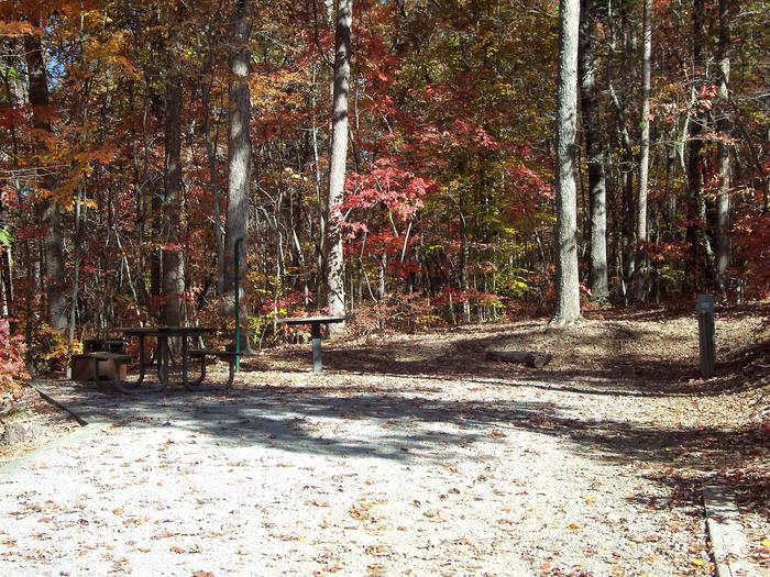
The Ferris Mountains WSA encompasses 22,245 acres of BLM-administered land and one private inholding of 160 acres. The study area is steep and rugged, providing unusual and spectacular scenery. Ferris Peak is the highest point in the Great Divide Basin at 10,037 feet and rises some 3,000 feet from the valley floor. Large stands of Douglas fir, interspersed with grassy parks create an alpine setting. The Ferris Mountains WSA, in combination with its relatively large size, diversity and ruggedness, contains outstanding opportunities for a primitive and unconfined type of recreation. The WSA?s ridges, canyons, valleys and meadows offer outstanding opportunities for hiking, hunting, camping and backpacking, A climb to Ferris Peak offers an exceptional hiking experience, where visitors must pick their own routes because there are no trails to the top. Hunting within the WSA is considered exceptional and the scenic values are unique to the region.


RecAreaDirections
From Rawlins, head north on US 287 42 miles to WY 220E. Take WY 220E 8 miles to CR 499. Go two miles to the Cherry Creek road and turn right. Take the Cherry Creek Road about 8 miles to a field to park.
Open with Google MapMisc
| Stay Limit | |
| Reservable | false |
| Keywords | |
| Map Link | |
| Contact Phone | |
| Contact Email |
Permits info
Facilities
no data available
