
Keysville Special Recreation Management Area
Overview
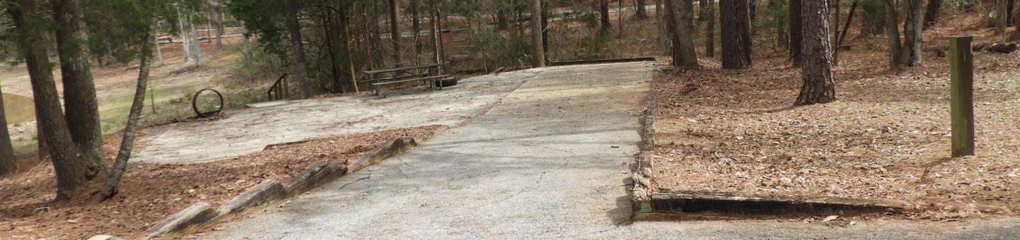
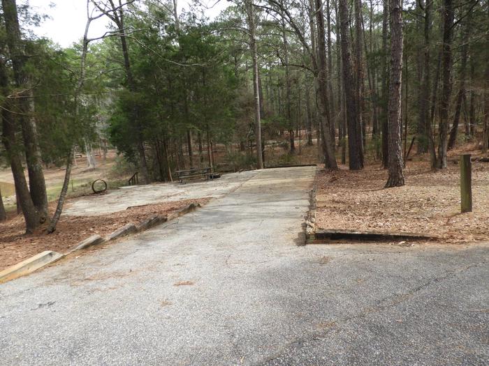
Keysville (formerly Keyesville) is a historic mining area that offers a wide variety of recreational opportunities. Set in rolling terrain amidst a blue oak and foothill pine woodland, Keysville is dissected by the lower Kern River. A little exploration can turn up a wealth of historic resources, including a variety of mining structures and features, a historic fort, and the famous Walker Cabin. Keysville offers commercial and noncommercial white-water rafting opportunities as well as fishing, recreational gold panning, and dispersed camping. A network of over seventy miles of trails provides for mountain biking, equestrian, and motorized recreation use.
All motorized use is limited to designated roads and trails. For a map of Keysville area designated routes, see https://www.blm.gov/documents/california/public-room/map/keysville-recreation-management-area.
Attention: Swimming in the area is discouraged. Use extreme caution around the river's edge and ALWAYS use a life jacket when boating.
Last Updated 6/15/2020
RecAreaDirections
From the junction of CA-178 and CA-155 at the town of Lake Isabella, take exit 155 onto CA-155. Keysville South entrance (for camping and river access) is approximately 0.6 miles from this junction on the left (west) side of the road befpor crossing the Kern River. Keysville North entrance (for camping, OHV, and other trail use) is on the left another 0.4 miles down highway 155, just past the bridge across the Kern River.
Open with Google MapMisc
| Stay Limit | 14 days in any 30 day period, 28 days in a calendar year |
| Reservable | false |
| Keywords | |
| Map Link | |
| Contact Phone | |
| Contact Email |
Permits info
Facilities
no data available
