
Owyhee River Wilderness Area
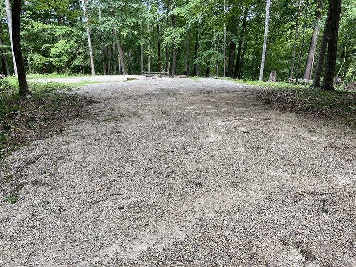
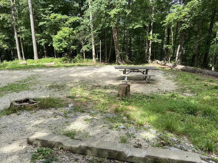
BLM manages more than 267,000 acres of public lands in the Owyhee River Wilderness. The Owyhee Canyonlands is a huge and remote area of eastern Oregon, southwestern Idaho and northern Nevada. Hidden within this vast high desert plateau are deep canyons carved by the Owyhee, Bruneau and Jarbidge Rivers. The rivers of the Owyhee and Bruneau-Jarbidge systems offer something for nearly every level of boating experience. The Owyhee and Bruneau-Jarbidge river systems provide visitors with unsurpassed solitude in canyons of unique beauty and form. From placid pools to turbulent whitewater; from vertical cliffs to steep grassy slopes; and from wildlife, such as California bighorn sheep to wildflowers, including the Bruneau River flox, these rivers and their canyons present visitors with challenging and extraordinary experiences.
RecAreaDirections
From Bruneau, Idaho head south on highway 51 to Duck Valley Indian Reservation on the Idaho/Nevada State Line. A quarter mile south of the gas station and grocery store take Boney Lane. Stay on Boney Lane onto the 45 Ranch Road to either Crutchers Crossing marked by East Fork Owyhee signs or the 45 Ranch marked by East Fork Owyhee signs. This wilderness is very remote and the access vehicle roads can be difficult for even high clearance four wheel drive vehicles. The travel time one way is about 4-5 hours from Bruneau. Additional maps and emergency supplies including filling up gas tank in Duck Valley is recommended.
Open with Google MapMisc
| Stay Limit | |
| Reservable | false |
| Keywords | |
| Map Link | |
| Contact Phone | |
| Contact Email |
Permits info
Facilities
no data available
