
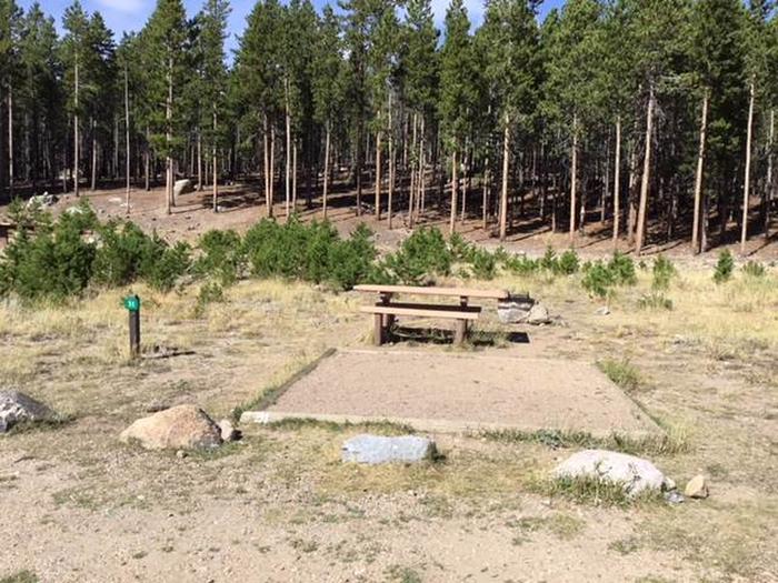
Maxwell National Wildlife Refuge
Located in the high central plains of northeastern New Mexico, Maxwell National Wildlife Refuge was established in 1965 as a feeding and resting area for migratory birds. Over 350 acres of the Refuge are planted with wheat, corn, barley, and alfalfa to provide food for resident and migratory wildlife. Visitors may see bald and golden eagles, falcons, hawks, sandhill cranes, ducks, white pelicans, burrowing owls, great horned owls, black-tailed prairie dogs, coyotes, mule deer, white-tailed deer, and the occasional elk.
RecAreaDirections
From Cimarron, NM (Colfax County)
Drive east on NM-58 to Interstate 25. Go north on I-25 and take the Maxwell Exit (426). Drive north 0.8 miles on State Highway 445. At the intersection of State Highways 445 and 505, drive 2.5 miles west. Turn north on Lake 13 Road at the refuge entrance sign and drive 1.25 miles to the refuge Visitor Center. The distance is 30 miles and the estimated driving time is 39 minutes. (To avoid the Interstate, an alternate route from Cimarron would be to drive north on US-64 to the intersection of State Highway 505 and US-64. Turn east on to State Highway 505, and drive 10 miles. Turn north on Lake 13 Road at the refuge entrance sign and drive 1.25 miles to the refuge visitor center. The distance is 23 miles and the estimated driving time is 29 minutes).
From Raton, NM (Colfax County)
Drive south on I-25 and take the Maxwell Exit (426). Drive north 0.8 miles on State Highway 445. At the intersection of State Highways 445 and 505, drive 2.5 miles west. Turn north on Lake 13 Road at the refuge entrance sign and drive 1.25 miles to the refuge visitor center. The distance is 28 miles and the estimated driving time is 26 minutes.
Open with Google MapMisc
| Stay Limit | |
| Reservable | false |
| Keywords | |
| Map Link | |
| Contact Phone | |
| Contact Email |
Permits info
Facilities
no data available
