
Sam D. Hamilton Noxubee National Wildlife Refuge
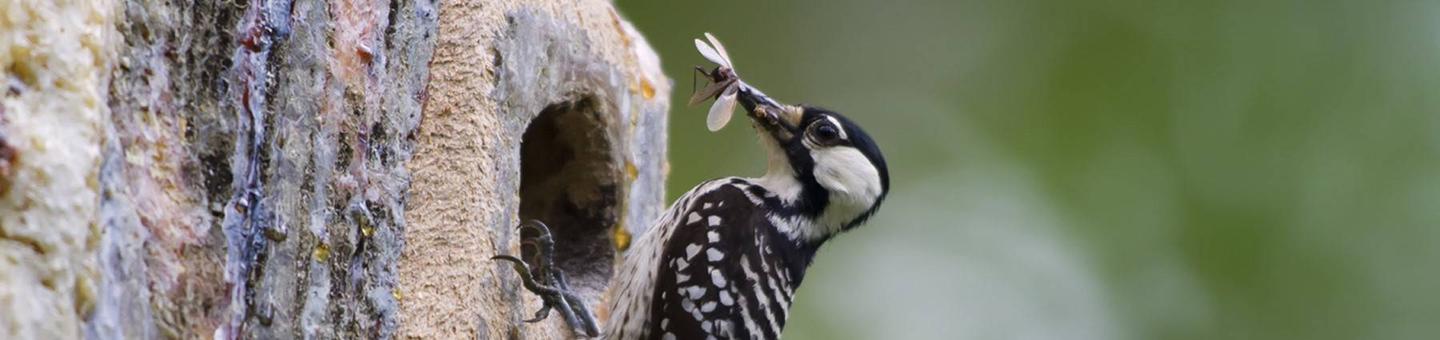
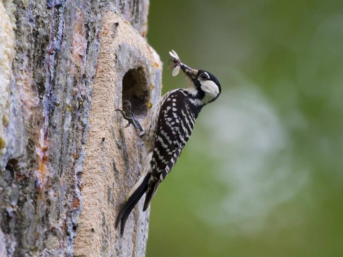
Sam D. Hamilton Noxubee National Wildlife Refuge is located in three counties (Noxubee, Oktibbeha, and Winston) and was originally created from lands obtained through the 1930's Resettlement Administration. With additional land acquisitions through the years, Noxubee now consists of 48,000 acres. Approximately 44,500 acres of the refuge is bottomland and upland forest. These forest lands are occupied by a variety of game species, including quail, deer, and turkey. The endangered red-cockaded woodpecker relies on the Refuge for its existence in east-central Mississippi, In addition many neotropic bird species inhabit the Noxubee forests. Four green-tree reservoirs (GTRs), two major lakes (Bluff - 800 acres and Loakfoma - 400 acres), 16 small impoundments, and assorted wetland areas provide important habitat for wood stork, American alligator, bald eagle and wintering waterfowl.
RecAreaDirections
From Highway 25 going south from Starkville toward Louisville, look for the green highway sign indicating Noxubee Refuge just after crossing into Winston County. Turn left onto Loakfoma Road at the sign. Follow the road until it ends at a T. Turn left and proceed approximately 9 miles. From Highway 25 going north from Louisville toward Starkville, look for the green highway sign indicating Noxubee Refuge. Pass the first sign. Continue to the next sign - approximately 7 miles - and turn right onto Loakfoma Road. Follow the road until it ends at a T. Turn left and proceed approximately 9 miles. From Highway 45 at Brooksville, look for Noxubee Refuge exit signs. Go through the town of Brooksville and follow the road until it turns to dirt (about 10 miles). Continue straight, go to second 4-way intersection and make a right. Follow sign to refuge. From Starkville (Highway 25/12), look for a sign at the corner with the Hampton Inn (Spring St.). Follow signs south on Oktoc Road to the refuge about 14 miles.
Open with Google MapMisc
| Stay Limit | |
| Reservable | false |
| Keywords | |
| Map Link | |
| Contact Phone | |
| Contact Email |
Permits info
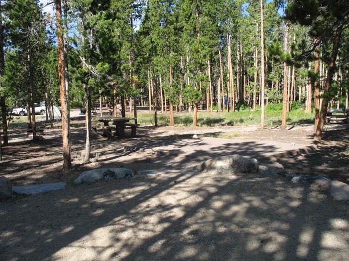
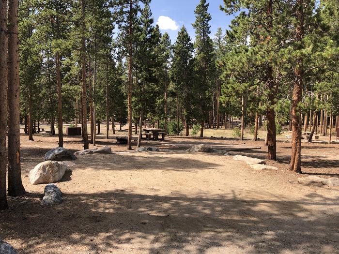
Facilities
no data available
