
Mud Spring Canyon
The southern part of the WSA includes the north end of The Cockscomb, a north south oriented ridge, prominent in south central Utah. The western portion consists of cliffs and benches dissected by southwesterly trending drainages. Wahweap Creek drains southward for 4 miles in the central part of the WSA. A waterfall on a perennial stream blocks the entrance to Dry Valley Creek Canyon, which remains in its natural condition and may be a relect ecosystem. About 200 acres are within this area, which may have important scientific values.
RecAreaDirections
Located in south central Garfield County and north central Kane County.
Open with Google MapMisc
| Stay Limit | |
| Reservable | false |
| Keywords | |
| Map Link | |
| Contact Phone | |
| Contact Email |
Permits info
Facilities
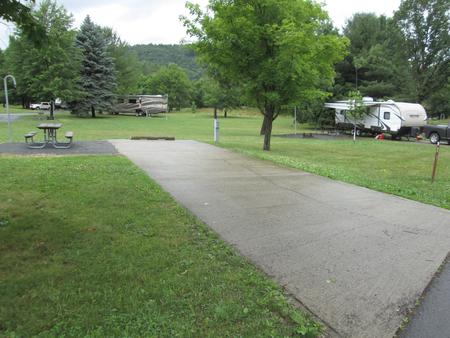
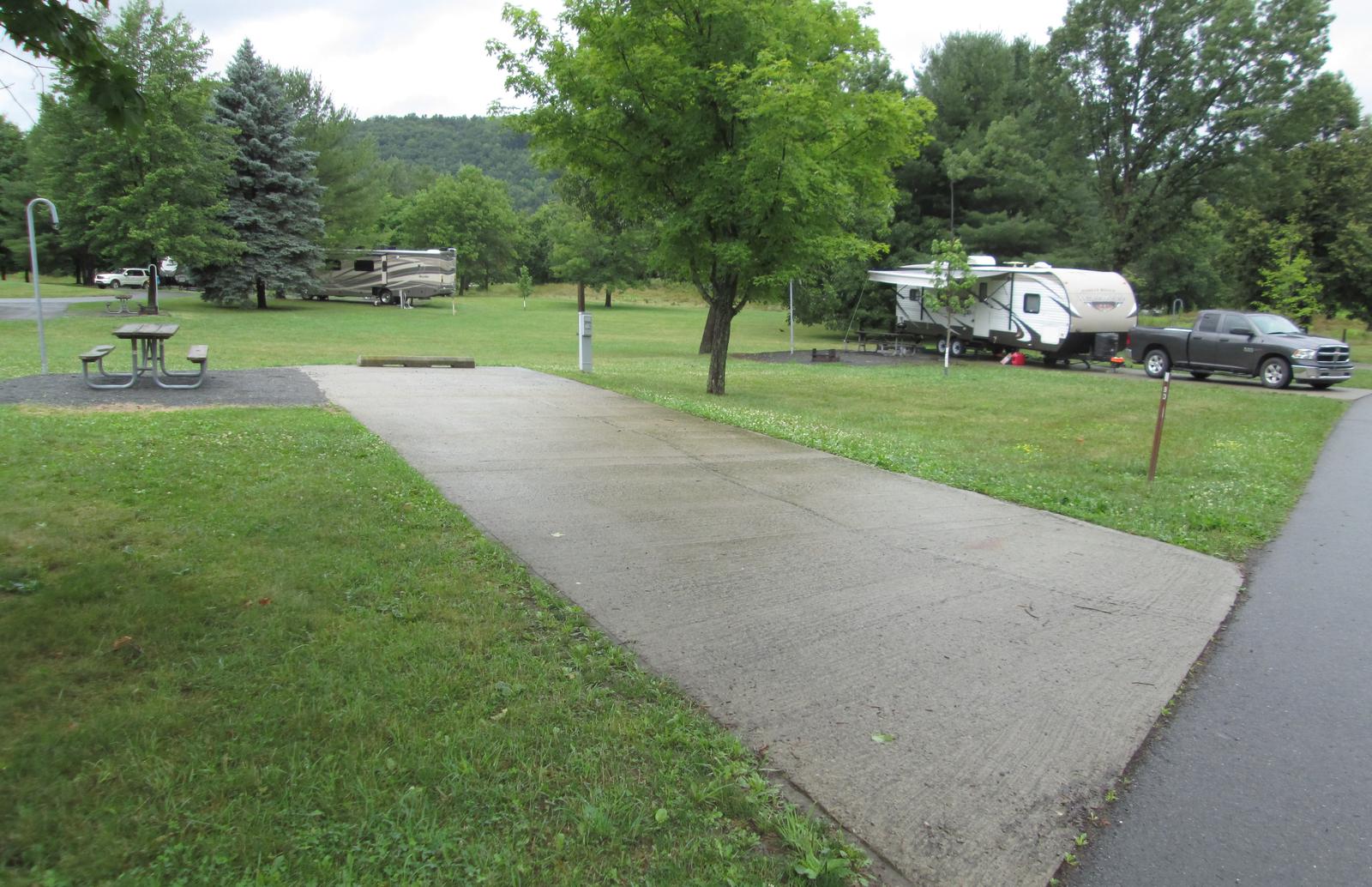
no data available
