
Fremont Gorge
The WSA is on a broad plateau that slopes gently north-northeast, and is intricately dissected by deep, narrow, meandering canyons that drain eastward into the Fremont River. Narrow, relatively flat-topped ridges separate the canyons. Vegetation is predominantly pinyon-juniper with associated grasses. Ecological and botanical features are related to high quality riparian habitat along Sulfur Creek.
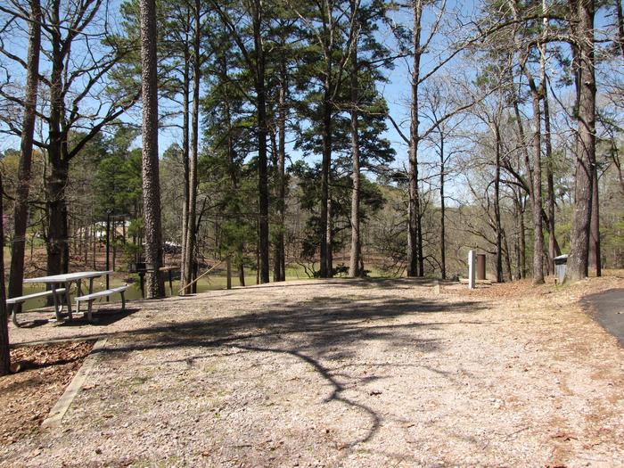
Campsite # 1
Kirby Landing campsite # 1
RecAreaDirections
Located in Wayne County, about 3 miles east of Torrey, UT.
Open with Google MapMisc
| Stay Limit | |
| Reservable | false |
| Keywords | |
| Map Link | |
| Contact Phone | |
| Contact Email |
Permits info
Facilities
no data available
