
Mt. Hillers
Mt. Hillers is a rugged peak with steep slopes carved by narrow canyons. Mt. Hillers is 5 to 6 miles across, and is cut by several radial narrow, steep, v-shaped valleys separated by elongated, jagged ridges. Hogbacks formed from upturned sedimentary rocks flank the mountain, and are vertical in the Pink Cliffs area. Vegetation is predominantly sagebrush and pinyon-juniper woodlands on the southern slopes. Ponderosa pine, Douglas fir, and bristlecone pine grow on the northern and the higher slopes.
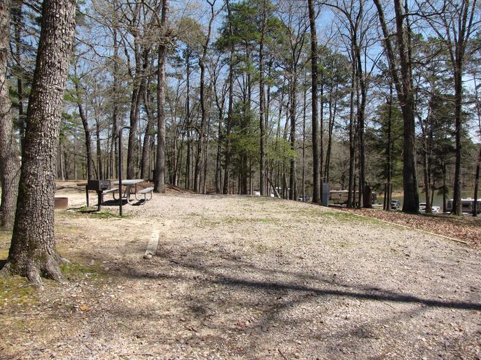
Campsite # 6
Kirby Landing campsite # 6
RecAreaDirections
Is located in northeastern Garfield County, about 30 miles south of Hanksville, UT.
Open with Google MapMisc
| Stay Limit | |
| Reservable | false |
| Keywords | |
| Map Link | |
| Contact Phone | |
| Contact Email |
Permits info
Facilities
no data available
