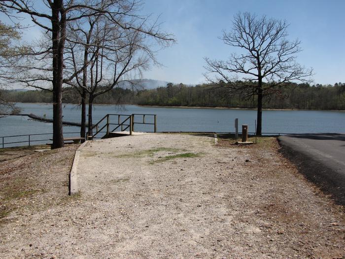
Scott's Basin
Flanked on the east by the Great Salt Lake Desert and on the west by the Deep Creek Valley, the Deep Creek Mountains are the highest landmark in all of western Utah. As an isolated “island” ecosystem and the fourth highest range in the Great Basin, the “Deeps” dominate the Great Salt Lake Desert in altitude, sheer mass, and biotic richness. From a barren landscape of alluvial outwash and playa basins, two 12,000 foot peaks rise 7,800 feet above the desert floor transitioning through sagebrush-grassland benches, pinyon-juniper forest, evergreen and aspen forests, and alpine meadows to form nine perennial streams and numerous canyons that twist through massive granite formations or quartzite cliffs.

RecAreaDirections
The easiest approach to the Deep Creek Mountains is via Interstate 80 and Wendover (Utah-Nevada border). Drive south from Wendover on Highway 93 Alternate; approximately 26 miles south of the Interstate turn left (east) onto Ibapah Road/Highway 1 and travel another 30 miles to Ibapah, Utah. To access the eastern portion of the WSA, take the Lower Gold Hill Road (approximately 3 miles north of Ibapah) east from Highway 1. After approximately 5 miles, turn right (south) onto the Pony Express-Overland Stage Road and continue south. The northern boundary of the WSA is approximately 9 miles south of the Lower Gold Hill/Pony Express-Overland Stage Road intersection.
Open with Google MapMisc
| Stay Limit | |
| Reservable | false |
| Keywords | |
| Map Link | |
| Contact Phone | |
| Contact Email |
Permits info
Facilities
no data available

 CuteCamper
