
Payette River Corridor
Flowing from the central Idaho mountains, the Payette River and its various forks offers a variety of river related recreational opportunities. The BLM and Forest Service jointly manage the Main Payette and South Fork Payette Rivers to provide public river access primarily for white-water boating. For the beginner, the Main Payette, from Banks to Beehive Bend, offers Class II-III rapids. The "Staircase" section of the South Fork (Confluence or Deer Creek to Banks) will provide a little more challenging Class II-III options, and the "Canyon" stretch (Deadwood to Danskin) will test your Class III-V rapids skills.
RecAreaDirections
Located about 30 miles north of Boise, Idaho along U.S. Highway 55. Numerous river access points are located along the main Payette River and the South Fork Payette River.
Open with Google MapMisc
| Stay Limit | Day Use only at river access sites, 14 day stay limit in dispersed camping areas. |
| Reservable | false |
| Keywords | |
| Map Link | |
| Contact Phone | |
| Contact Email |
Permits info
Facilities
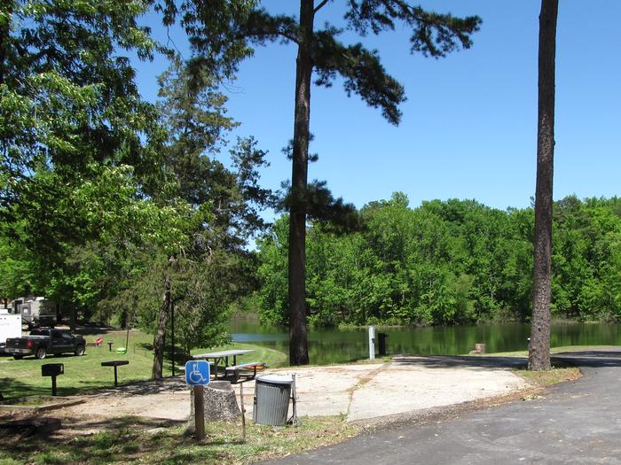
Payette River: Beehive Bend Facility
The Main Payette River is a classic Class III, pool-drop river. Beehive Bend serves as a take-out point primarily for the Main Payette River but can also be used for longer trips starting on the South Fork of the Payette. Most boaters put in at the USFS ramp at Banks, Idaho (the confluence of the North Fork and South Fork Payette Rivers). Beehive Bend has a gravel parking area, two vault toilets, a changing room, trash receptacles, and a concrete raft drying area. Ideal flows for this section is between 2,000-10,000 cfs. This is a fee parking area - $3.00/day or $20.00 season pass for the Payette River System. Day passes are available on-site.
Payette River Maps (Boater's Guide)
Payette River: Chief Parrish Facility
The Main Payette River is a classic Class III, pool-drop river. Chief Parrish is located about half way along the Main Payette River between Banks and Beehive Bend. This site is used as a launch or take-out spot primarily used by kayakers. The site is also a popular picnicking site. The facilities include a small, gravel parking area, vault toilet, and three picnic tables. This is a fee parking area - $3.00/day or $20.00 season pass for the Payette River System. Day passes are available on-site.
Payette River Maps (Boater's Guide)
Payette River: Confluence Facility
The South Fork Payette River is a classic pool-drop river. The Confluence recreation site is just downstream from the confluence of the Middle Fork and South Fork Payette Rivers. This site serves as a take-out point for boaters floating the Class II "Swirley Canyon" section or as a put-in for boaters tackling the Class IV "Staircase" section. The facilities include a gravel boat ramp and parking area, information kiosk, and vault toilet. This is a fee parking area - $3.00/day or $20.00 season pass for the Payette River System. Day passes are available on-site.
Payette River Maps (Boater's Guide)
Payette River: Deer Creek Facility
The South Fork Payette River is a classic pool-drop river. Deer Creek launch is a main put-in spot for the Class III-IV, "Staircase" section of the South Fork Payette River. many boaters will launch here to avoid the three miles of calm water from the Confluence Site. The site is essentially a very broad gravel area adjacent to the Banks-Lowman Highway. The facilities include a steep, steel and wood boat ramp, portable toilet, and information kiosk. This is a fee parking area - $3.00/day or $20.00 season pass for the Payette River System. Day passes are available on-site.
Payette River Maps (Boater's Guide)
Payette River: South Fork Facility
ALERT - The Swirly Canyon segment of the South Fork Payette River stretch offers opportunities for camping and fishing in a scenic mountain area. The BLM's South Fork Recreation Site is an undeveloped camping spot along the river.
