
JimMcClure-JerryPeakWilderness
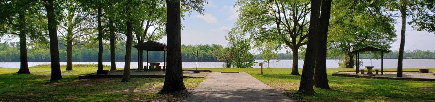
Idaho is home to some of the newest Wilderness in the nation including the beautiful Boulder-White Clouds complex of central Idaho. These protected areas, designated in August 2015, preserve approximately 276,000 acres of high mountain backcountry with crystal lakes and abundant wildlife. The BLM manages 23,916 acres in the Jim McClure-Jerry Peak Wilderness. This mountainous and dry area features hiking, fishing, hunting, and equestrian use, as well as opportunities to just “get away” and enjoy some solitude. The Jim McClure-Jerry Peak Wilderness area also includes the upper Herd Creek watershed with one of the most intact native plant communities in the state. This patchwork of riparian willows, abundant bunch grasses, forbs, aspen and conifers provides critical habitat for fish and wildlife species in the wilderness area. A great way to get to the wilderness is to take a short hike from the end of the road to Herd Lake A hike to the top of Jerry Peak will greet you with great panoramic views of surrounding mountain ranges. Jim McClure-Jerry Peak is the least visited of the three new wilderness areas, so if you want to enjoy solitude, great vistas, and the natural environment with minimal impacts, this is a great place to visit.
RecAreaDirections
Directions to BLM's Challis Field Office (BLM headquarters for Jim McClure-Jerry Peak Wilderness) via vehicle: From Idaho Falls take US 20 West to Arco, then US 93 North to Challis; Total distance 2.5 hours; 148 miles From Pocatello go North on I-15, exit onto US 26 West, merge onto US 20 West to Arco, head North on US 93 to Challis; Total distance 2:45 min; 163 miles. From Twin Falls go North on US 93 to Shoshone, turn onto US 26/93 heading Northeast to Carey, take US 20/26/93 East to Arco, turn North onto US 93 to Challis. Total distance 3:22 min; 189 miles. From Boise take ID-55 North through Eagle, ID and continue to Banks, turn East onto County Hwy 17 (Banks/Lowman Rd), merge onto ID-21 heading East over Banner Summit (7,056') and down to Stanley, go North on ID-75 to Challis. Total distance 4hrs, 190 miles. Note: Hwy 21 and/or Hwy 75 may close in the winter due to avalanche or landslide. From the North in Montana take US 93 South to Salmon, ID. Challis is approximately 1hr. south of Salmon.
Open with Google MapMisc
| Stay Limit | |
| Reservable | false |
| Keywords | |
| Map Link | |
| Contact Phone | |
| Contact Email |
Permits info
Facilities
no data available
