
Lower Nome Creek Trail
From a junction with McKay Creek Trail, this trail descends gradually from a ridge top through forest and meadows into the Nome Creek drainage. It crosses the creek before ending at Nome Creek Road and the Bear Creek Trail.
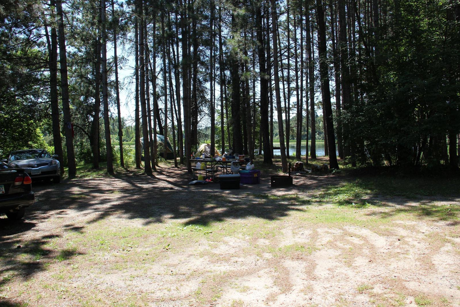
Site 9
Site 9
RecAreaDirections
The trail can be accessed from McKay Creek Trailhead (milepost 42.5 Steese Highway) or at an intersection with Nome Creek Road, approximately 1/2 mile before Ophir Creek Campground.
Open with Google MapMisc
| Stay Limit | |
| Reservable | false |
| Keywords | |
| Map Link | |
| Contact Phone | |
| Contact Email |
Permits info
Facilities
no data available
