
Parowan Gap
The Parowan Gap is an incredible area with a plethora of prehistorical and historical values. Listed on the National Register of Historic Places, the Parowan Gap includes many petroglyphs of native people, markings from Spanish explorers and 19th century pioneers. The area today is still used for livestock grazing. The petroglyphs found at the Gap are speculated to have many possible meanings depending on who interprets them. Sage Grouse, the Utah prairie dog, nesting raptors, lizards, and other animals may be found there along with a variety of vegetation such as spearmint, Brigham tea, sagebrush, rabbitbrush, and pinyon. Located at the Parowan Gap there is a designated parking area, restroom, benches, large pavilion with picnic tables and interpretive panels explaining some of the petroglyphs. You can also walk through the Gap to see the petroglyphs.
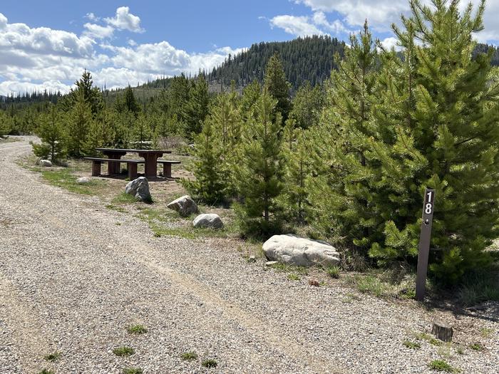
A photo of Site 018 of Loop B at PROSPECTOR with Picnic Table, Fire Pit, Tent Pad
A photo of Site 018 of Loop B at PROSPECTOR with Picnic Table, Fire Pit, Tent Pad
RecAreaDirections
Travel Directions from Cedar City: Travel north on Main Street. Follow Main Street into Enoch and onto the Minersville Highway. Follow this approximately 12.7 miles north, then as directed by the directional sign for the Parowan Gap, turn right (east). You will be looking directly through the Gap, drive through the Gap and turn left into the designated parking area.
Open with Google MapMisc
| Stay Limit | Day Use |
| Reservable | false |
| Keywords | |
| Map Link | |
| Contact Phone | |
| Contact Email |
Permits info
Facilities
no data available
