
Clarks Fork of The Yellowstone
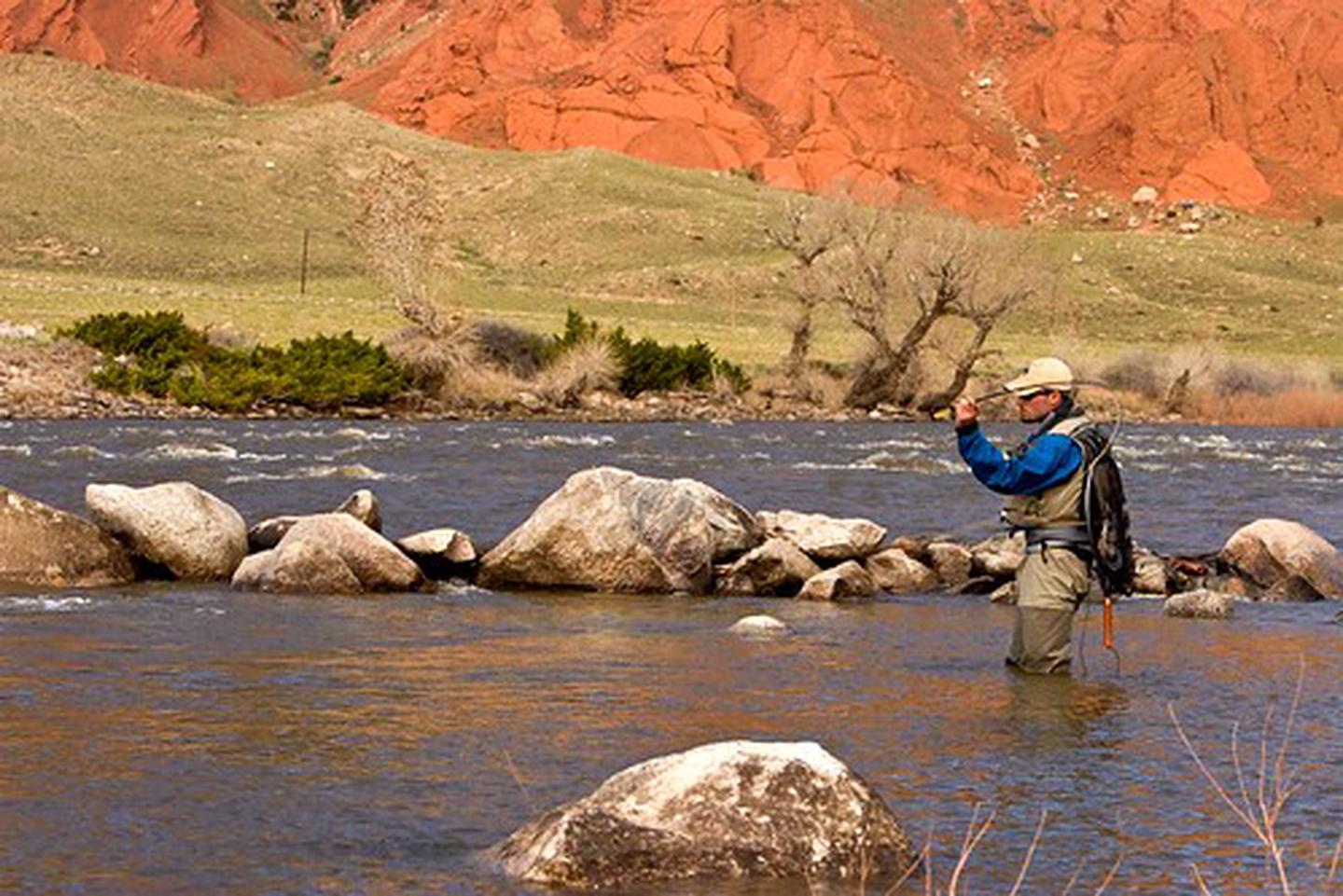
The Clarks Fork of the Yellowstone flows through the Shoshone National Forest through the awesome Clarks Fork Canyon into BLM-administered public lands, located just inside the mouth of the canyon.
The unparalleled landscape and recreational opportunities create an unforgettable experience. The area displays geology that is internationally studied, within the Nez Perce National Historic Trail, offers abundant fishing opportunities, and a popular access point to explore further into the Shoshone National Forest.

RecAreaDirections
From Cody, Wyoming, drive north on the Belfry Highway (Wyoming State Highway 120) for approximately 29 miles and turn west on Clarks Fork Canyon Road (County Road 8VC). Head west on Clarks Fork Canyon Road for approximately 11 miles until you reach the mouth of the Canyon. There is adequate parking at the terminal of County Road 8VC, or you can drive down a very rugged two-track to gain closer access to the Clarks Fork River.
Open with Google MapMisc
| Stay Limit | |
| Reservable | false |
| Keywords | |
| Map Link | |
| Contact Phone | |
| Contact Email |
Permits info
Facilities
Clarks Fork Boat Launch Facility
The boat launch is a primitive boat ramp available to launch boats. The access route to the ramp is very rugged, so use high-clearance vehicles to access the site. Parking is available, and adequate space is available for comfortably navigating a truck/trailer.
