
N.F. Shoshone
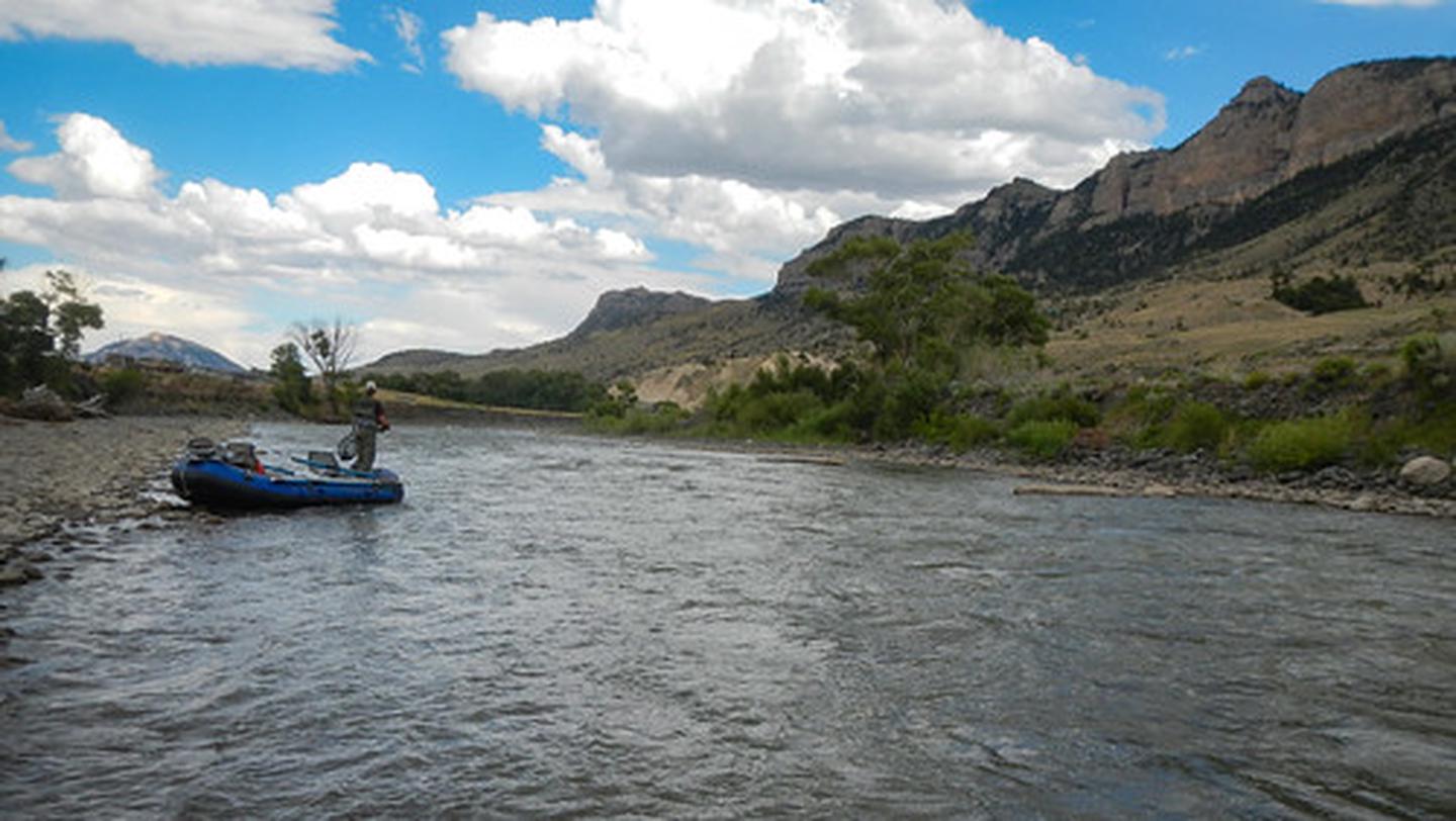
The North Fork Shoshone River begins its journey on the slopes of Stinkingwater Peak high in the Absaroka Mountains managed by the Shoshone National Forest and drains down the North Fork into Buffalo Bill Reservoir.
The North Fork Highway, the road to Yellowstone's East Gate, follows the North Fork from Buffalo Bill Dam Visitor Center all the way to Pahaska.
The BLM manages parcels of public accessible lands along the North Fork, which offers opportunities for fishing, boating, sightseeing, and hiking.
RecAreaDirections
Head west on US Highway 14,16,20 out of Cody through the tunnels all the way to Pahaska.
Open with Google MapMisc
| Stay Limit | |
| Reservable | false |
| Keywords | |
| Map Link | |
| Contact Phone | |
| Contact Email |
Permits info
Facilities
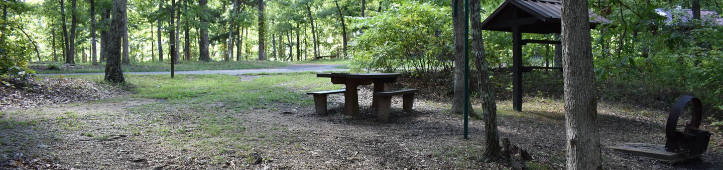
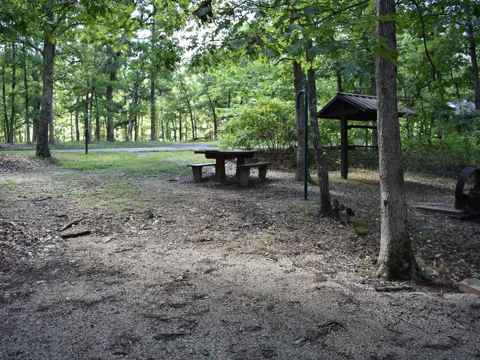
North Fork Shoshone R Access Facility
The North Fork Shoshone River Access consists of a constructed a boat ramp to be used as a put in/take out for river users enjoying the North Fork Shoshone River.
The site includes an informational kiosk, site registration box, monofilament dump station and a comfort station. A flow design is installed to assist navigating a truck and trailer to the ramp. The site also includes adequate parking for day use.
Wapiti Bridge Facility
Wapiti Bridge access is located along the North Fork Highway, the portal into Yellowstone's East Gate, within the awesome North Fork Shoshone River corridor. The parcel provides for adequate parking, informational signs, and access down to the North Fork Shoshone River.
Trout Creek BB St. Pk. Facility
Trout Creek Access is located along the Stagecoach Trail Road and provides for access to the North Fork Shoshone River. Parking is limited, so first come first serve.
Stagecoach Trl Fishing Access Facility
Stagecoach Trail Fishing Access provides access to BLM-administered public lands and to the North Fork Shoshone River. The site contains adequate parking and informational signs.
