
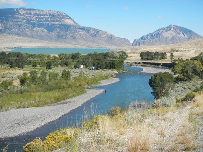
S.F. Shoshone River
The South Fork Shoshone River begins its journey from the Fremont County/Park County boundary high in the Absaroka Mountains draining north into Buffalo Bill Reservoir.
The BLM administers a handful of parcels along the South Fork, all of which offers fishing opportunities, and other dispersed recreational opportunities.
RecAreaDirections
From Sheridan Ave in Cody, Wyoming, head south on the South Fork Highway (County Road 6WX). The entire length of the road will take you to the public parcels, and will end at Cabin Creek, located within the Shoshone National Forest.
Open with Google MapMisc
| Stay Limit | |
| Reservable | false |
| Keywords | |
| Map Link | |
| Contact Phone | |
| Contact Email |
Permits info
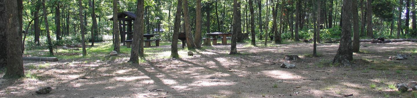
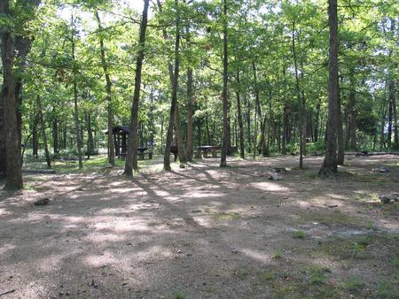
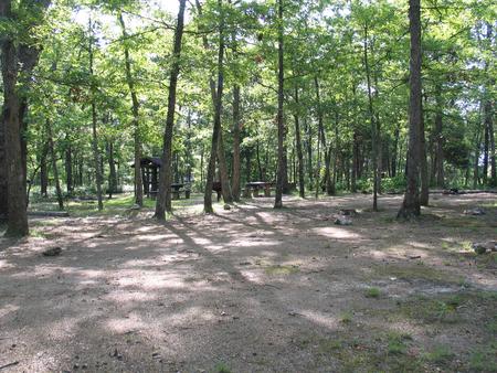
Facilities
Cody Canal Facility
Cody Canal is located within the beautiful South Fork Shoshone River valley. It is a BLM parcel located along the South Fork which provides for a wonderful are to fish, walk, and even some limited hunting. The site is co-managed with the Wyoming Game and Fish and consists of a developed parking area, informational kiosks, and a trail to the South Fork.
Castle Rock Facility
Castle Rock fishing access is located in the beautiful South Fork Shoshone River valley. The site serves as an access point to the South Fork.
The site is undeveloped, meaning there is not parking areas or portal signs. The boundaries are marked with "entering/leaving public lands" on the BLM/Private boundaries along the road and the river. Private lands surround this parcel of public lands, so be mindful of property boundaries.
Andy Martin Facility
Andy Martin is a BLM-administered parcel of land located along the South Fork of the Shoshone River. The site provides opportunities for fishing, water fowl and upland bird hunting, and limited big game hunting opportunities.
There is no developed parking or trailhead, so caution is to be used when parking your vehicle to minimize fire risks or accidents along the Lower South Fork Road.
Twin Creek Trail Facility
The Twin Creek Trailhead provides access to a horseback riding and hiking trail along the West Fork of Twin Creek to the Shoshone National Forest. The site also provides fishing access for the South Fork of the Shoshone River. The elevation at the trailhead is 5,840 feet and rises to 6,880 feet in approximately three miles to the forest boundary. The trailhead facilities include an information kiosk, horse trailer parking and toilet facilities. Deer, elk, antelope, moose, grizzly and black bear and mountain lion may be seen in the surrounding area. Twin creek trail is closed from January 1 - April 30 to protect wintering big game. This trail crosses the South Fork of the Shoshone River. Cross with caution during spring runoff as conditions may be dangerous. This is grizzly bear country, so be bear aware!
