
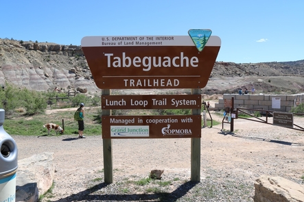
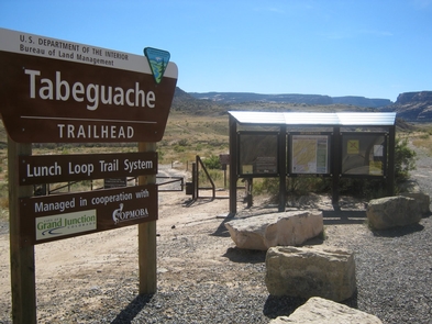
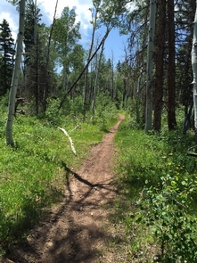
Tabeguache
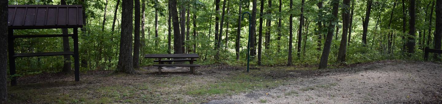
The Tabeguache (pronounced TAB-a-watch) Trail crosses public land for 142 miles, connecting Montrose and Grand Junction, Colorado. The trail begins in Shavano Valley and weaves through the canyons, mesas, and highlands of the Uncompahgre Plateau before ending in No Thoroughfare Canyon, a few miles west of Grand Junction. The trail is marked by brown fiberglass posts approximately every mile, and at all intersections. Most of the trail is on remote lands administered by the U.S. Forest Service and BLM. The adventurous nature of this trail requires users to be cautious, personally responsible, and self-sufficient and have a working knowledge of backcountry survival. The use of topographic maps, a compass and/or GPS unit is strongly recommended. Carry plenty of drinking water as it is not readily available along the trail.
To reduce damage to the resource, you are encouraged to avoid the area when wet conditions exist. It is difficult, but not impossible, for high-clearance 4-wheel drive vehicles to travel all but single-track sections of the trail. Users are urged to respect all property rights by closing gates, being watchful for livestock, and camping only in approved camping areas. Users should also be aware that the Uncompahgre Plateau is a nationally renowned hunting area, and during the hunting season, it is highly recommended that you wear orange hats and jackets. Check state hunting dates with the Colorado Division of Wildlife before beginning your trip. For more information, please contact the Uncompahgre and Grand Junction Field Offices, or the Colorado Plateau Mountain Bike Trail Association (COPMOBA), which has produced a brochure for the entire trail.
RecAreaDirections
From the intersection of US 285 and CR 140 (1 mile north of the intersection of US 50 and US 285 near Poncha Springs), go west on CR 140 for 1.7 miles. Turn right (north) onto CR 250 and drive 4 miles to where FR 252 branches to the left. Take FR 252 for 3.1 miles to the trailhead.
Open with Google MapMisc
| Stay Limit | 14 Day Stay Limit |
| Reservable | false |
| Keywords | |
| Map Link | |
| Contact Phone | |
| Contact Email |
Permits info
Facilities
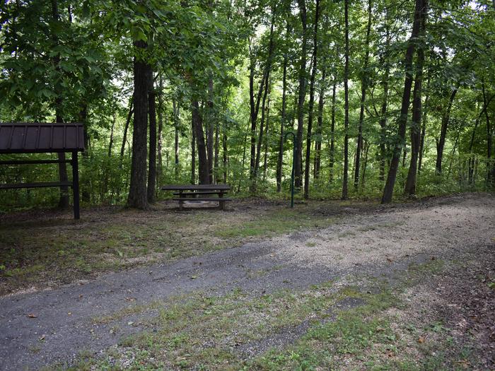
Rimrocker Trailhead Facility
The Rimrocker Trail is a newly connected trail that allows you to enjoy 160 miles of off-pavement travel while experiencing the many different stunning landscapes that connect Montrose, Colorado to Moab, Utah. The roads on the eastern half are graded gravel roads that are two vehicles wide and would easily be traveled in a family sedan. It would be a fantastic destination to travel through the aspens during their fall color changes as well as stopping for the fantastic views at the overlooks.
Spanning a distance of 160 miles, the Rimrocker Trail provides 4WD, OHV and bicycle access through some of the West's most stunning scenery. Visitors are immersed in natural beauty as the trail guides them through a landscape of redrock canyons, winding rivers, desert vistas and alpine forests. Whether you travel the whole route or just a portion, the experience will stay with you for a lifetime.The Rimrocker Trail is well signed for its entire length, and an excellent paper map of the route is available from the Montrose Visitor Center, the Visitor Center in Naturita, and several other locations. Please call 970-252-4505 with questions on the Rimrocker Rally. For more information, please contact the Uncompahgre Field Office.
Travel Tips:
1.The trail is well marked with sign posts. A GPS comes in handy a few times.
2.Maps and an informational brochure can be picked up at the visitors’ center in Montrose or Naturita.
3.The entire trail usually opens by June depending on snowpack.
4.Best time to travel would be early summer for wildflower viewing or during the fall colors.
5.The trail is suitable for stock high-clearance 4x4 vehicles with good tires.
