
Yukon Delta National Wildlife Refuge
In southwest Alaska, the waters of the Yukon and Kuskokwim rivers flow through a vast "treeless plain," or tundra that forms the heart of the Yukon Delta National Wildlife Refuge. Almost 70% of this 19 million acre refuge is below 100 feet in elevation, and consists of a broad, flat delta stitched through with rivers and streams and dotted with countless lakes, sloughs and ponds. Bordering this expanse of tundra and wetlands are forest and shrub habitat and uplands sporting mountains more than 4000 feet high. The refuge also includes two large islands - Nelson and Nunivak.
The Yukon-Kuskokwim Delta is among the most populated rural areas in Alaska and within the refuge, 35 villages and nearly 25,000 Yup'ik Eskimo people make their home. Along with this population comes a region rich in culture where residents dependent on resources to support an active subsistence way of life.
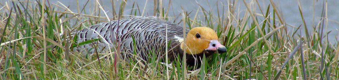
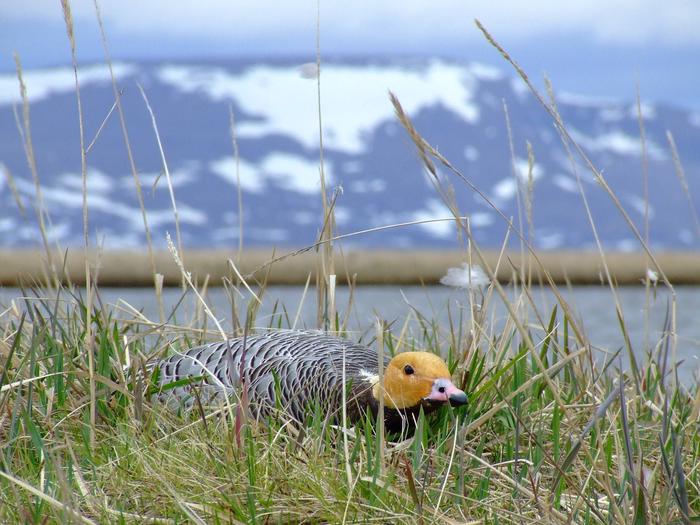
A vision of the Yukon Delta Refuge is one of waterfowl. Without question, the refuge supports one of the largest aggregations of water birds in the world and a spectacle takes place every spring as millions of ducks, geese, and other water birds return to the refuge to nest. But a vision of the refuge must be much broader than waterfowl. It supports one of the most important shorebird nesting areas in the United States in terms of both density and species diversity. Hundreds of miles of rivers and streams provide spawning and rearing habitat for 44 species of fish including all five North American Pacific salmon. Drier upland habitats harbor populations of both brown and black bears, caribou, moose, wolves, and muskox. Along the coast of the refuge, the waters of the Bering Sea host a variety of marine mammals, including whales which pass during migration.
RecAreaDirections
You cannot drive to the refuge since no roads lead into Bethel, the location of the refuge headquarters. Various airlines provide regular commercial flights to and from Bethel. Upon arriving in the airport in Bethel, drive 2 miles along the only paved road in town, the Chief Eddie Hoffman State Highway, to the refuge office and visitor center. The office is located across from the hospital (a structure known locally as the "yellow submarine"). From Bethel, most non-local visitors travel into the refuge by small aircraft.
Open with Google MapMisc
| Stay Limit | |
| Reservable | false |
| Keywords | |
| Map Link | |
| Contact Phone | |
| Contact Email |
Permits info
Facilities
no data available
