
Colorado River Headwaters Byway
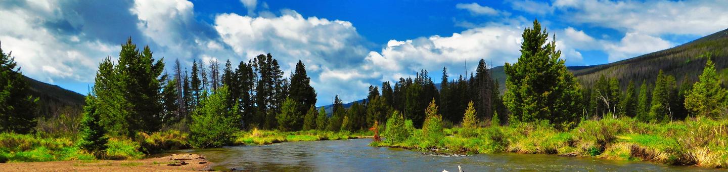
The Colorado River headwaters begin in Rocky Mountain National Park in northwest Colorado, about 55 miles from Kremmling. From the trickle of snowmelt starting in the Never Summer Range to the Colorado River Delta near the Gulf of California, the Colorado River runs about 1,450 miles. Once the river flows past Kremmling, it drops into Gore Canyon, cutting through the Precambrian gneiss and schist of the Gore Range. This section of river, which drops at 68 feet per mile for three miles, is considered the most challenging commercially-rafted stretch of river in Colorado—and possibly the United States! Once the pounding river gushes out of Gore Canyon, the river calmly continues its journey through Lower Gore/Hartman Canyon and Red Gorge Canyon, past Bull Gulch Wilderness Study Area, and into Glenwood Canyon. The area between Pumphouse and State Bridge receives heavy public use. The stretch below State Bridge has traditionally seen far fewer boaters. In some cases, regulations may differ between these two sections of river due to the differences in public use.

RecAreaDirections
From the town of Kremmling drive south on State Highway 9 approximately 1 mile to the intersection with Trough Road (county road 1). Turn right onto Trough road and drive along this road to the intersection with State Highway 131 at Sate Bridge. State Highway 131 will go south to Interstate Highway 70. The river generally follows the path of the highway.
Open with Google MapMisc
| Stay Limit | 14 days |
| Reservable | false |
| Keywords | |
| Map Link | |
| Contact Phone | |
| Contact Email |
Permits info
Facilities
no data available
