
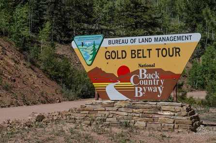
Gold Belt Recreation Management Area
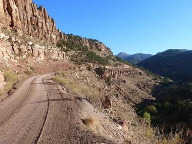
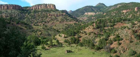
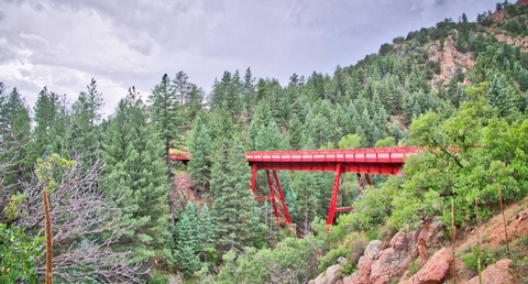
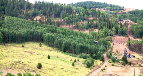
The Gold Belt Tour National Scenic Byway retraces the historic travel routes for the World’s Greatest Gold Camp, Cripple Creek. Travel on a historic, narrow-gauge railroad bed, an old stage road, and a county road on the Byway. The three legs of the route, which form a loop, have a total length of about 131 miles of historic sites, museums and recreation sites. For more information, please contact the Royal Gorge Field Office.
RecAreaDirections
The Byway is located just 1 hour from Colorado Springs or Pueblo, Colorado. From the north, it can be reached from U.S. Highway 24; the southern end can be reached from U.S. Highway 50.
Open with Google MapMisc
| Stay Limit | 14 days |
| Reservable | false |
| Keywords | |
| Map Link | |
| Contact Phone | |
| Contact Email |
Permits info
Facilities
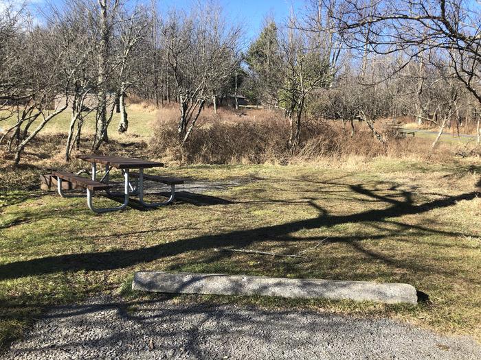
Penrose Common Rec Site Facility
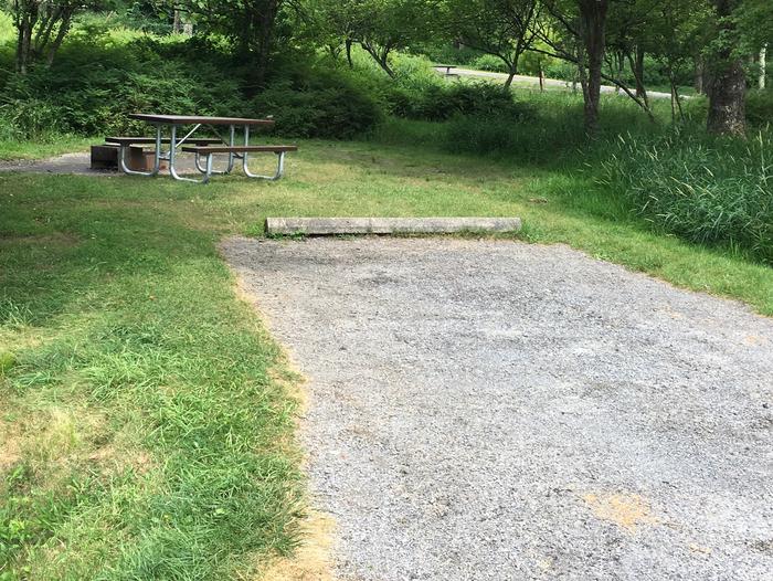
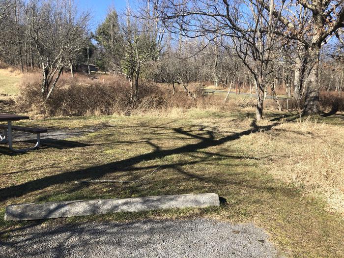
Penrose Commons Recreation Area offers a warm, arid climate among pinon and juniper woodlands. The best time to visit is September through May when temperatures are comfortable and the snowy peaks of the Sangre De Cristo mountain range are visible in the distance. With 30 miles of motorized trail, the area is popular for ATVs, motorcycles and four wheeling. Independence Trail system is known for its extreme 4x4 rock crawling opportunities with easy access for spectators to enjoy the trail activity. Penrose Commons is also popular for horseback riding, hunting and dispersed camping. The area has a restroom, trail map information and ample parking space for trailers. A wet weather gate closes the area to motorized use during wet conditions. For more information, please contact the Royal Gorge Field Office.
