
Diamond Craters Outstanding Natural Area
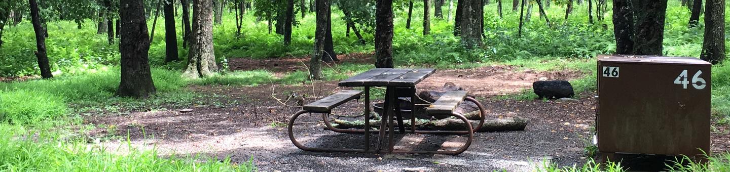
First come/first served tent only site 46
Tent only site 46
Overview:
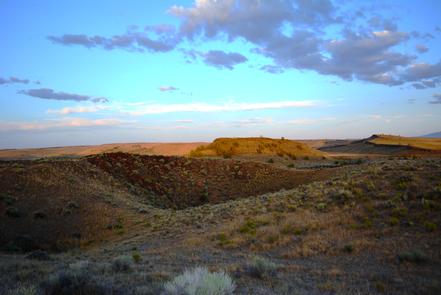
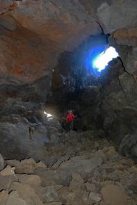
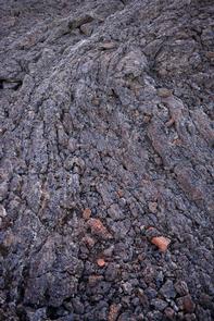
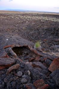
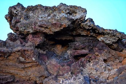
Diamond Craters, an Outstanding Natural Area of 17,000 acres (23 square miles), has some of the most diverse basaltic volcanic features in the nation clustered within a small, accessible area. The area displays an entire range of eruptions possible in basaltic volcanism. It was formed sometime in the past 25,000 years and now resembles a thin, rocky pancake with a few bumps. Features identifiable at the Outstanding Natural Area include craters and vents, cinder cones, spatter cones, lava tubes, driblet spires, a graben, and a water-filled maar.Know Before You Go:
- It took thousands of years of volcanic activity to form Diamond Craters, but only a few seconds can damage its features. Help BLM protect this area. Please do not destroy or collect plants, animals or rocks.
- There are no restroom facilities or other amenities. Bring your own water and shelter and follow Leave No Trace principles: pack it in, pack it out.
- Keep your vehicle on hard-packed road surfaces and obvious parking areas.
Point of Interest:
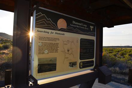
Located in southeast Oregon's high desert country, Diamond Craters is really unlike any other place in North America.Diamond Craters Brochure
Diamond Craters
Diamond Craters
Diamond Craters
Diamond Craters
Diamond Craters
Diamond Craters
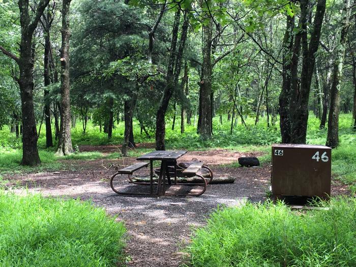
First come/ first served tent only site 46
Tent only site 46
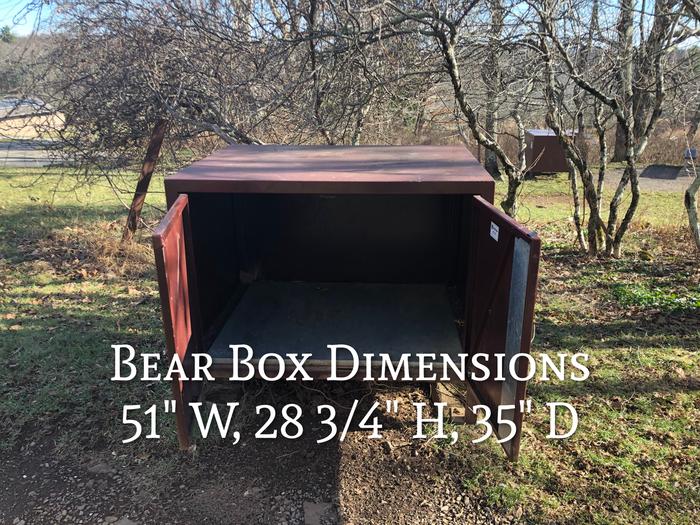
Food Storage
Food Storage Locker Dimensions: 51" W, 28 2/4" H, 35" D
RecAreaDirections
From Burns, take State Highway 78 southeast for approximately 2 miles. Turn right onto State Highway 205 and travel south for 46 miles to the Diamond Junction. Turn left at the junction and travel approximately 6 miles to the junction of Lava Bed Road and Happy Valley Road. Turn left onto Lava Bed Road to access Diamond Craters Outstanding Natural Area.
Open with Google MapMisc
| Stay Limit | |
| Reservable | false |
| Keywords | |
| Map Link | |
| Contact Phone | |
| Contact Email |
Permits info
Facilities
no data available
