
Ignacio Chavez Special Management Area
The Ignacio Chavez Special Management Area (SMA) consists primarily of two Wilderness Study Areas -- the Ignacio Chavez Wilderness Study Area (33,300 acres) and the Chamisa Wilderness Study Area (13,700 acres). For more information on Wilderness Study Areas, please visit the Ignacio Chavez WSA webpage.
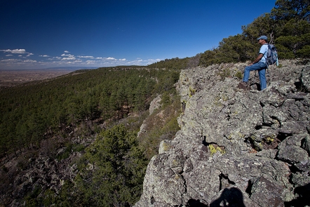
Steep canyons and high rugged cliffs provide rewarding challenges for the backcountry hiker here. Much of the Special Management Area lies within the Ignacio Chavez Land Grant, awarded to settlers in 1768 by the Spanish government for establishing communities. Because these communities were never developed, the U.S. Government later acquired the land grant.
RecAreaDirections
Travel northwest on US 550 from Bernalillo, NM, past San Ysidro (23 miles from Bernalillo). Continue northwest along US 550 about 20 more miles to the junction with County Road 279 to the west (left). A green highway sign (labeled "San Luis - Cabezon - Torreon") marks the County Road 279 turnoff. This paved road passes through the small village of San Luis, after which the road turns to gravel and dirt. Travel on this dirt road approximately 18 miles, crossing the bridge over the Chico Arroyo, until the road splits - County Road 279 continues south to Guadalupe and BLM Road 1103 begins west. Travel on 1103 for about one mile, until County Road 25 splits to the north. BLM Road 1103 continues to the mesa top of the Ignacio Chavez Grant.
Open with Google MapMisc
| Stay Limit | |
| Reservable | false |
| Keywords | |
| Map Link | |
| Contact Phone | |
| Contact Email |
Permits info
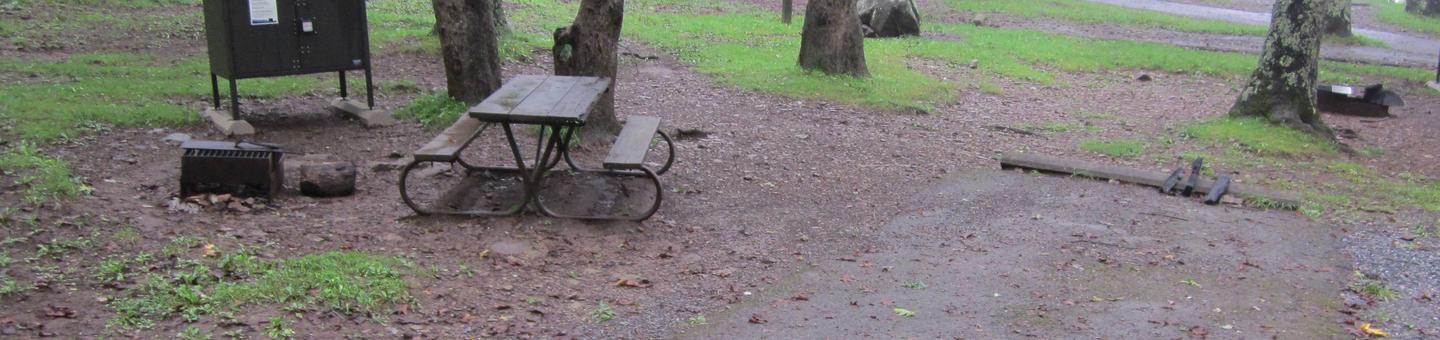
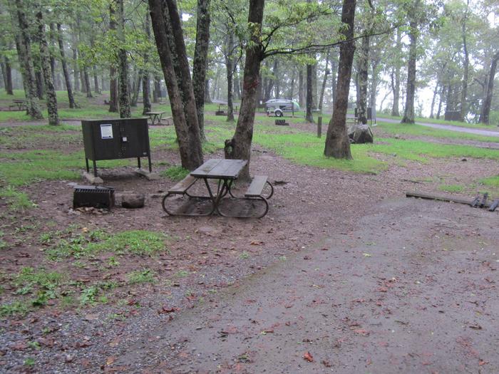
Facilities
no data available
