
Melton Hill Lake
Melton Hill Reservoir is on the Clinch River in east Tennessee. It extemds almost 57 miles upstream from Melton Hill Dam to Norris Dam. Unlike other TVA reservoirs, Melton Hill is not used for flood control. But because it's used for power production, the level of the water in the reservoir fluctuates about four feet throughout the year.
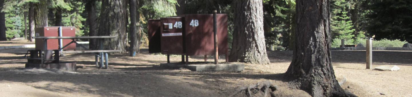
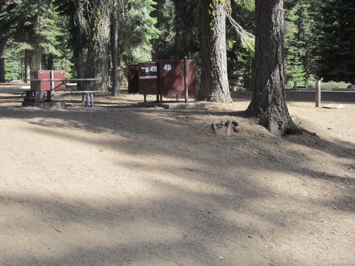
The area around Melton Hill offers camping, sheltered picnic tables, and pavilions. Two boat ramps, one below the dam and one above, give boaters access to Watts Bar Reservoir as well as Melton Hill Reservoir. Roads on both sides of the river are great for walking, jogging, or bike riding. Game fish in the reservoir include sauger, crappie, and bass.
The dam and reservoir take their name from a high knob located about two miles from the dam. On this hill is a triangulation station established in 1884 by the U.S. Coast and Geodetic Survey for use in mapping the area.
Melton Hill Reservoir extends the reach of barge traffic 38 miles up the Clinch River to Clinton, Tennessee, making the area attractive to industries that rely on this mode of transportation.

RecAreaDirections
From Knoxville, go west on I-40 and take exit 364. Go north 1/2 mile on Highway 95, and watch for signs.
Open with Google MapMisc
| Stay Limit | |
| Reservable | false |
| Keywords | |
| Map Link | |
| Contact Phone | |
| Contact Email |
Permits info
Facilities
no data available
