
Las Cienegas National Conservation Area
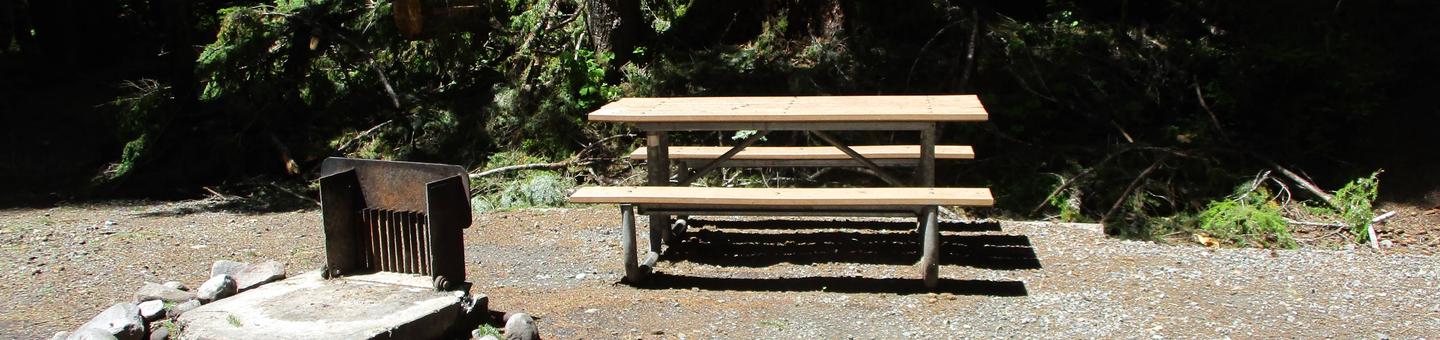
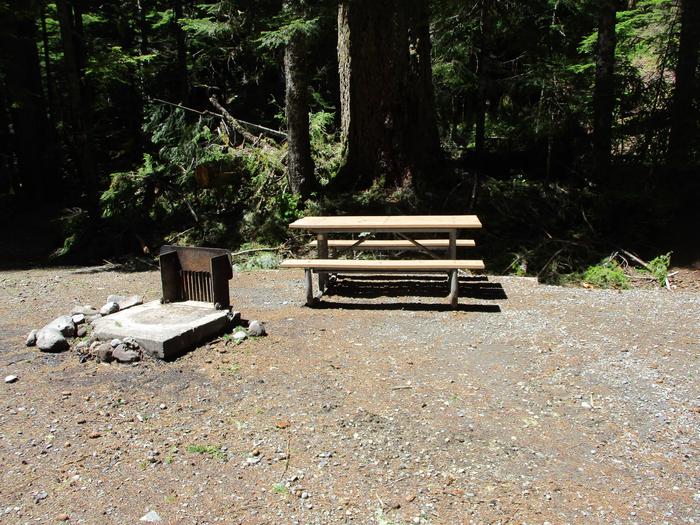
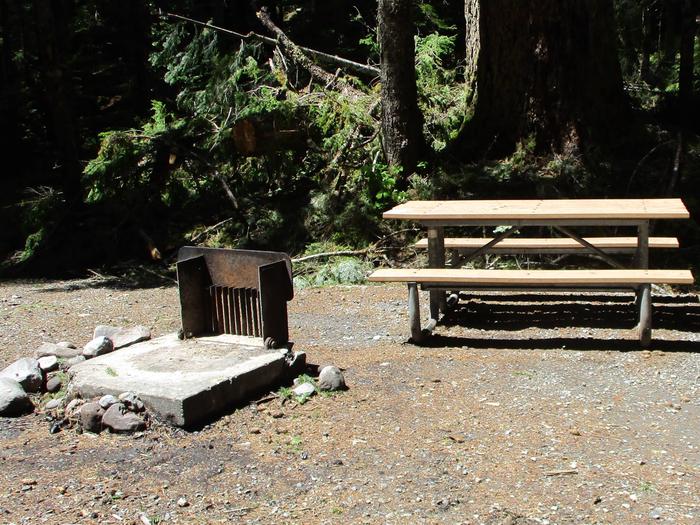
Picnic Table and Fire Ring
Picnic Table and Fire Ring
COVID-19 FACILITY UPDATES
Facilities or services have changed at this site in response to coronavirus (COVID-19). Click here for updates.
In a state where desert arroyos, washes, and many streambeds remain bone-dry most of the time, the year-round flow of Cienega Creek makes it a highly valuable resource. A lush green ribbon of vegetation defines one of the most significant riparian zones in southern Arizona. Cienega Creek gets its name from the cienegas, or marshes, which occur along its length. This rare vegetation community has nearly disappeared in the Southwest.The national conservation area includes a working cattle ranch. Visitors are asked to leave all gates as they are found. There is no trash pick up, so visitors need to pack up all trash.
The area is a travel corridor for illegal immigrants traveling from Mexico. Report all suspected illegal activities to BLM or local law enforcement authorities. Stay safe by avoiding contact with people who are exhibiting suspicious behavior or engaged in dangerous activities.
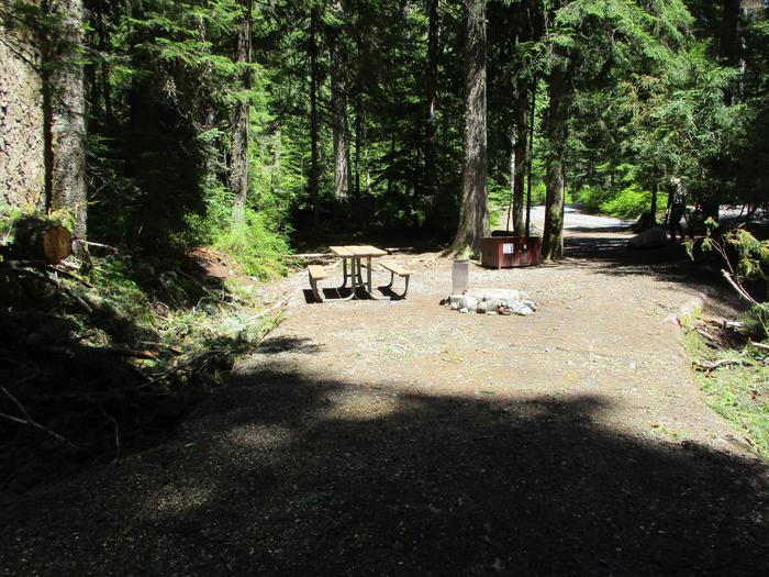
Picnic Table, Bear Box, and Fire Ring
Picnic Table, Bear Box, and Fire Ring
Picnic Table and Fire Ring
Picnic Table and Fire Ring
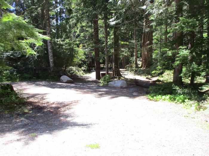
Drive Way
Drive Way
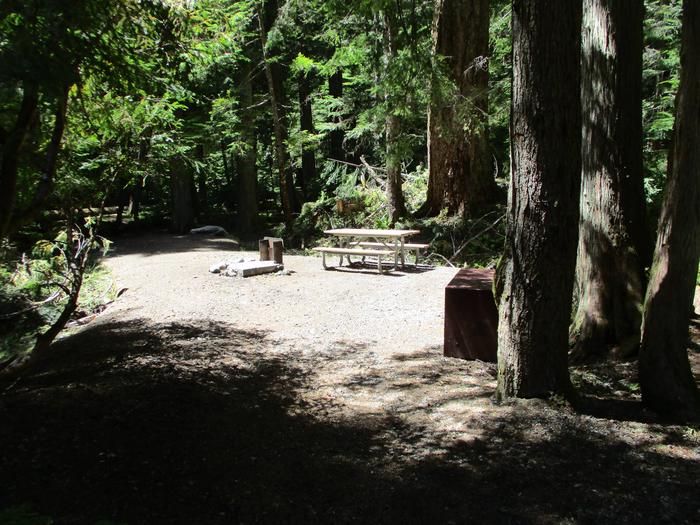
Picnic Table, Tent Pad, and Fire Ring
Picnic Table, Tent Pad, and Fire Ring
Picnic Table and Fire Ring
Picnic Table and Fire Ring
RecAreaDirections
From Tucson, go east on Interstate 10 and then south on state Route 83 to the wildlife area turnoff near milepost 40.
Open with Google MapMisc
| Stay Limit | |
| Reservable | false |
| Keywords | |
| Map Link | |
| Contact Phone | |
| Contact Email |
Permits info
Facilities
no data available
