
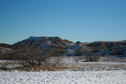
Alibates Flint Quarries National Monument
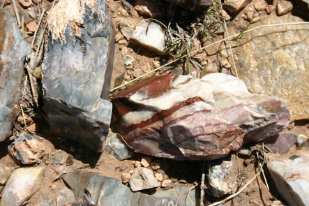
13,000 years ago, this site was well-known by mammoth hunters as a source of flint for tools. Centuries passed, but the colorful flint never lost its value or usefulness in the Texas Panhandle. Learn how important this site was to the survival, commerce and culture of the people of the High Plains.
RecAreaDirections
Alibates Flint Quarries is located approximately 35 miles north of Amarillo, Texas. From I-40 in Amarillo, take Lakeside exit north towards Lake Meredith National Recreation Area. Exit on TX 136 north towards Borger. After about 30 miles, turn west from TX 136 onto Cas Johnson Road. Park Service signs will be visible. Proceed approximately 3 miles to "Y" intersection and bear to right. Go northwest approximately 2 miles to the Alibates Flint Quarries National Monument Visitor Center.
Open with Google MapMisc
| Stay Limit | |
| Reservable | false |
| Keywords | |
| Map Link | |
| Contact Phone | |
| Contact Email |
Permits info
Facilities
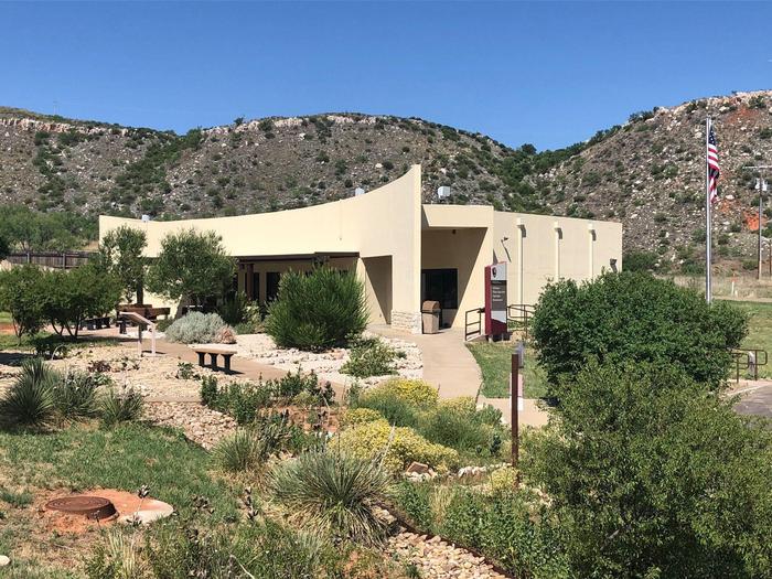
Alibates Visitor Center Facility
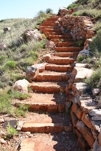
The Alibates Visitor Center is home to exhibits, a theater and outdoor gardens, showcasing the history of Alibates Flint and the cultures that used this precious natural resource throughout the last 13,000 years. It is also the meeting place for ranger-led hikes and tours of the monument, demonstrations, and numerous special events throughout the year. Open Mon-Fri 9 a.m. to 4:00 p.m. 7 days a week . Limited wireless or cellular access is available.
