
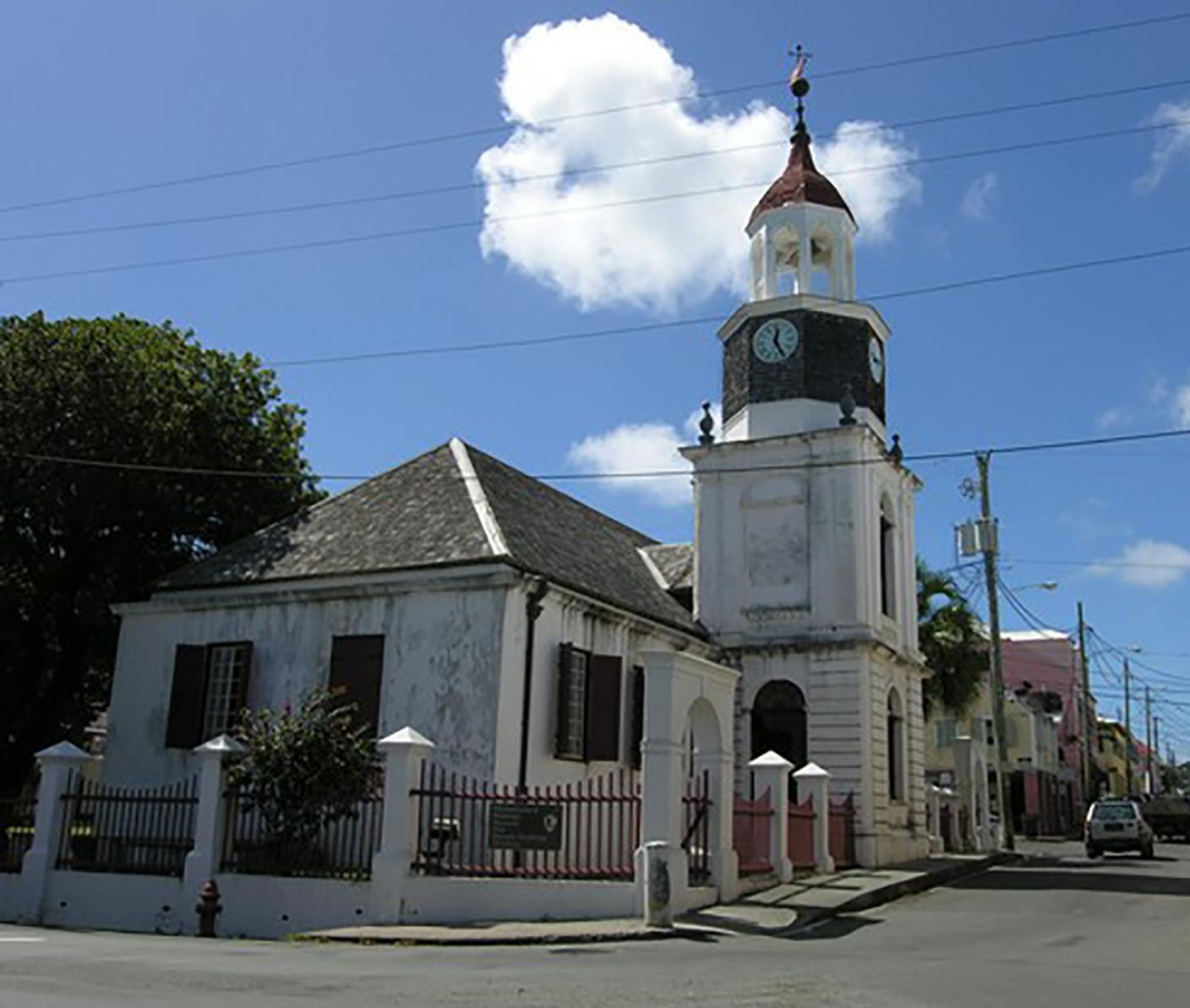
Christiansted National Historic Site
Christiansted National Historic Site was established in 1952 as the first unit of the National Park Service in the Virgin Islands of the United States. Covering over seven acres the park tells the stories about Danish economy and ways of life, and the interactions of people in Europe, Africa, West Indies, and North America during the Danish era of occupation of the Virgin Islands (1734-1917).

RecAreaDirections
To Christiansted National Historic Site from Henry E. Rohlsen Airport: Drive east on Route 64 to Melvin Edwards Highway (Route 66). Turn right and continue for 4.8 miles (7.2 kilometers). Continue straight onto Old Centerline Road (Queen Mary Highway), and continue straight onto the Christiansted Bypass 3.7 miles (5.9 km). Turn left onto Hospital Street. The parking lot for Christiansted National Historic Site will be on your right.
Open with Google MapMisc
| Stay Limit | |
| Reservable | false |
| Keywords | |
| Map Link | |
| Contact Phone | |
| Contact Email |
Permits info
Facilities
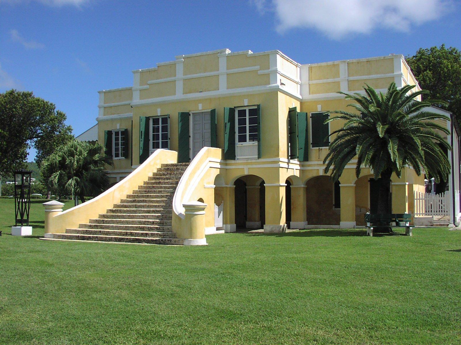
Christiansted National Historic Site Bookstore and Visitor Contact Visitor Center
Our bookstore is located at the historic Scale House, at the water's edge.
Christiansted National Historic Site Visitor Center Facility
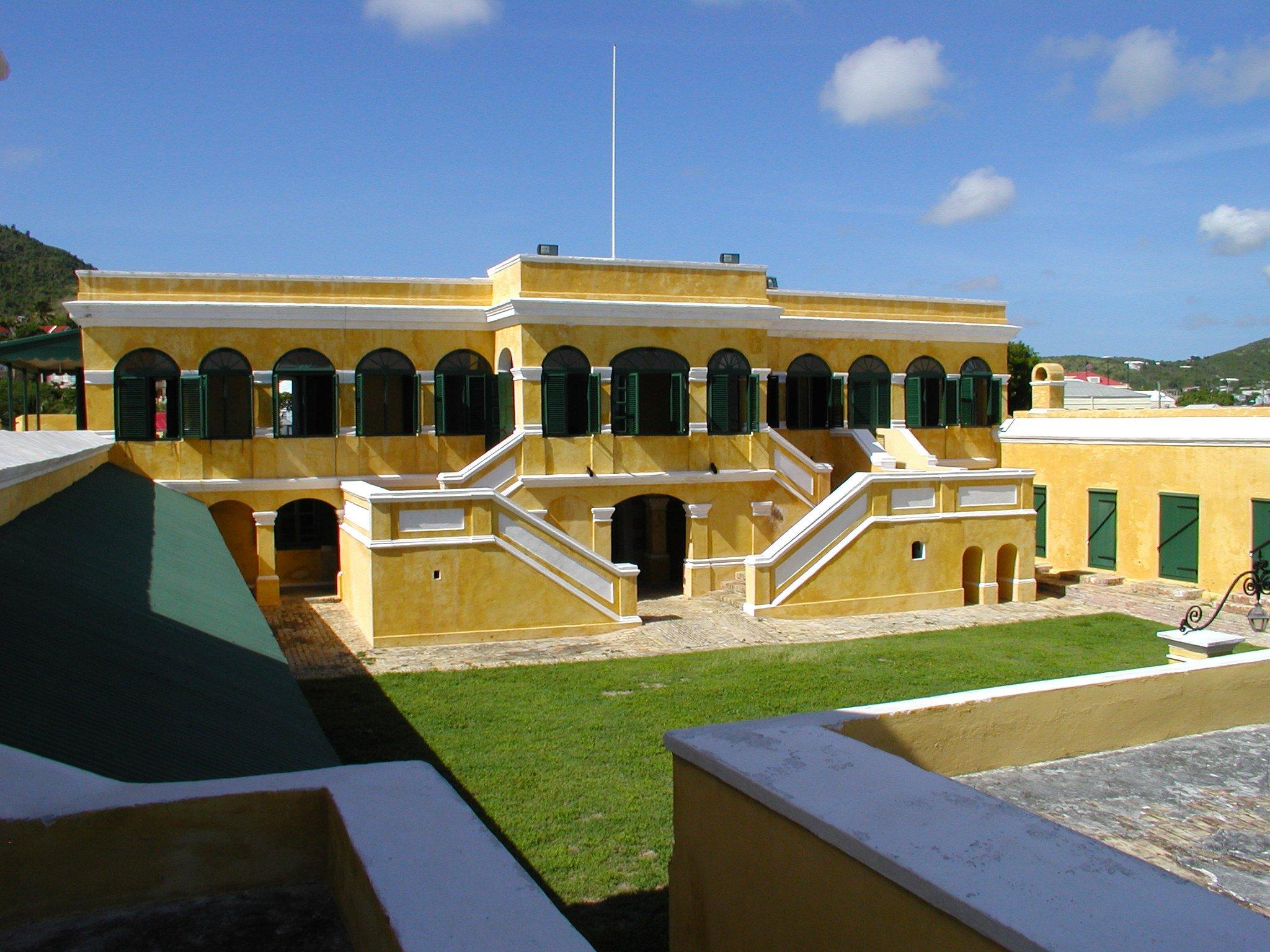
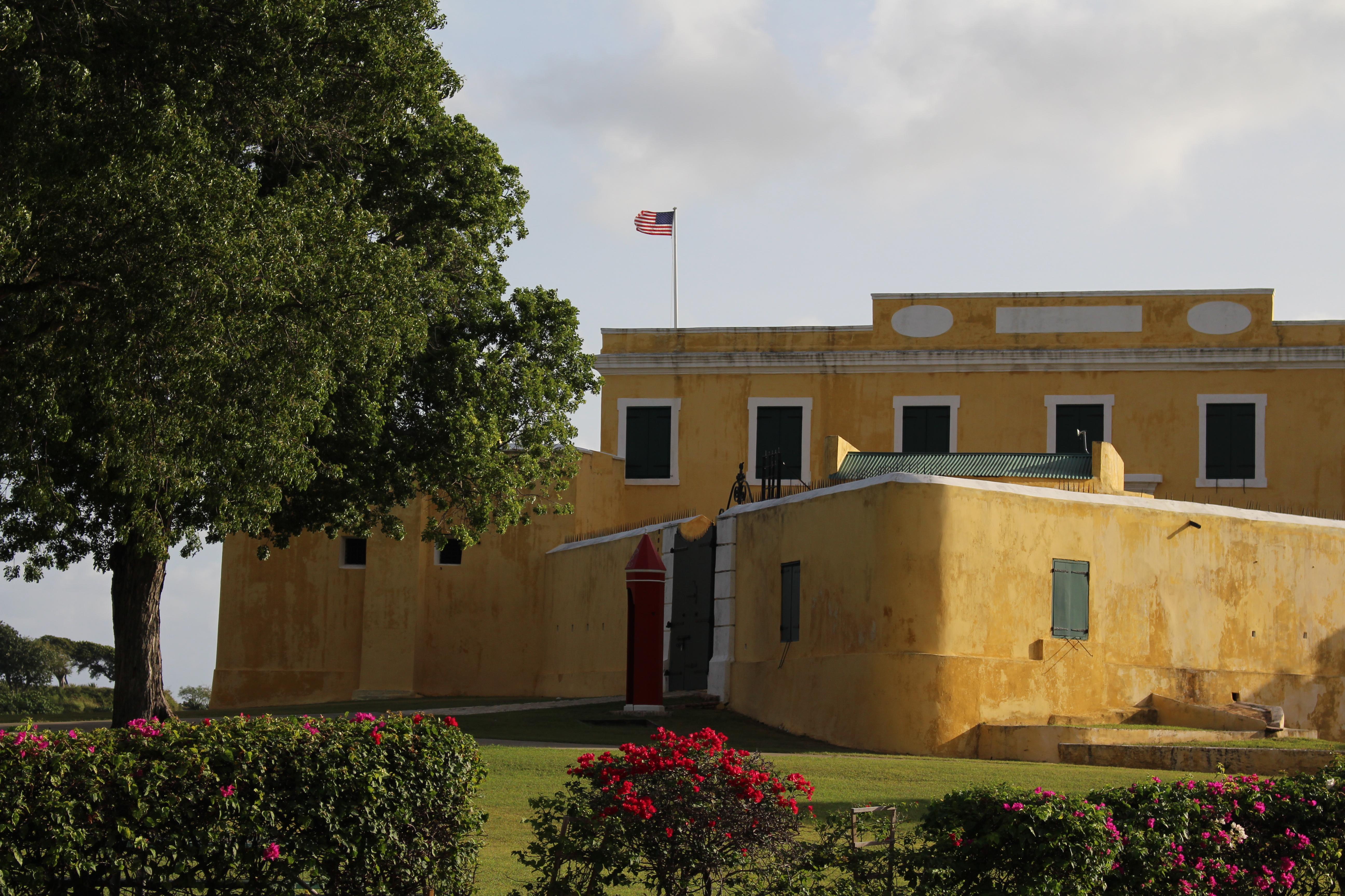
Fort Christiansvaern at Christiansted National Historic Site serves as the point of information for all three national park units on St. Croix, including Buck Island Reef National Monument and Salt River Bay National Historical Park and Ecological Preserve. Visit the fee booth at the fort for brochures, pamphlets, and guides. And be sure to check out our temporary exhibits. For group tours or special events, please contact the Division of Interpretation at (340) 773.1460.
