
El Morro National Monument
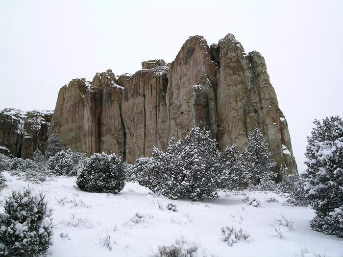
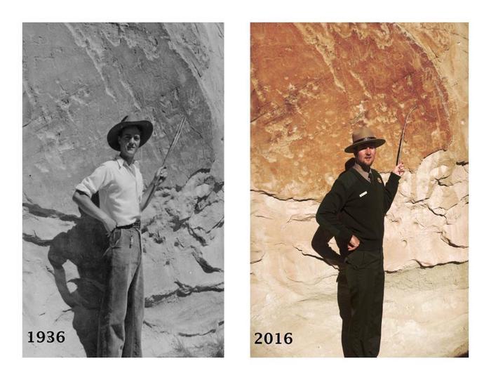
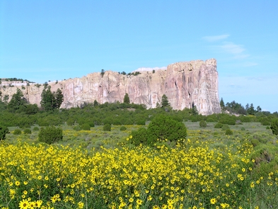
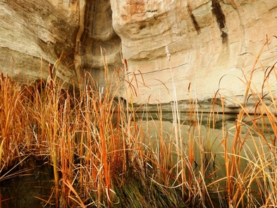
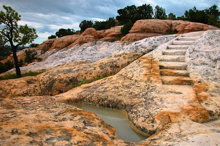
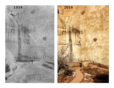
Imagine the refreshment of finding water after days of dusty travel. A reliable waterhole hidden at the base of a sandstone bluff made El Morro (the headland) a popular campsite for hundreds of years. Here, Ancestral Puebloans, Spanish, and American travelers carved over 2,000 signatures, dates, messages, and petroglyphs. Make El Morro National Monument a stopping point on your travels.
RecAreaDirections
From Albuquerque, NM, or from the east: take Interstate 40 west to Grants. At exit 81, go south on Highway 53 for 42 miles to El Morro National Monument. From Flagstaff, AZ, or from the west: take Interstate 40 east to Gallup. At exit 20, go south on Highway 602 for about 31 miles. Turn east (left) onto Highway 53. El Morro is 25 more miles.
Open with Google MapMisc
| Stay Limit | |
| Reservable | false |
| Keywords | |
| Map Link | |
| Contact Phone | |
| Contact Email |
Permits info
Facilities
El Morro Campground Campground
List of CampsitesEl Morro National Monument operates a nine-site campground year-round. First come-first served. Each site has a graveled tent pad, picnic table and ground grill for fires. During the warmer months, water is available at spigots that are centrally located along the campground loop road. Once the overnight low's begin to reach freezing temperatures, water is turned off for the season. There are no hookups for RVs. The length limit on all motor homes is 27 feet overall. One site, #5, is handicapped accessible.
El Morro Visitor Center Facility
Your visit to El Morro National Monument begins here. Park rangers and volunteers are available to answer your questions and orient you to the facilities and self-guided trails. Both of the park trails begin at the visitor center.
