
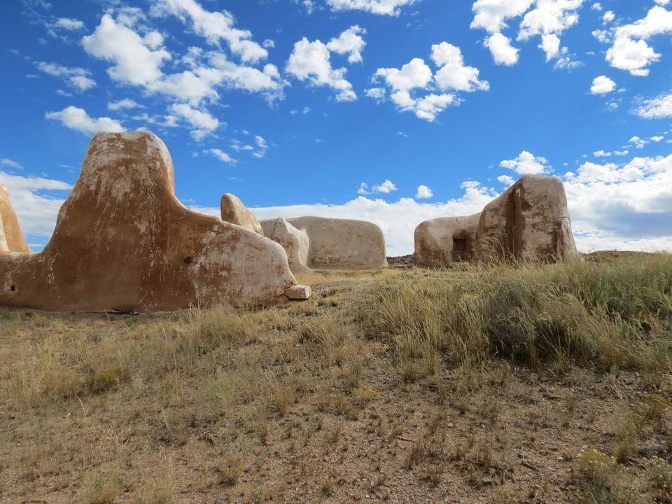
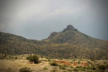
Fort Bowie National Historic Site
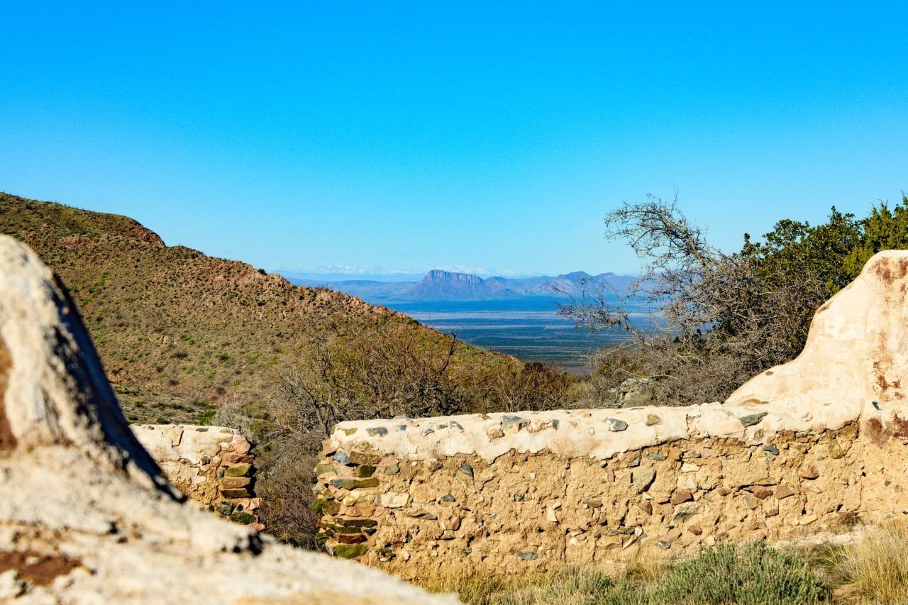
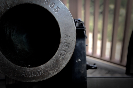
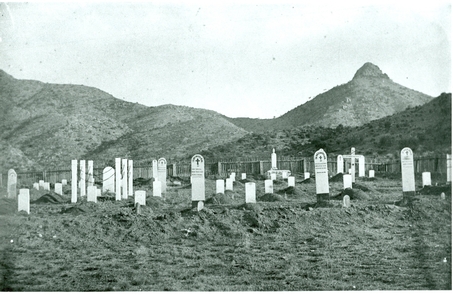
Fort Bowie witnessed almost 25 years of conflict between the Chiricahua Apache and the US Army, and remains a tangible connection to the turbulent era of the late 1800s. Explore the history of Fort Bowie and Apache Pass as you hike to the visitor center and old fort ruins. Today, this peaceful landscape stands in stark contrast to the violence that once gripped this land.

RecAreaDirections
From Willcox, AZ / points west on I-10: drive 23 miles east of Willcox on Interstate 10 to the the town of Bowie. Exit at the first Bowie exit and drive through the town. Follow the signs for Fort Bowie National Historic Site and turn south on Apache Pass Road. Drive 13 miles to the Fort Bowie Trailhead (the last mile of the road is unpaved). Be prepared to walk the three miles round trip to the ruins and back to your car.
Open with Google MapMisc
| Stay Limit | |
| Reservable | false |
| Keywords | |
| Map Link | |
| Contact Phone | |
| Contact Email |
Permits info
Facilities
Fort Bowie National Historic Site Visitor Center Facility
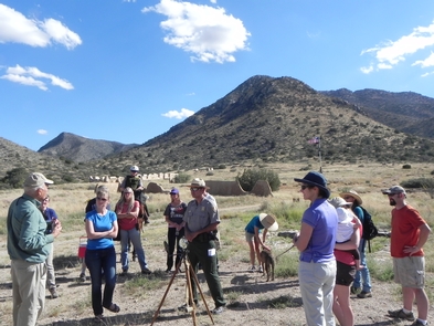
The visitor center is best accessed via the Fort Bowie Trail. The story of Apache Pass and the events that led to the establishment of Fort Bowie are best understood via a 3-mile roundtrip hike from the trailhead on Apache Pass Road to the visitor center and Second Fort Ruins. For those who cannot hike the trail visit our Directions page for more info: http://www.nps.gov/fobo/planyourvisit/directions.htm
