
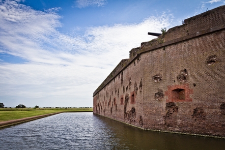
Fort Pulaski National Monument
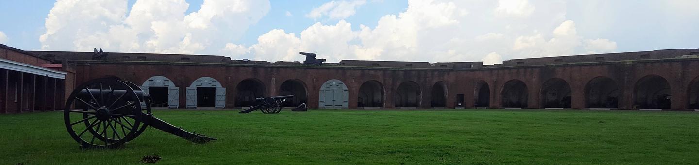
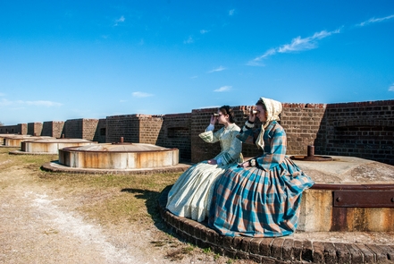
For much of the 19th century, masonry fortifications were the United States’ main defense against overseas enemies. However, during the Civil War, new technology proved its superiority to these forts. The Union army used rifled cannon and compelled the Confederate garrison inside Fort Pulaski to surrender. The siege was a landmark experiment in the history of military science and invention.

RecAreaDirections
From Interstate I-95, take Exit 99 onto Interstate I-16 East (James L Gillis Memorial Hwy) for 7 miles. Take Exit 164A onto Interstate I-516 East toward US-80 East. Take Exit 3 (US-17 S/US-80 E) toward US-80 East. Turn left onto Ocean Highway, Ogeechee Rd (US-17 N, US-80 East). Bear right onto West Victory Drive (US-80 East). Continue on US-80 East for 13 miles.
GPS Coordinates for Fort Pulaski National Monument:
N32° 01.680 W080° 53.525
Open with Google MapMisc
| Stay Limit | |
| Reservable | false |
| Keywords | |
| Map Link | |
| Contact Phone | |
| Contact Email |
Permits info
Facilities
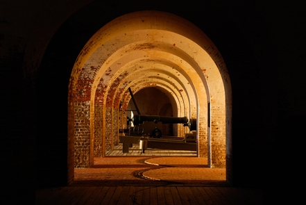
Fort Pulaski Visitor Center Visitor Center
The Fort Pulaski Visitor Center is located next to the main visitor parking area and historic Fort Pulaski. Here you can watch the park film, check out a variety of exhibits about Fort Pulaski, and get park and program information for a wonderful visit to the national monument.
