
Saguaro National Park
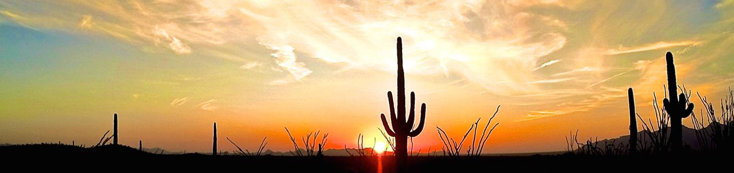
Tucson, Arizona is home to the nation's largest cacti. The giant saguaro is the universal symbol of the American west. These majestic plants, found only in a small portion of the United States, are protected by Saguaro National Park, to the east and west of the modern city of Tucson. Here you have a chance to see these enormous cacti, silhouetted by the beauty of a magnificent desert sunset.
RecAreaDirections
Saguaro National Park has two districts separated by the city of Tucson. The address for the Saguaro National Park West District is 2700 N Kinney Rd. We do not recommend using mobile mapping applications to search for either district. Instead, please click the link to the directions page, determine which district you plan to visit, and enter that physical address into the mobile application.
Open with Google MapMisc
| Stay Limit | |
| Reservable | false |
| Keywords | |
| Map Link | |
| Contact Phone | |
| Contact Email |
Permits info
Facilities
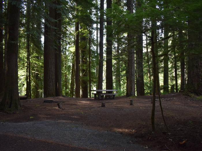
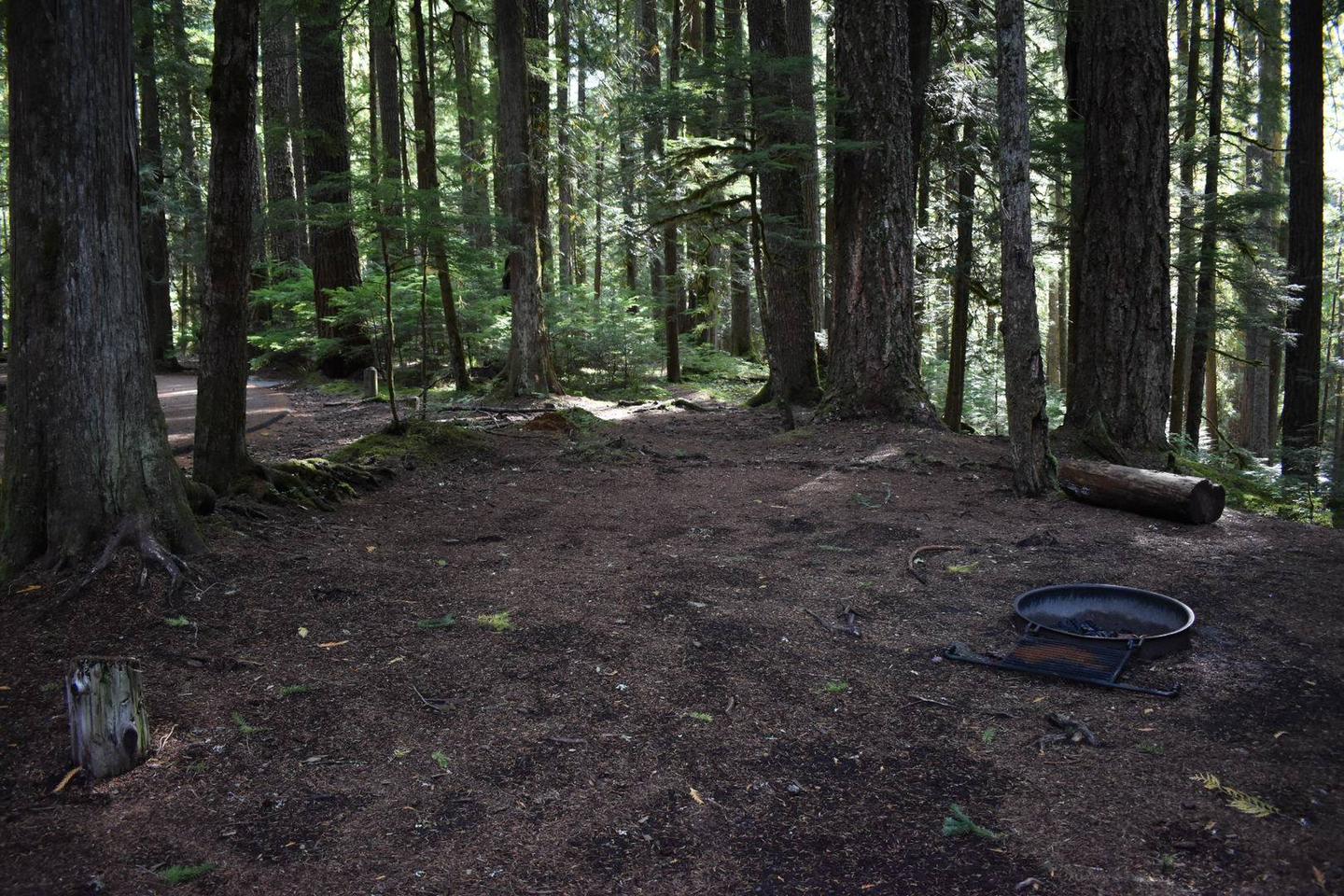
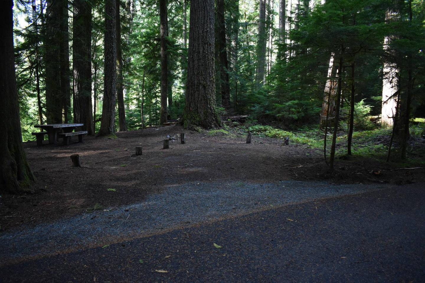
Saguaro National Park Wilderness Permits Campground
List of CampsitesOverview
There are no campgrounds accessible by vehicle (including RV) within Saguaro National Park. For fit hikers interested in backpacking a minimum of 4.4 miles into the rugged Rincon Mountains, 6 wilderness campgrounds are available.
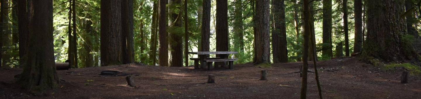
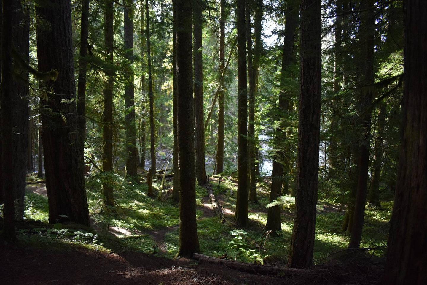
The Rincon Mountains in Saguaro National Park rise out of the Sonoran Desert to over 8000 feet in elevation and host vegetative communities ranging from desert cacti, desert grasslands, and oak woodlands, to mixed conifer forests.
In 1976, congress designated 57,930 acres of the Rincon Mountains within the park as the Saguaro Wilderness managed as "an area where the each and its community of life are untrammeled by humans, where people themselves are visitors who do not remain."
Recreation
Water
Without question, water will be your most important concern while visiting the Saguaro Wilderness. Surface water is generally scarce during most of the year. At times, it is non-existent. Start your trip with plenty of potable water. Know where water sources are located and plan your trip according to water availability.
It is recommended that you treat/filter all water used for human consumption.
All campgrounds within the Saguaro Wilderness are situated next to intermittent streams or springs. During dry seasons, water may not be available. The water source at Manning Camp is a spring surrounded by chain link fencing. Please do not enter the fenced area. Water may be obtained a short distance downstream. The water tap at the Manning Camp Cabin is not for public use and is usually turned off.
If your itinerary calls for you to exit on the same trail you entered, you might consider caching potable water along the trail. This will assure a source of drinking water on your way out. We recommend sealed water containers with your name and the date written on them.
For current water reports, inquire at the visitor center - (520) 733-5153.
Weather
Temperatures and weather can vary greatly across the Saguaro Wilderness and is largely dependent on elevation.
Manning Camp is located at an elevation of 8,000 feet, and the visitor center is at an elevation of 3,080 feet.
The average high temperature at the visitor center in January is 63 degrees and the average low temperature is 38 degrees. For the same month, the average high temperature at Manning Camp is 44 degrees and the average low is 25 degrees.
In June, the average high temperature at Manning Camp is 77 degrees and the average low temperature is 48 degrees. For the same month, the average high temperature at the visitor center is 98 degrees and the average low temperature is 67 degrees.
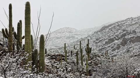
Winter Rainy Season: The typical winter rainy season occurs from December through February. Rainfall is generally light and gentle but may fall for extended periods. Expect snow at higher elevations.
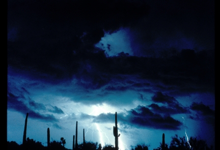
Summer Rainy Season: The typical summer rainy season occurs from July through September. Rainfall can be intense and heavy. Lightning and flash flooding are common - extra caution is advised.
When to Go
Summer temperatures in the Sonoran Desert regularly exceed 100 degrees and can reach 115 degrees. Higher elevation areas such as Manning Camp can receive significant winter snowfall.
Spring and Fall can be ideal times to backpack in the Saguaro Wilderness but it is still important to pay attention to projected weather. If the predicted high temperature at your trailhead is between 80 and 95 degrees, plan your trip so that you arrive at higher elevations by early afternoon. If the predicted high temperature is between 95 and 110 degrees, leave the trailhead early enough that you can arrive at elevations over 7000 feet by 10 am - leaving the trailhead before sunrise is recommended. And, if the predicted high temperature is over 110 degrees, consider cancelling your trip.
At any time of the year, backpackers should plan to leave their trailhead by noon. Backpacking in the Rincon Mountains is a difficult endeavor. Later starts frequently lead to camping illegally in areas other than designated campgrounds.
Topographic Maps
All visitors to the Saguaro Wilderness should have the necessary orienteering and map reading skills to safely get around. We suggest that you carry National Geographic’s “Trails Illustrated Map”, which covers the entire park in one waterproof, tear-resistant map. The map is available at the visitor center.
If you would like to purchase the map to aid in planning trip, by mail or phone prior to your arrival contact the Western National Parks Association bookstore.
WNPA Bookstore
3693 South Old Spanish Trail
Tucson, Arizona 85730
(520) 733-5155
Livestock. Limited overnight livestock pack trips are permitted in the park. Please contact 520-733-5153 for additional information.
Natural Features
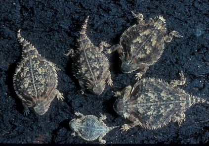
The 70,000 square mile Sky Island region of southeastern Arizona, southwestern New Mexico, and northwestern Mexico is globally important because of its rich diversity of species and habitats. These mountain "islands", forested ranges separated by vast expanses of desert and grassland plans, are among the most diverse ecosystems in the world. The Rincon Mountains of Saguaro National Park are the largest roadless sky island in the region.
There is still so much to learn about the park's exceptional biodiversity, particularly in remote backcountry areas, and you can assist park monitoring efforts! In the last 5 years, our staff has documented over 40 plant species never recorded in the park. Some were found right along trails! If you make a free iNaturalist account (at inaturalist.org or the iNaturalist app) you can submit photos of plants that you see while hiking. Our staff and other plant experts will help identify them! We are especially seeking observations from the less traveled higher elevations of the Rincon Mountains. For more information, check out our iNaturalist project Plants of the Saguaro NP High Country or contact our botanist Dan Beckman at [email protected]. A big thank you to Wild Tribute and Western National Parks Association for supporting our new 2022 project to search for rare plants in the park!
Charges & Cancellations
For more information on cancellations or changes, visit https://www.recreation.gov/rules-reservation-policies.
Rincon Mountain Visitor Center (East) Facility
At the visitor center, you will find the book store, information station, maps and restrooms. The visitor center is also the starting point for a scenic auto/bike tour around the Cactus Forest Loop Drive offering incredible views of the Rincon Mountains. There are several great hikes to do along the drive including the mile loop along the Freeman Homestead Trail to learn about homesteading in the desert. Many different hiking paths are outlined along the northern part of Cactus Forest Loop.
Red Hills Visitor Center (West) Facility
The Red Hills Visitor Center is a great place to learn about the park and start your visit to Saguaro National Park's West District. Views from the patio are spectacular and overlook the Red Hills and majestic Saguaro cactus forest nearby. Learn more about the unique geology of the Tucson Mountains, get great recommendations on how to get the most out of your time in the park, or explore the park bookstore. General information, park maps, and hiking guides are available in front of the building 24-hrs a day
Manning Camp Facility
- 8,000 feet elevation - 6 campsites (max 6 people per site) - water available year-round
Spud Rock Spring Facility
- 7,400 - 3 campsites (6 people max per site)
Happy Valley Saddle Facility
- 6,200 feet elevation - 3 campsites (6 people max per site)
Juniper Basin Facility
- 6,000 elevation - 3 campsites (6 people max per site)
Grass Shack Facility
- 5,300 feet elevation - 3 campsites (6 people max per site)
Douglas Spring Facility
- 4,800 feet elevation - 3 campsites (6 people max per site)
