
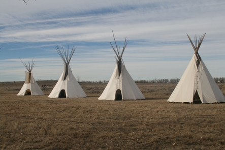
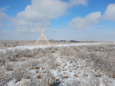
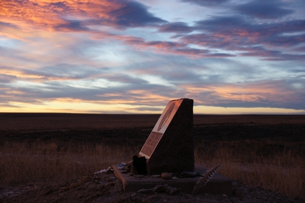
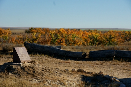
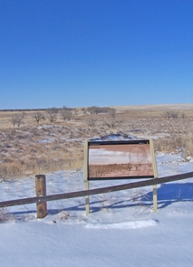
Sand Creek Massacre National Historic Site
On November 29th, 1864, Chiefs Black Kettle, White Antelope, Left Hand and others were encamped with around 750 Arapaho and Cheyenne people in a valley by the Big Sandy Creek. A hope for peace, brought forth by Black Kettle was in the balance. It was a tragic day where the blood of the Cheyenne and Arapaho was shed, and a painful memory for generations of Native Americans was made.

RecAreaDirections
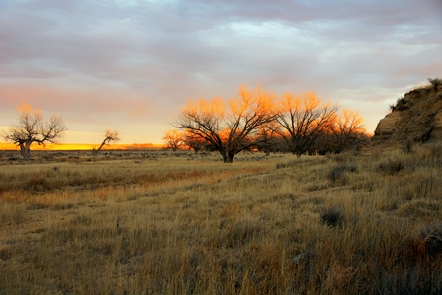
The Sand Creek Massacre is located in Kiowa County, Colorado. To visit the site, follow Colorado State Highway 96 east off Highway 287 near Eads, or west off Highway 385 at Sheridan Lake. Near Chivington, turn north onto County Road 54/Chief White Antelope Way or at Brandon, turn north onto County Road 59. Follow these roads to their intersections with County Road W. The park entrance is along CR W a mile east (right) of CR 54 or several miles west (left) of CR 59. Eight miles of dirt/sand roads lead to the
Open with Google MapMisc
| Stay Limit | |
| Reservable | false |
| Keywords | |
| Map Link | |
| Contact Phone | |
| Contact Email |
Permits info
Facilities
Sand Creek Massacre Visitor and Education Center Visitor Center
The Sand Creek Massacre Visitor and Education Center is located in downtown Eads, Colorado. It provides education and orientation materials and has a sales outlet for educational merchandise. On the second floor there is an exhibit space featuring images of people connected to the Sand Creek Massacre. NOTE: As of February 2022, the Visitor and Education Center is temporarily CLOSED.
Sand Creek Massacre Visitor Contact Station Facility
The park Visitor Contact Station is located at the historic site, which is eight miles north of the town of Chivington. It provides education and orientation materials and has a sales outlet for educational merchandise. The Visitor Contact Station maintains the same hours as the park. NOTE: Bookstore sales end at 3:30 pm.
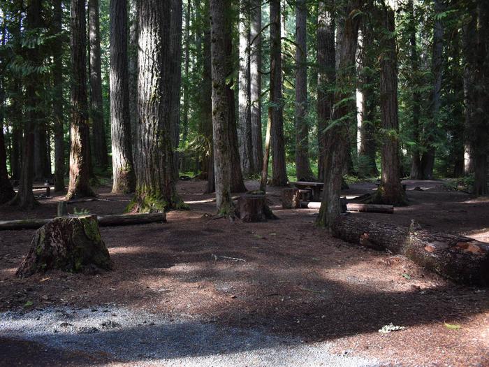
#1084 South Fork Pilgrim Creek Facility
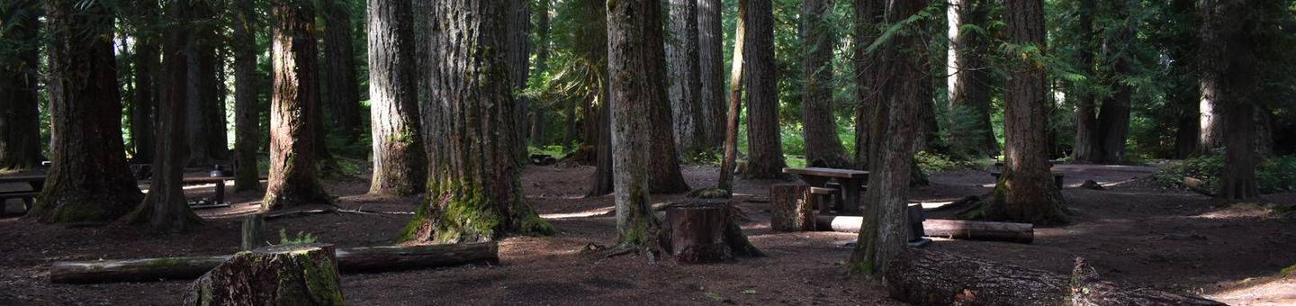
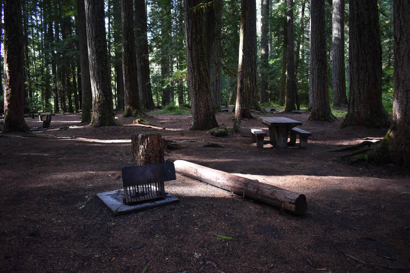
South Fork Pilgrim Creek Trail #1084 travels from the Pilgrim Creek valley bottom and ends at the head end of the South Fork of Pilgrim Creek drainage on FSR 2710. Both the lower and upper trailhead are accessible by open Forest System road. The trail crosses the South Fork Pilgrim Creek just up the trail from the lower trailhead. This crossing can be challenging and dangerous during peak flows.
South Fork Pilgrim Creek #1084
