
Chesapeake Bay Virginia National Estuarine Research Reserve
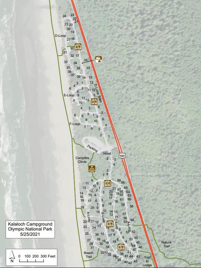
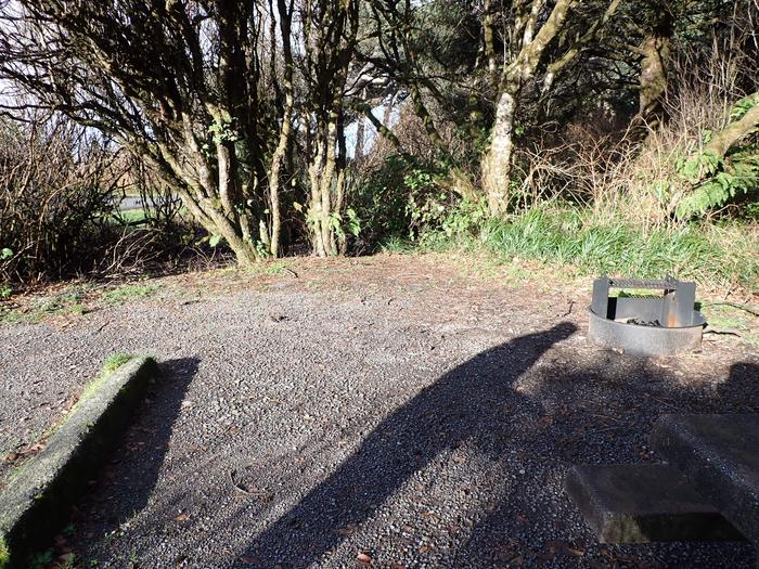
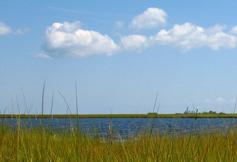
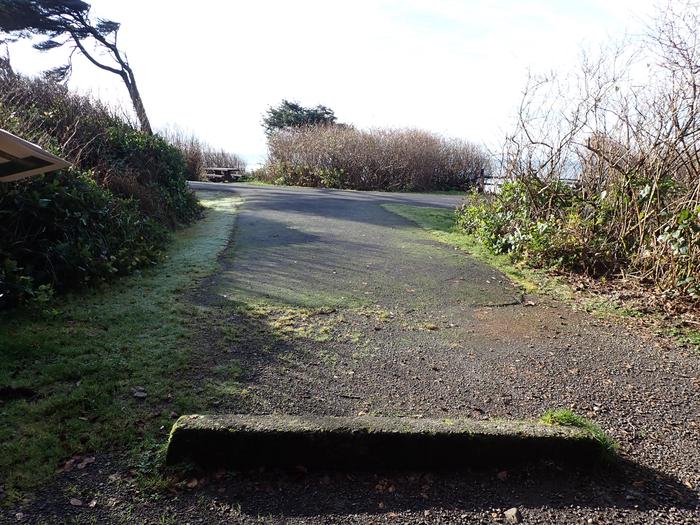
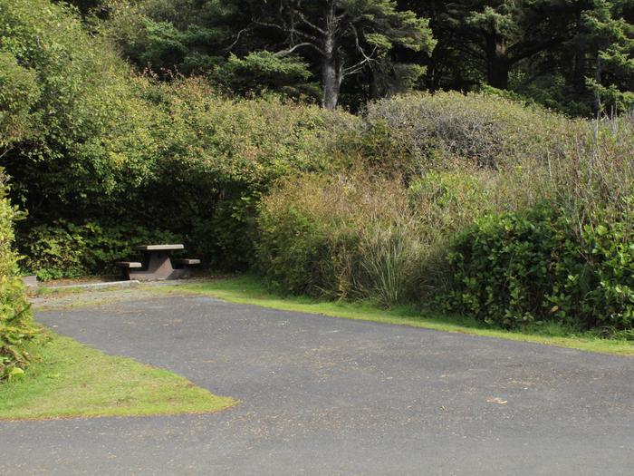
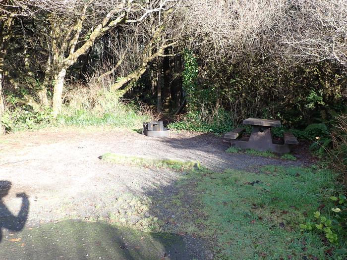
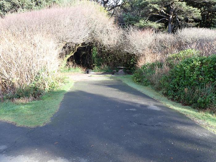
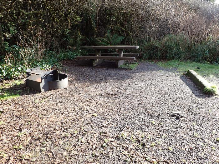
The Chesapeake Bay (VA) National Estuarine Research Reserve features four components that are all within the York River basin--Goodwin Islands, Catlett Islands, Taskinas Creek and Sweet Hall Marsh. Like most of the reserves in the national system, Chesapeake Bay-VA is diverse. The source of its diversity is its range of salinity gradient. Salinity is an important determinate of what species can live in an area. Catlett Islands and Sweet Hall Marsh are privately owned and incorporated into the Reserve system through conservation easements and management agreements. Access to these components is limited to research and education activities that are coordinated through the Reserve. General public access is not permitted. Taskinas Creek Reserve lies within the boundaries of York River State Park (YRSP) and therefore access is controlled by park regulations. The Park is open year-round from 8 am to dusk. The Park's Visitor Center and outdoor amphitheater are opened seasonally (closed in the winter). Visitors are encouraged to use more than 40 km (25 mi) of self-guided hiking, biking and equestrian trails in addition to the York River fishing pier and boat ramp; boat (pond only) and canoe rentals are available seasonally. Deer hunting is only allowed in season (November/December) during special controlled hunts. Many of the facilities and trails are Americans with Disabilities Act (ADA) compliant.
RecAreaDirections
The reserve is located within the York River Basin, approximately one hour north of Norfolk.
Open with Google MapMisc
| Stay Limit | |
| Reservable | false |
| Keywords | |
| Map Link | |
| Contact Phone | |
| Contact Email |
Permits info
Facilities
no data available
