
Waquoit Bay National Estuarine Research Reserve
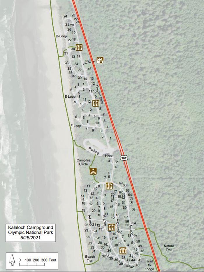
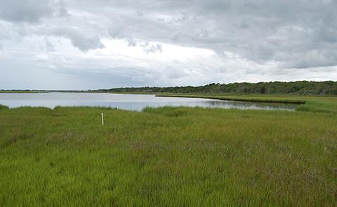
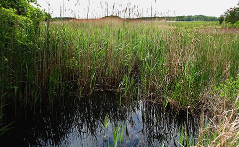
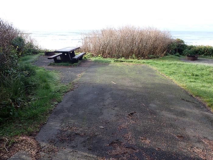
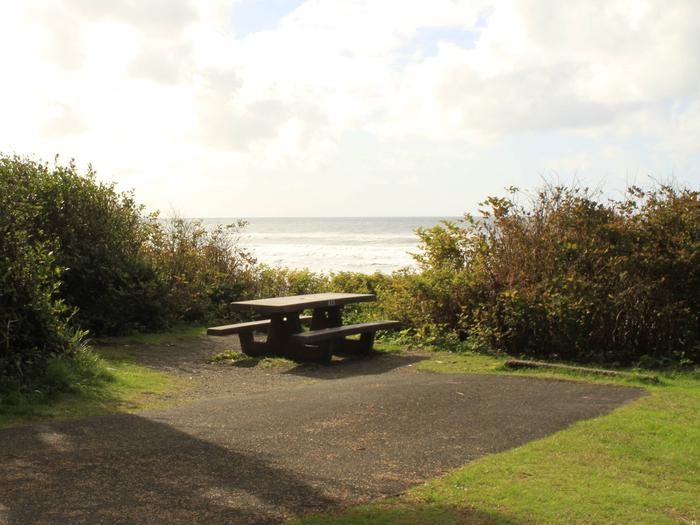
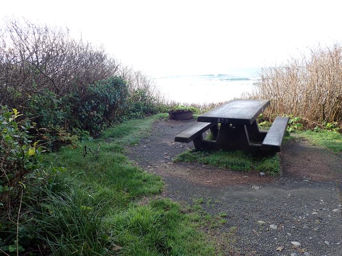
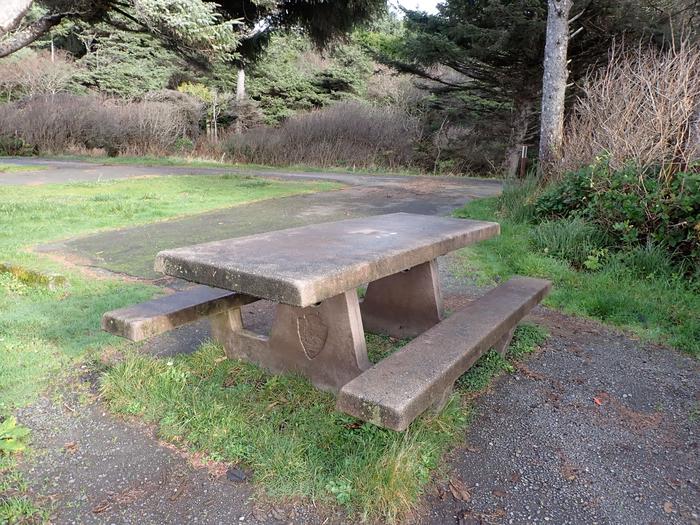
Waquoit Bay Reserve encompasses open waters, barrier beaches, marshlands and uplands on the south shore of Cape Cod. Within the reserve boundaries are included the Reserve Headquarters and Visitor Center, Washburn Island and South Cape Beach State Park. Washburn Island is one of the last undeveloped coastal properties on Cape Cod. The L-shaped island, with a barrier beach, oak and pine forests and coastal salt ponds, is a quiet refuge for animals as well as human visitors. South Cape Beach State Park is a beautiful swimming beach that is noted for surf casting during the annual Bluefish and Striped Bass migrations.
Fragile dune systems provide Waquoit Bay Reserve with some protection against the dynamic shore that changes with the season as well as in response to coastal storms and hurricanes. The beaches serve as nesting grounds for the federally threatened Piping Plover and foraging grounds for the endangered Roseate Tern.
RecAreaDirections
The reserve is located on the south shore of Cape Cod, in the towns of Falmouth and Mashpee.
Open with Google MapMisc
| Stay Limit | |
| Reservable | false |
| Keywords | |
| Map Link | |
| Contact Phone | |
| Contact Email |
Permits info
Facilities
no data available
