
McInnis Canyons National Conservation Area
McInnis Canyons National Conservation Area is one of BLM Colorado's most diverse desert recreation areas. Hikers will be stunned by the red-rock cliffs of Black Ridge Canyons Wilderness while the Ruby-Horsethief River Corridor offers Class I and II flatwater boating nearby. The area also offers mountain biking at Mack Ridge/Kokopelli and off-highway vehicle trails in Rabbit Valley. The Trail Through Time, adjacent to an active dinosaur quarry, provides visitors a chance to learn about fossils and paleontological finds in the area. Find outstanding hiking and horseback riding at Devil's Canyon and Pollock Bench trailheads off of Kingsview Road outside of Fruita. The area is home to mountain lions, desert bighorn sheep, elk, deer, eagles and collared lizards.

RecAreaDirections
McInnis Canyons National Conservation Area is accessible via a number of routes.
Open with Google MapMisc
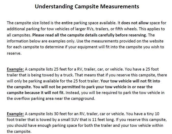
| Stay Limit | |
| Reservable | false |
| Keywords | |
| Map Link | |
| Contact Phone | |
| Contact Email |
Permits info
Facilities
Devils Canyon Trailhead Facility
Devil's Canyon Trailhead offers exceptional hiking and horseback riding opportunities in a landscape of colorful intricate cliffs and deep canyons that tell a story shaped by shallow seas, a meandering river systems, and ongoing uplift and erosion. There are many trail options and distances to choose from.
Please stay on designated trails. The National Conservation Area serves as an outdoor museum of the life and people that came before us. Paleontological (dinosaurs) and cultural sites help us understand our past. Please leave what you find. Enjoy rock art but please do not touch (oils from your hands contribute to deterioration).
For a map visit: https://www.coloradocanyonsassociation.org/maps-ncinnis-canyons/
Pollock Bench Trailhead Facility
Pollock Bench Trailhead offers exceptional hiking and horseback riding opportunities in a landscape of colorful intricate cliffs and deep canyons that tell a story shaped by shallow seas, a meandering river systems, and ongoing uplift and erosion. There are many trail options and distances to choose from. The majority of trails out of Pollock Bench Trailhead access the Black Ridge Canyons Wilderness. Please stay on designated trails. The National Conservation Area serves as an outdoor museum of the life and people that came before us. Paleontological (dinosaurs) and cultural sites help us understand our past. Please to not remove any materials - help protect your heritage. Enjoy rock art but please do not touch (oils from your hands contribute to deterioration). For a map visit: https://www.coloradocanyonsassociation.org/maps-ncinnis-canyons/
Dinosaur Hill Trailhead Facility
A mildly strenuous hike to the overlook provides panoramic views of the Grand Valley and the Colorado River. There are picnic sites and a large parking area for RVs. There are several interpretive signs along the trail about dinosaur fossils that have been discovered here. A giant plant-eating dinosaur, known as the Brontosaurus, was recovered here in 1901. This was one of the most complete specimens found to date. You can learn how this dinosaur was recovered and view the quarry site and bone reproductions during your visit. Most of this one-mile trail has been designed to include opportunities for hikers with visual impairments through tactile signs and a guide system.
McDonald Creek Trailhead Facility
Hike along a stream bed for several miles to the Colorado River in search of rock art sites among outstanding scenery. Please be considerate of this fragile desert canyon - All the rock art can be seen without leaving the trail. Binoculars are a very good way to see the rock art details. Please walk only in the streambed to help preserve the natural beauty and your sense of discovery of this area. The McDonald Creek Cultural Area is closed to camping and campfires and the trail is open to foot traffic only.
Rabbits Ear Trailhead Facility
Rabbit's Ear Trail is located in Rabbit Valley within the McInnis Canyons National Conservation Area. This 5.6 mile loop climbs 700 feet to an impressive vista of the Colorado River and the Grand Mesa to the LaSal Mountains in Utah. This trail is open to hiking only. For a map of Rabbit Valley, visit https://www.coloradocanyonsassociation.org/maps-ncinnis-canyons/
Wildhorse Mesa Facility
Wildhorse Mesa is an equestrian and hiking trail located in Rabbit Valley within McInnis Canyons National Conservation Area. To view a map of Rabbit Valley visit: https://www.coloradocanyonsassociation.org/maps-ncinnis-canyons/
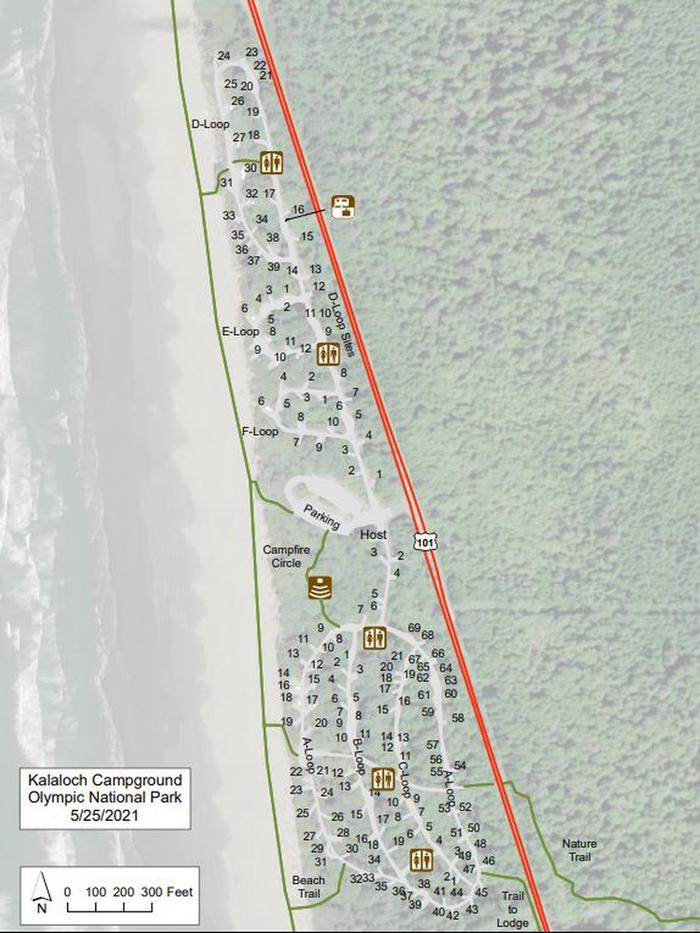
Knowles Overlook Campground Campground
List of CampsitesCONSTRUCTION AT KNOWLES OVERLOOK CAMPGROUND BEGINS NOVEMBER 15, 2021 AND WILL CONTINUE THROUGH THE WINTER. THE CAMPGROUND WILL BE CLOSED DURING CONSTRUCTION.
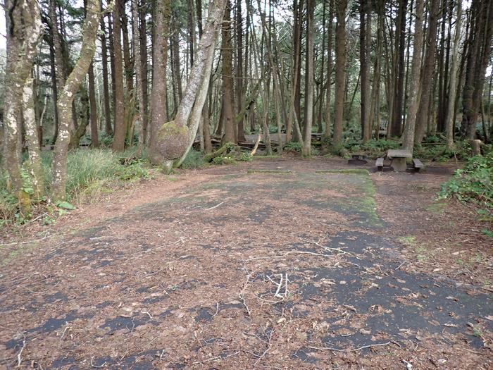
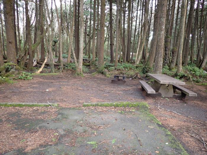
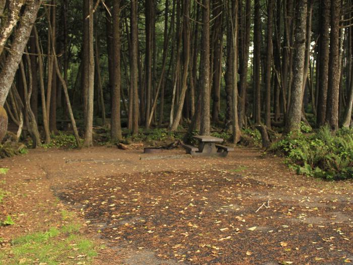
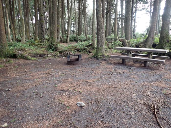
Castle Rocks Campground Campground
List of CampsitesCastle Rocks Campground features one site with two picnic tables and a pit toilet. This site is located in Rabbit Valley, within McInnis Canyons National Conservation Area. There is no fee associated with this site - please leave it better than how you found it. Camping is limited to 7 days.
